St. Matthews
St. Matthews
Floyd’s Station was established by Col. John Floyd in 1779 as protection from Indian attacks and was located along the middle fork of the Beargrass Creek near today’s Breckenridge Ln. in St. Matthews.
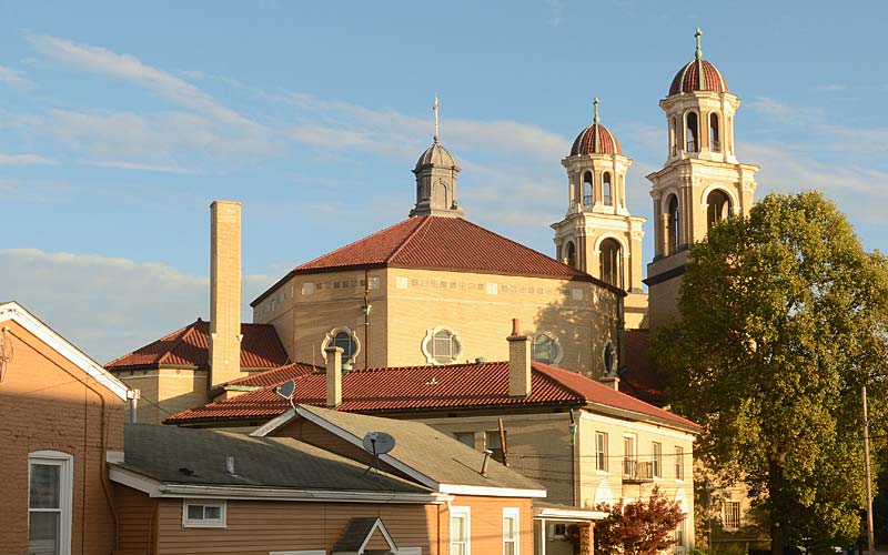
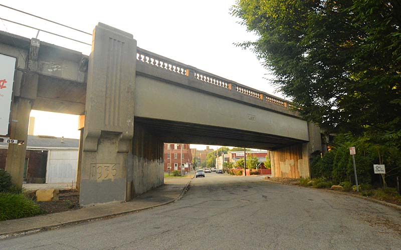
The Louisville and Lexington Turnpike was a stagecoach route connecting the eastern part of the state to the Ohio River and is known today as Shelbyville Rd and Frankfort Ave. Paralleling that, the Louisville and Frankfort Railroad was completed in 1849 when the area had already become known as Gilmans’s Point, being named for the tavern owner. The area’s first post office was opened in 1851 and image-conscious residents decided to name the community after the Episcopal church, established there in 1839.
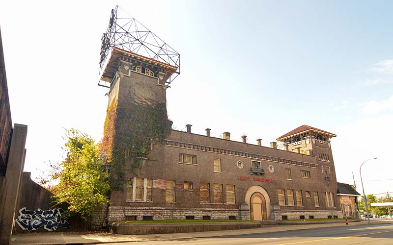
The area was farmland until 1893 when the first subdivision was planned. In 1901 the interurban train connected St. Matthews and Louisville, while the area was well known for its cockfighting establishments and potato farms. The St. Matthews Potato Exchange located on the rail line was the second largest potato shipper in the nation before it closed in 1946.
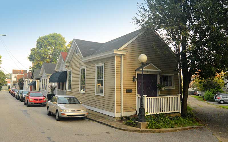
Housing booms in the 1920s, and after the 1937 flood, brought a new type of suburban shopping to the area. In the three decades between 1940 and 1970 a large business district developed along Lexington and Shelbyville Rds. and Frankfort Ave. to serve the expanding suburbs.
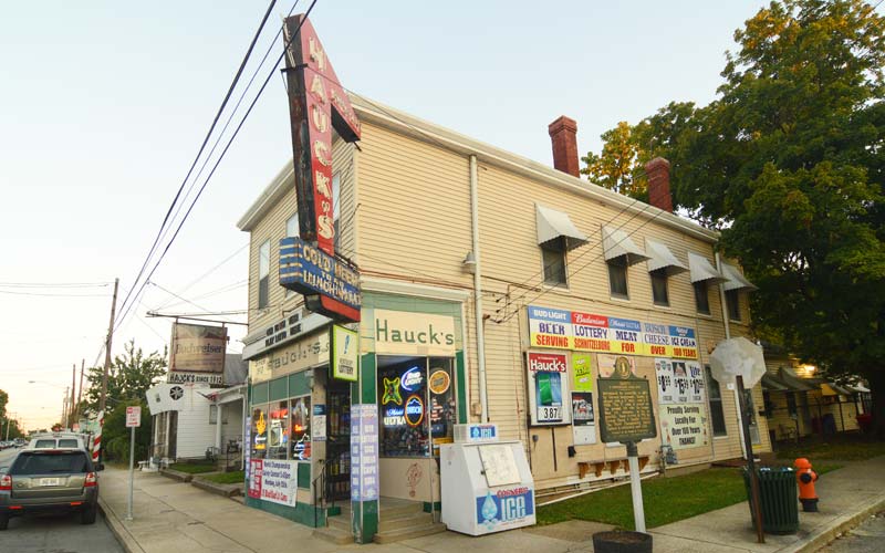
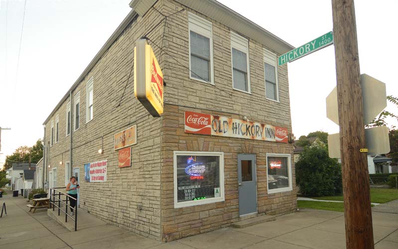
The original town’s center is a vibrant restaurant and bar district today, while suburban sprawl continues its creep eastward provided by automobile dependance.
St. Matthews is a large irregularly shaped city centered at the intersection of Breckenridge Ln., Chenoweth Ln., Westport Rd., Lexington Rd., Frankfort Ave., and Shelbyville Rd.
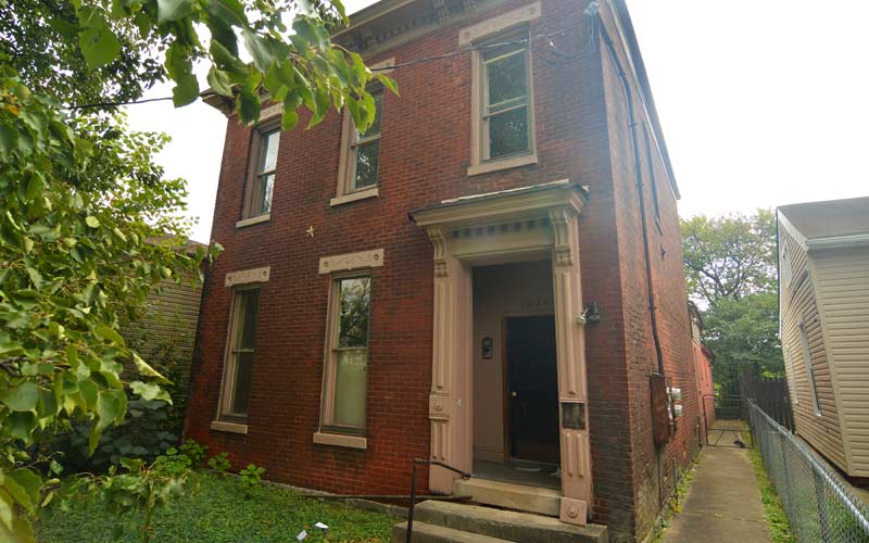
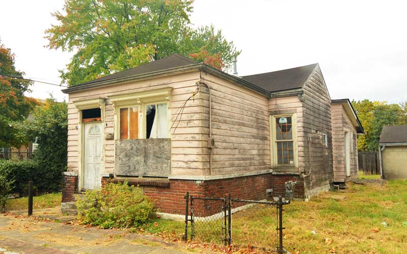
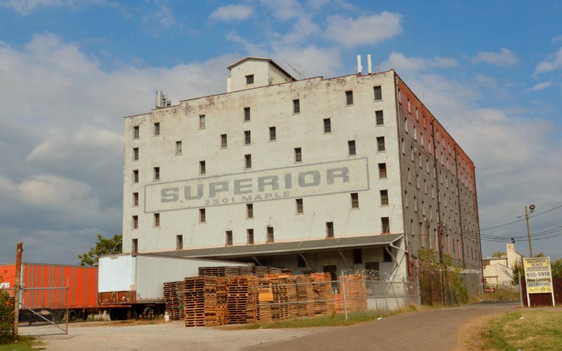
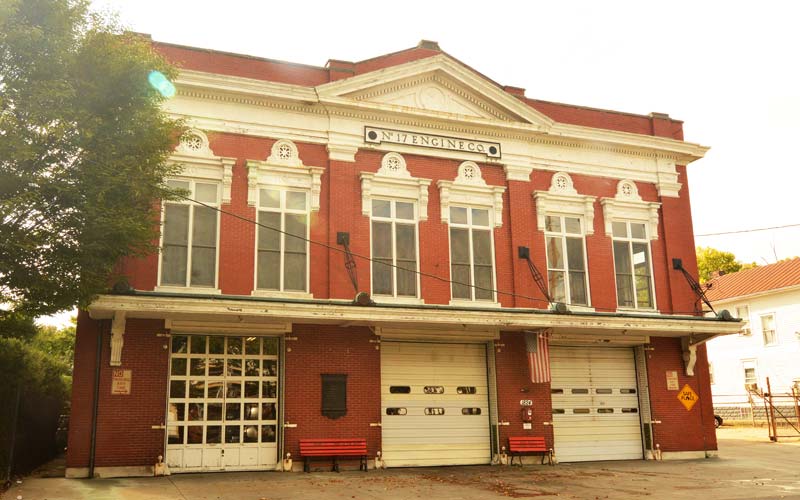
GALLERY
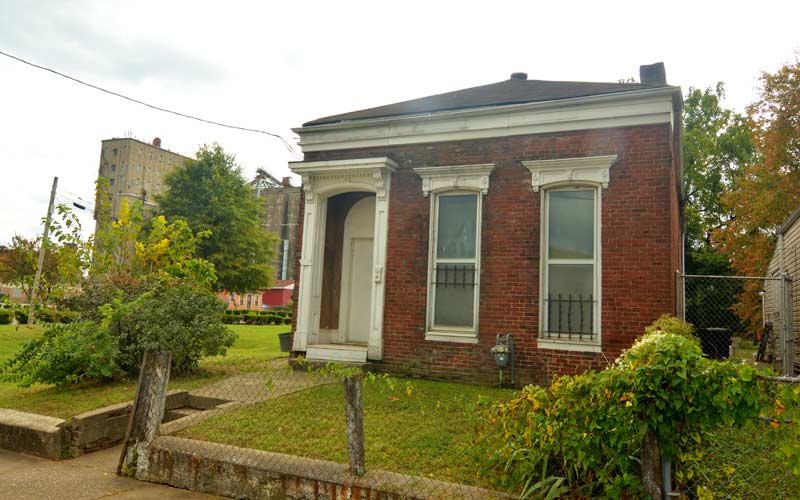
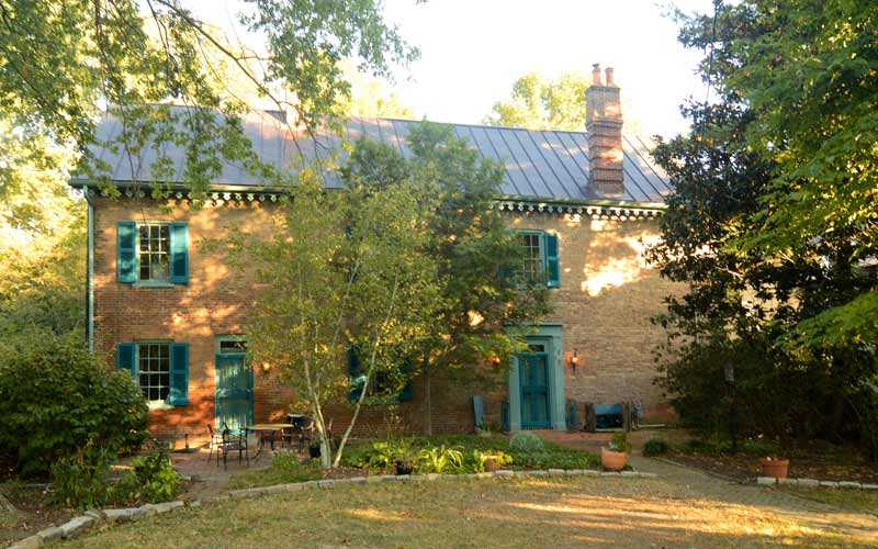
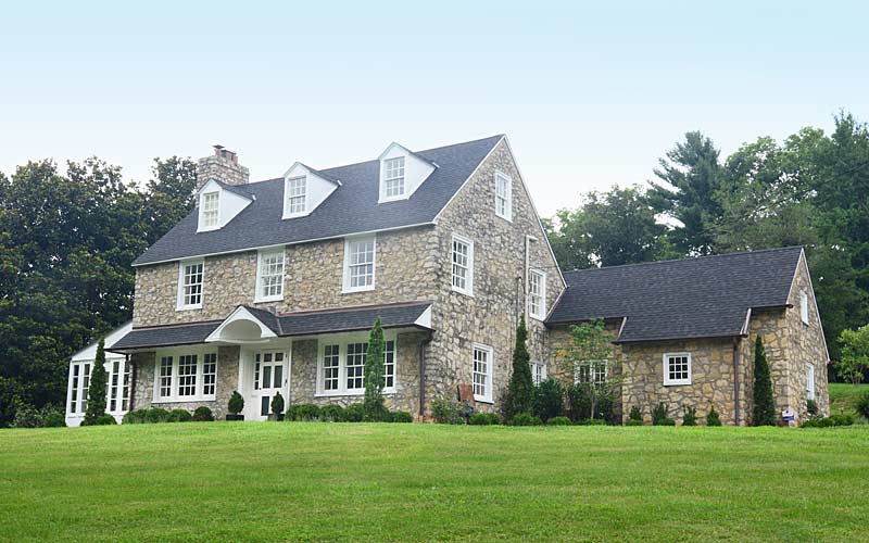
Early farmhouse
Chenoweth Ln. @ Leland Rd.
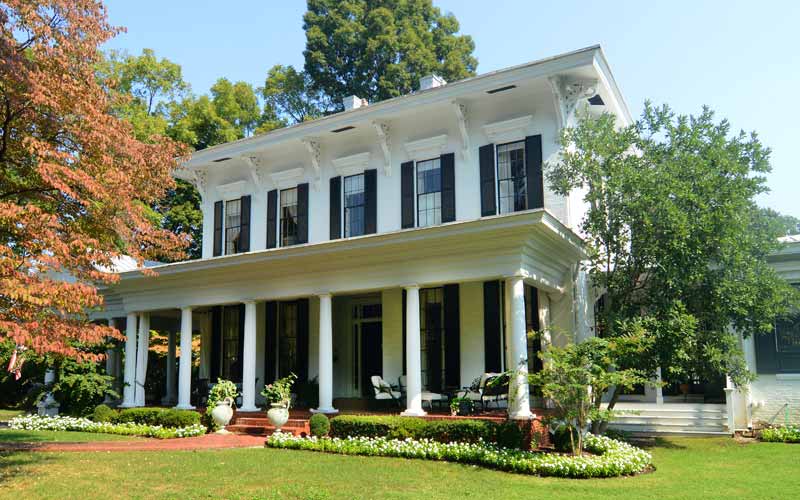
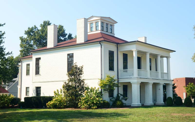
Ridgeway, c. 1816-18
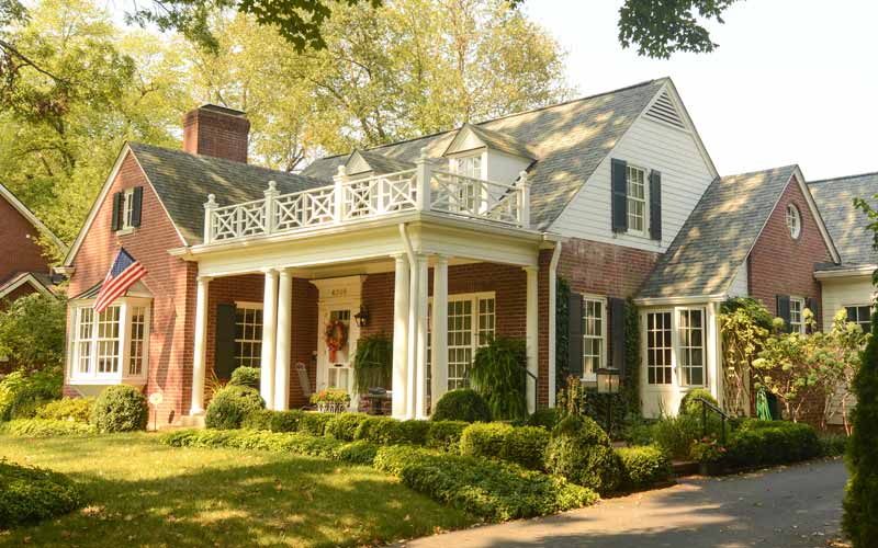
4095 Massie Ave.
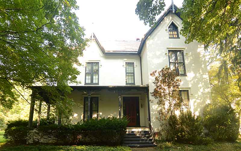
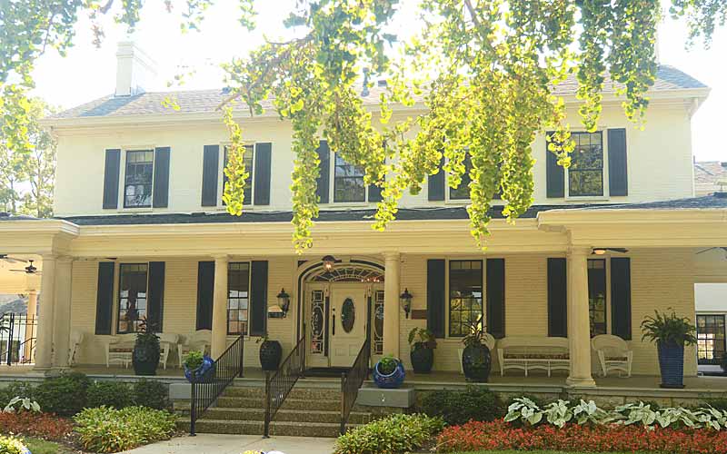
Winchester Place
Near Breckenridge Ln.
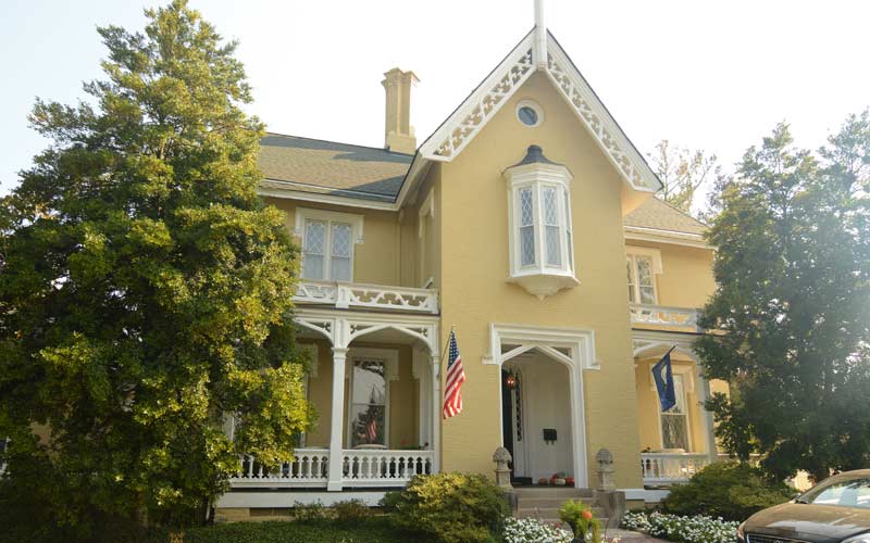
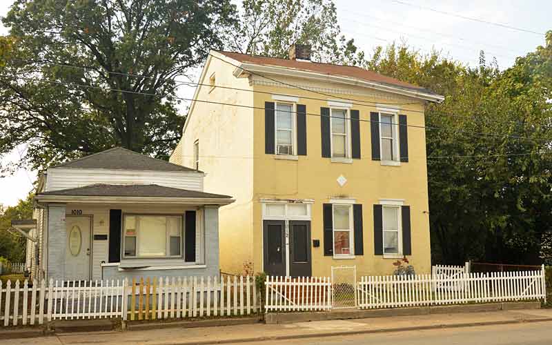
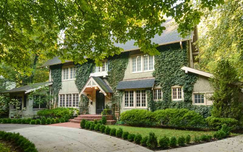
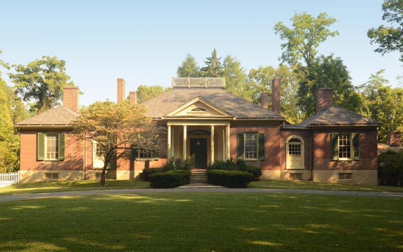
Brown House, c. 1853
401 S. Hubbards Ln.
Mallard Crossing
Bowling Blvd. @ Browns Ln.
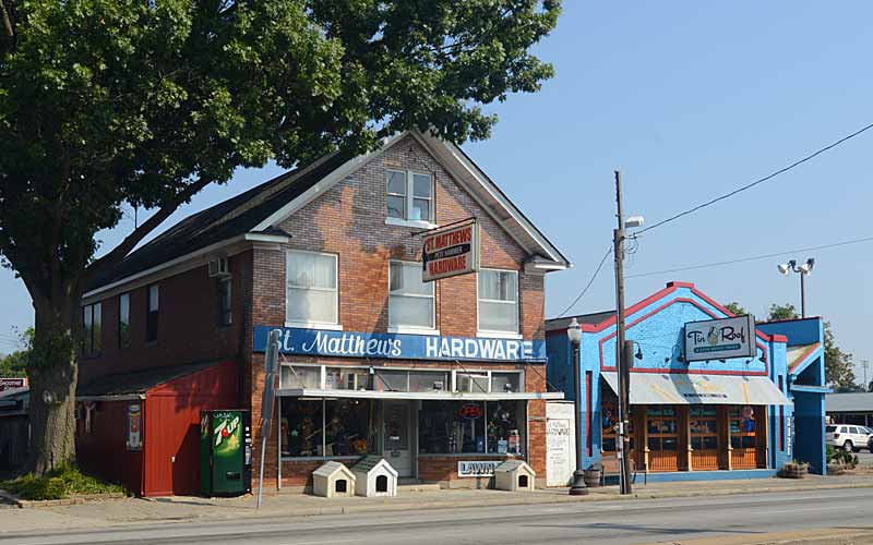
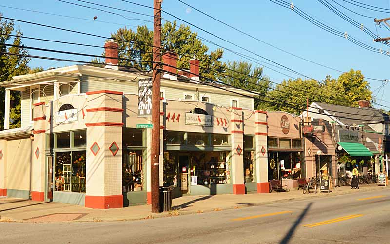
Heart of the original commercial district
Shelbyville Rd. @ Westport Rd.
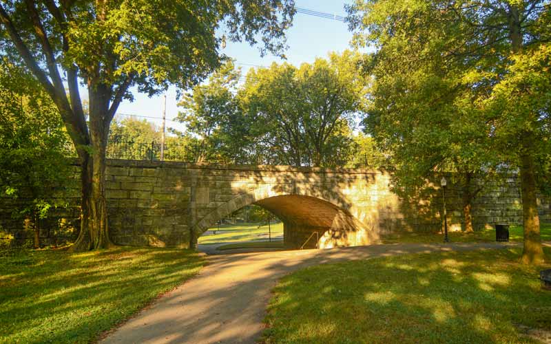
Renovated residential to commercial
Westport Rd. @ Ridgeway Ave.
Norbourne Estates
One of several cities surrounded by St. Matthews.