All Neighborhoods
All Neighborhoods
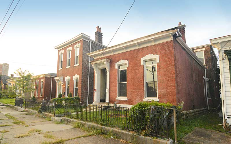
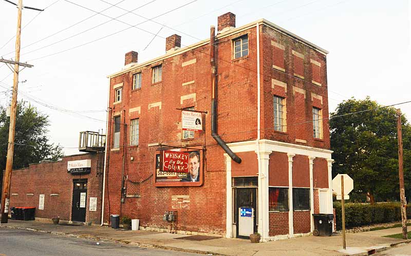
Like many older American cities, Louisville has well-defined neighborhoods, many with well over a century of history as a neighborhood. The oldest neighborhoods were areas along the river near downtown and Portland, which was originally a separate settlement, representing the early role of the river for its importance transportation and commerce. As the city grew surrounding neighborhoods like Russell, Limerick, Smoketown, Phoenix Hill, Butchertown, The Point, and others were developed to house and employ the growing population.
The arrival of the streetcar allowed suburbs to be built further out, such as Old Louisville, Beechmont, Belknap, Shawnee and the Highlands. An interurban rail line in the early 1900s led to communities east of Louisville such as Anchorage and Glenview becoming year-round homes for the wealthy.
After city/county merger in 2003, Louisville now encompasses all of Jefferson County in its Metro government. However, it still has multiple personalities.
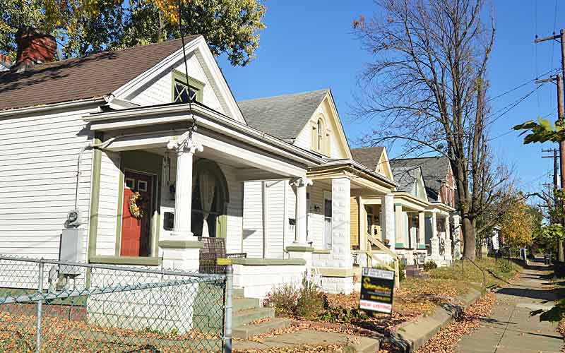
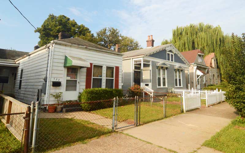
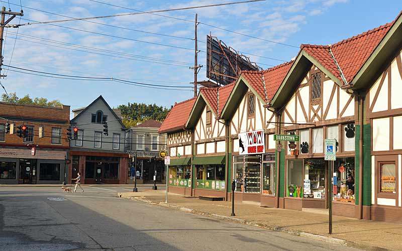
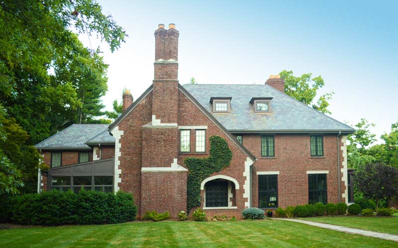
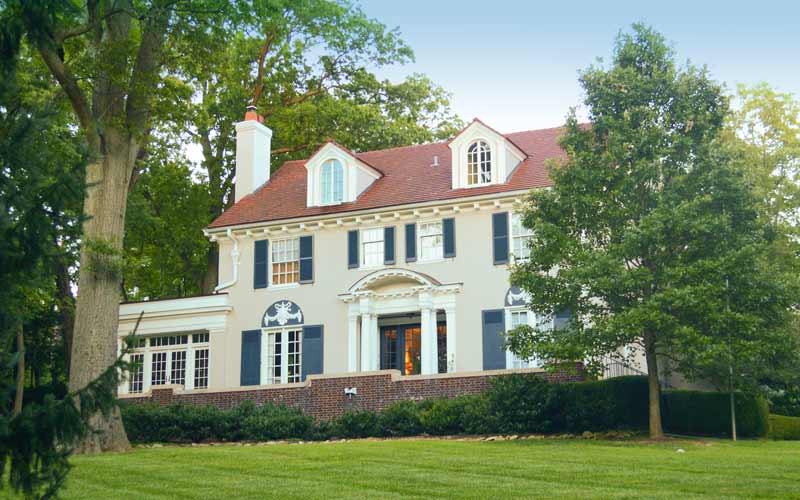
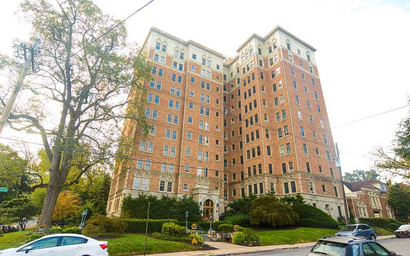
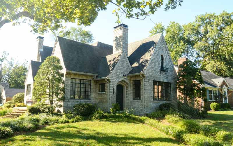
There’s the urban area within the Watterson Expressway, comprising the old city and its early suburbs. Many of its most vibrant neighborhoods never suffered “white flight”. Frankfort Ave. and all of the Highlands neighborhoods remain highly livable, with fine old Victorian houses and sturdy bungalows on shaded streets.
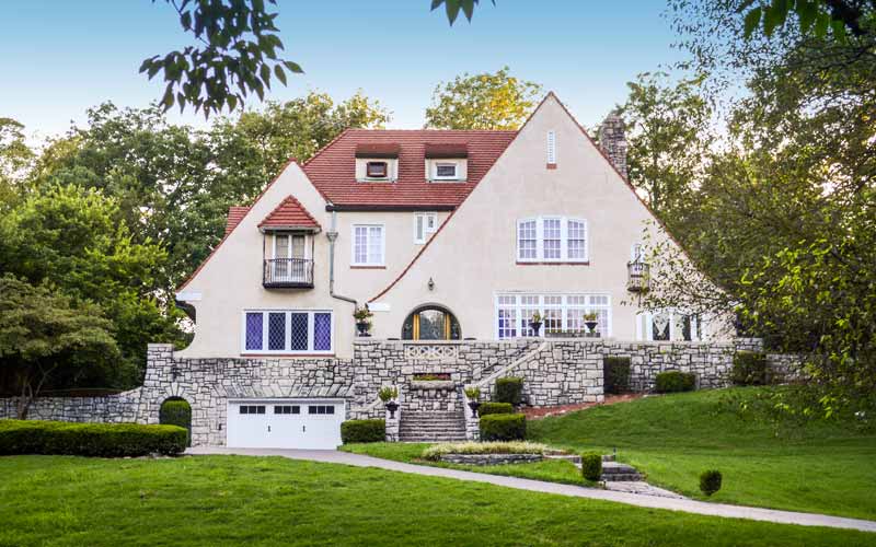
Outside the Watterson lies the modern suburbs, where you’ll find much of the city’s more expensive housing, and continued automobile spawned sprawl.
Pre-merger Neighborhoods
Algonquin
Auburndale
Audubon
Avondale-Melbourne Heights
Bashford Manor
Beechmont
Belknap
Belmar
Bon Air
Bonnycastle
Bradley
Brownsboro-Zorn
Butchertown
California
Camp Taylor
Cherokee Gardens
Cherokee-Seneca
Cherokee Triangle
Chickasaw
Clifton
Clifton Heights
Cloverleaf
Crescent Hill
Deer Park
Douglass Loop
Downtown
Edgewood
Gardiner Lane
Germantown
Hallmark
Hawthorne
Hayfield Dundee
Hazelwood
Highland Park – Defunct
Highlands
Hikes Point
Irish Hill
Iroquois
Iroquois Park
Jacobs
Kenwood Hill
Klondike
Limerick
Merriwether
Old Louisville
Original Highlands
Paristown Pointe
Park DuValle
Park Hill
Parkland
Phoenix Hill
Poplar Level
Portland
Prestonia
Rockcreek-Lexington Road
Russell
Saint Joseph
Schnitzelburg
Shawnee
Shelby Park
Smoketown
South Louisville
Southland Park
Southside
Standiford – Defunct
Taylor-Berry
Tyler Park
Wilder Park
Wyandotte (also called Oakdale)
Unincorporated Places
Ashville (Glenmary)
Avoca
Beckley (Lake Forest)
Beechland Beach
Berrytown
Bethany
Boston
Buechel
Clark Station
Eastwood
English Station
Fairdale
Fairmount
Fern Creek
Fisherville
Freys Hill (Springhurst)
Goose Creek
Greenwood (Riverport)
Griffytown
Harrods Creek
Highview
Hopewell
Hunters Trace
Johnsontown
Juniper Beach
Knopp (Knopp-Melton)
Kosmosdale
Lake Dreamland
Lake Louisvilla
Lakeland
Long Run
Longview
Meadowlawn
Medora
Newburg
O’Bannon
Okolona
Orell
Parkwood
Penile
Petersburg
Plainview
Pleasure Ridge Park
Prairie Village
Riverside Gardens
Routt
Rubbertown
Saint Dennis
Seatonville
Smyrna
South Park
Springdale
Sylvania
Thixton
Transylvania Beach
Tucker Station
Valley Downs
Valley Gardens
Valley Station
Valley Village
Waverly Hills
Whitner
Wolf Creek
Worthington
Incorporated Places
Anchorage
Audubon Park
Bancroft
Barbourmeade
Beechwood Village
Bellemeade
Bellewood
Blue Ridge Manor
Briarwood
Broeck Pointe
Brownsboro Farm
Brownsboro Village
Cambridge
Coldstream
Creekside
Crossgate
Douglass Hills
Druid Hills
Fincastle
Forest Hills
Glenview
Glenview Hills
Glenview Manor
Goose Creek
Graymoor-Devondale
Green Spring
Heritage Creek (originally Minor Lane Heights)
Hickory Hill
Hills and Dales
Hollow Creek
Hollyvilla
Houston Acres
Hurstbourne
Hurstbourne Acres
Indian Hills
Jeffersontown
Keeneland
Kingsley
Langdon Place
Lincolnshire
Lyndon
Lynnview
Manor Creek
Maryhill Estates
Meadowbrook Farm
Incorporated Places (cont.)
Meadow Vale
Meadowview Estates
Middletown
Mockingbird Valley
Moorland
Murray Hill
Norbourne Estates
Northfield
Norwood
Old Brownsboro Place
Parkway Village
Plantation
Poplar Hills
Prospect
Richlawn
Riverwood
Rolling Fields
Rolling Hills
St. Matthews
Broad Fields
Cherrywood Village
Fairmeade
Plymouth Village
Springlee
St. Regis Park
Seneca Gardens
Shively
Spring Mill
Spring Valley
Strathmoor Manor
Strathmoor Village
Sycamore
Ten Broeck
Thornhill
Watterson Park
Wellington
West Buechel
Westwood
Whipps Millgate
Wildwood
Windy Hills
Woodland Hills
Woodlawn Park
Worthington Hills
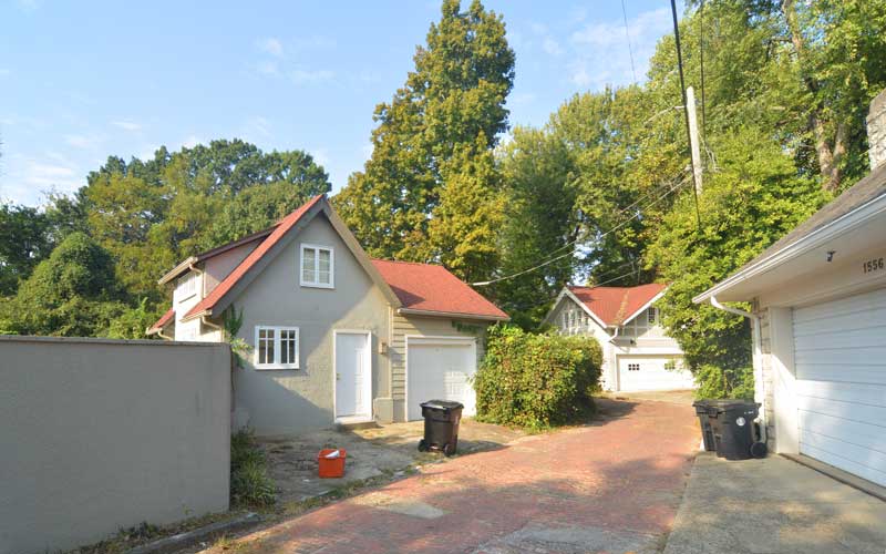
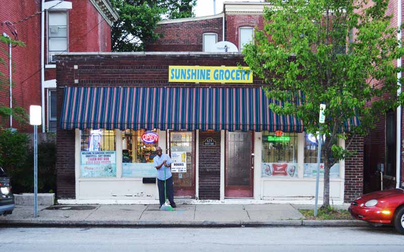
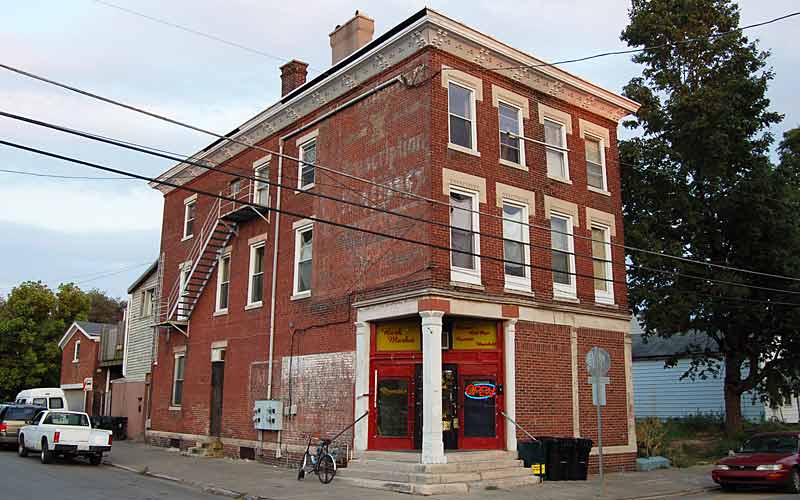
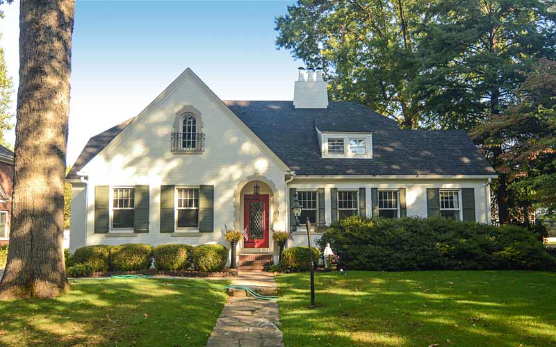
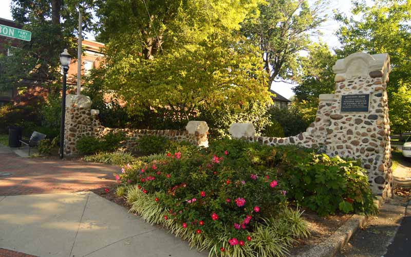
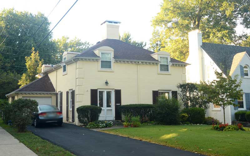
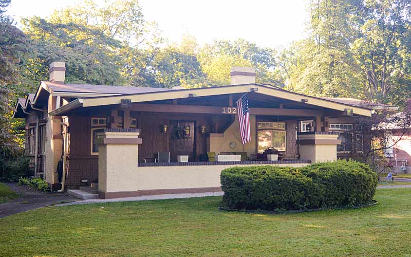
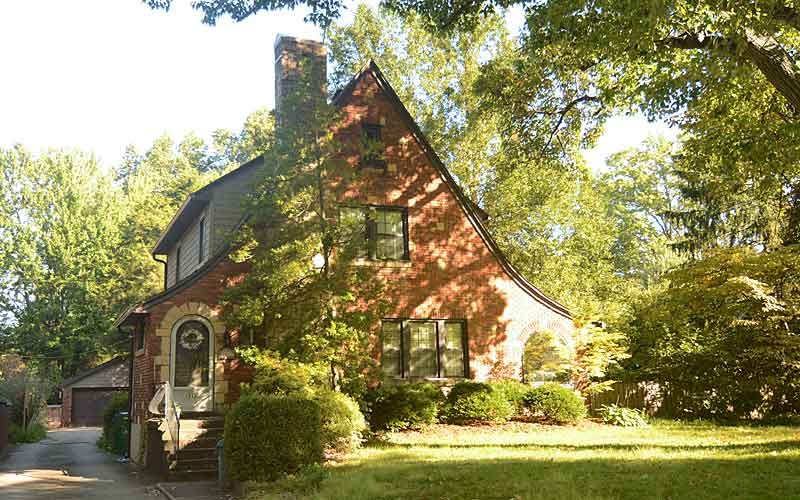
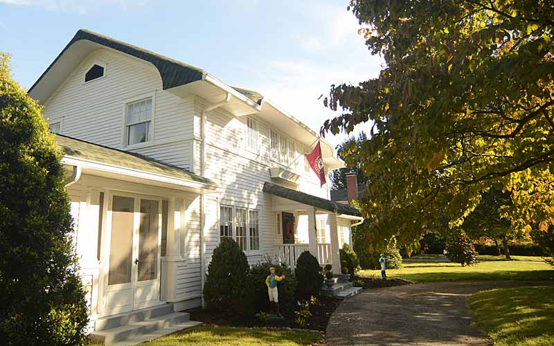
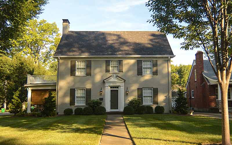
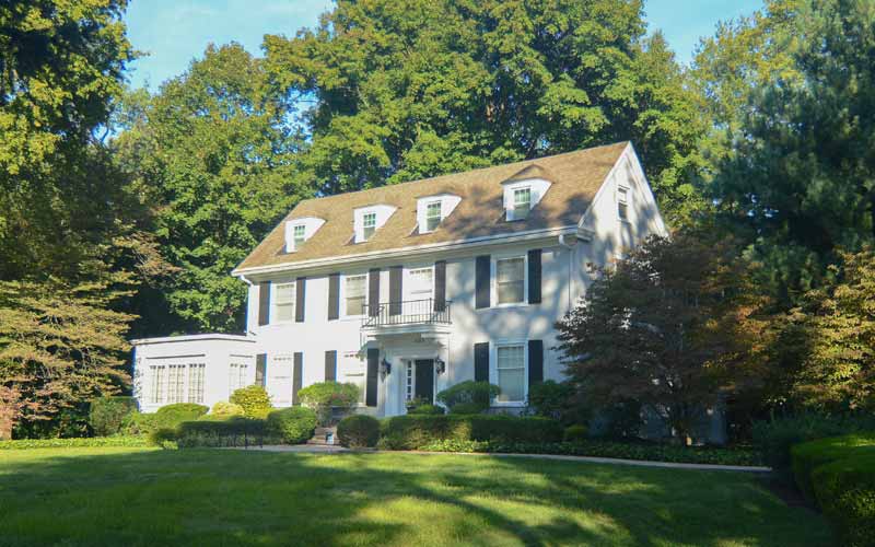
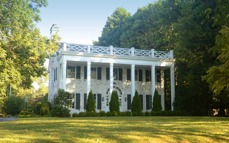
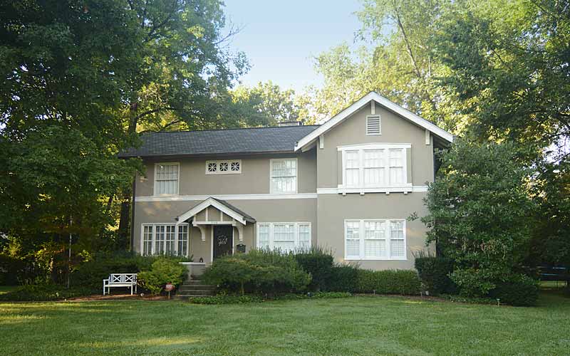
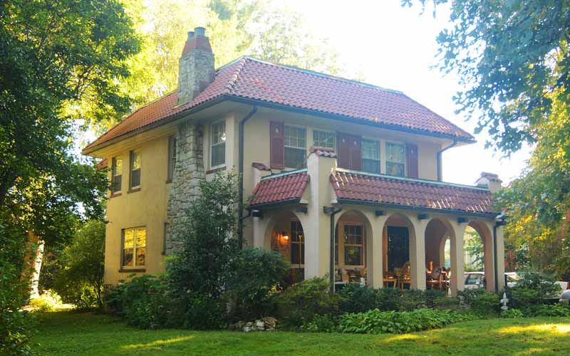
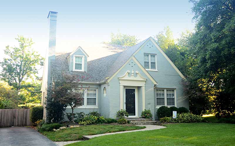
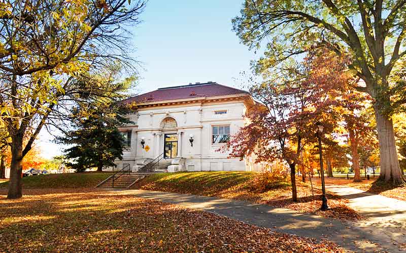
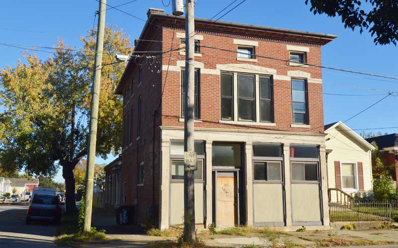
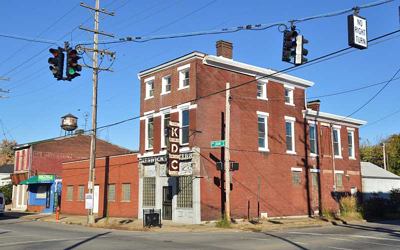
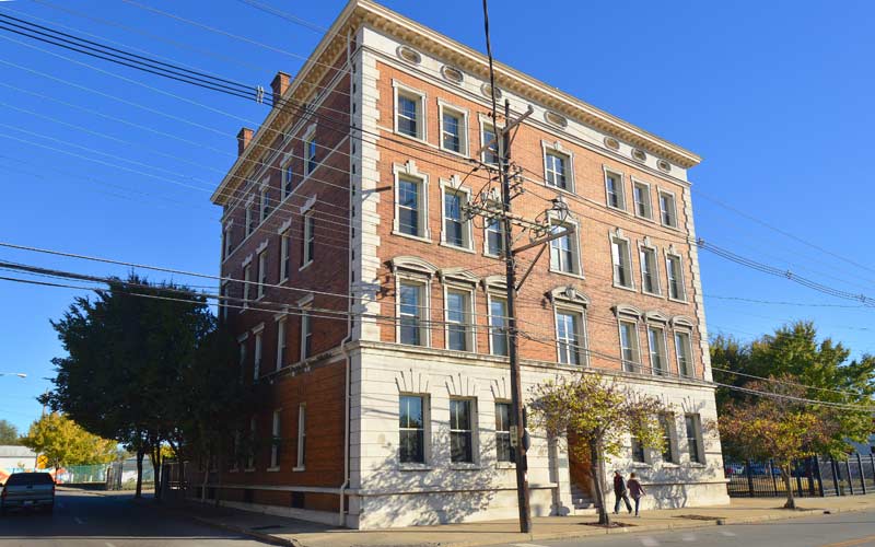
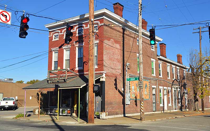
GALLERY
Strathmoor Village
Incorporated in 1928.