Audubon Park
Audubon Park
In 1906, 750 acres of the land was sold, and 150 acres was leased for development of the Audubon Park Country Club & Golf Course. Though not located within Audubon Park’s boundaries, the development of the golf course influenced the development of Audubon Park. In 1917, the federal government purchased 420 acres for Camp Zachary Taylor towards the S.E., leaving Audubon Park with 230 acres.
Five parks were developed as part of the original landscape plan. In homage to the naming of the city after naturalist and bird artist John James Audubon, all but two of the city’s twenty streets were given the name of birds.
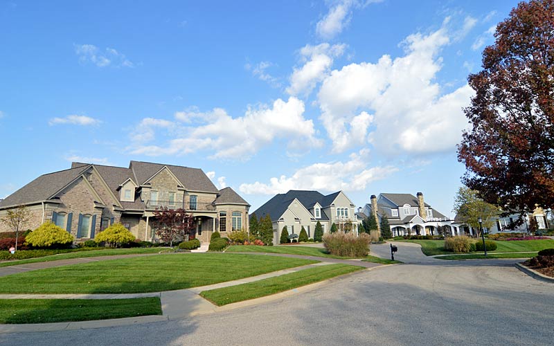
The development of Audubon Park was considered a move toward “democratic architecture” which espoused socially conscious development, promoting health and welfare, along with a more natural environment, through careful planning and deed restriction’s to ensure a uniform appearance in setbacks and green spaces.
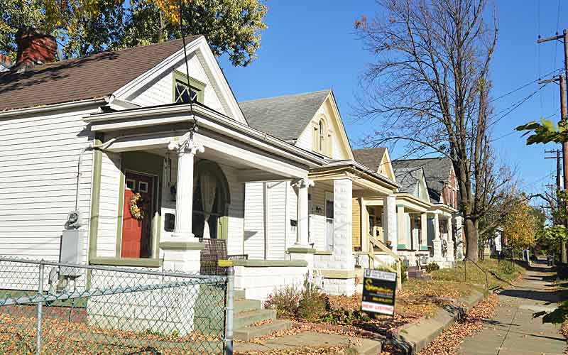
Audubon Park was promoted for its amenities: modern public utilities, along with fresh air and green space. The area’s higher elevation was another selling point to residents of flood-prone Louisville. Homes with more simple, less pretentious plans unlike Victorian-era styles were promoted.
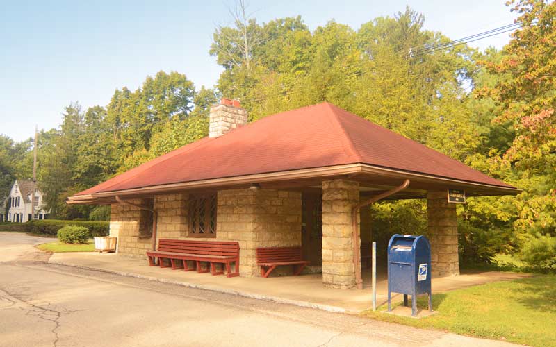
The Interurban commuter rail system added the Okolona route in 1905, which ran from 4th and Jefferson Sts. downtown, through Audubon Park, and on out Preston Hwy. A stop was added to the line at Chickadee and Dove Roads.
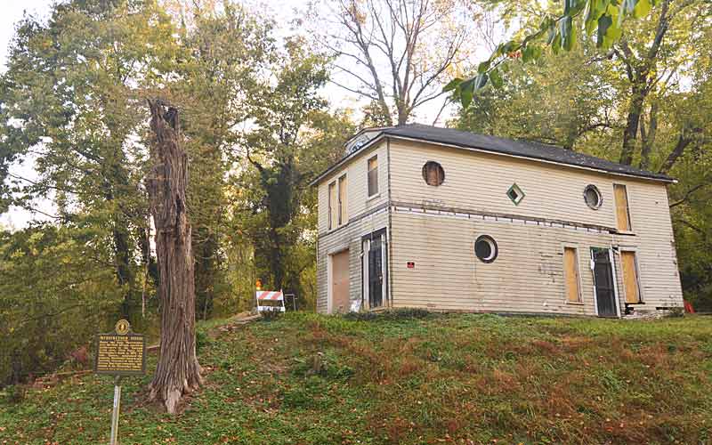
The popularity of the automobile in the 1920’s led to the end of the Interurban in 1933, and the Interurban station became a single family dwelling and is located at 3218 Chickadee Rd. The last of the track was removed when sewers were installed in 1975.
The Audubon Park Garden Club, established in 1929, had a major role in the conservation of the parks and green spaces, promoting tree planting, and creating a natural environment for birds.
The City of Audubon Park was established in 1941.
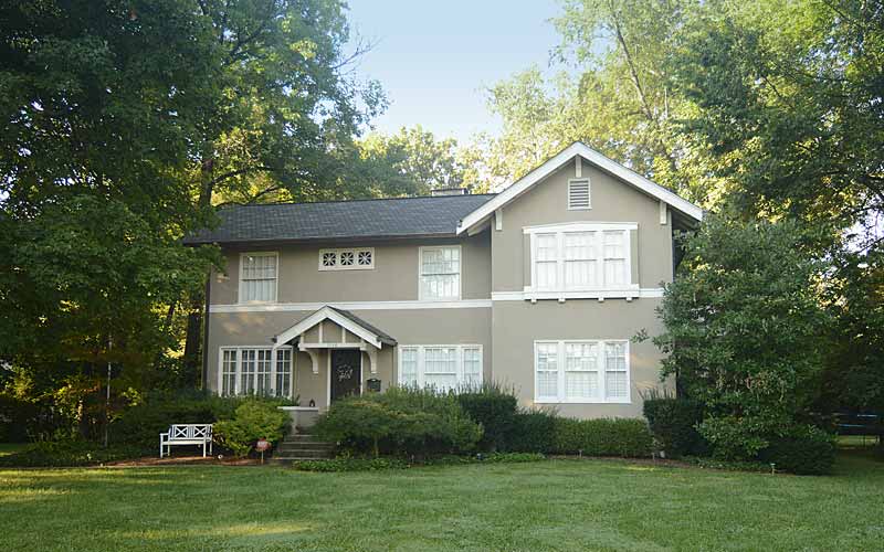
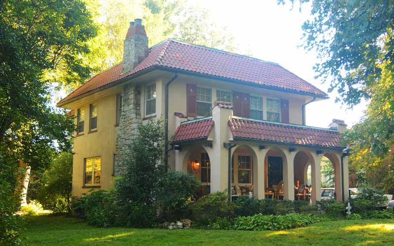
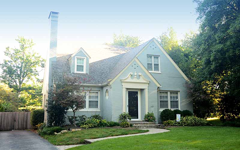
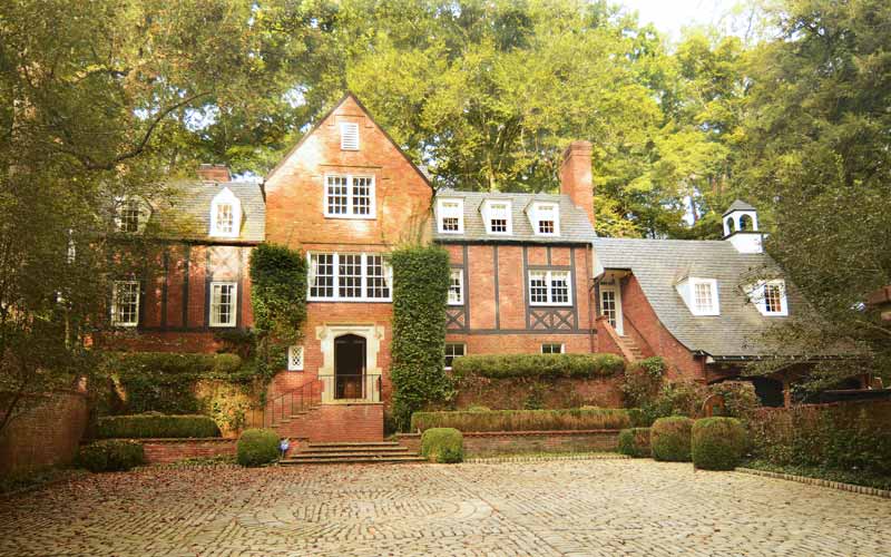
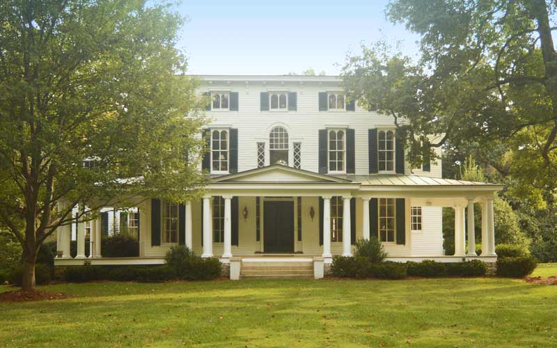
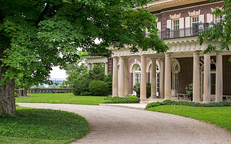
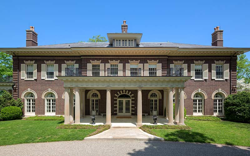
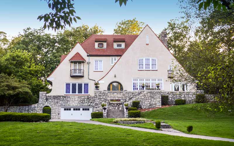
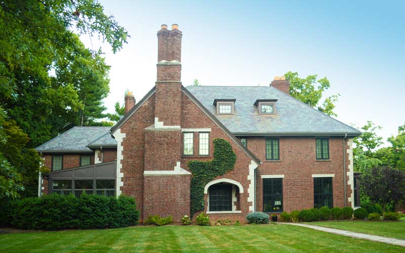
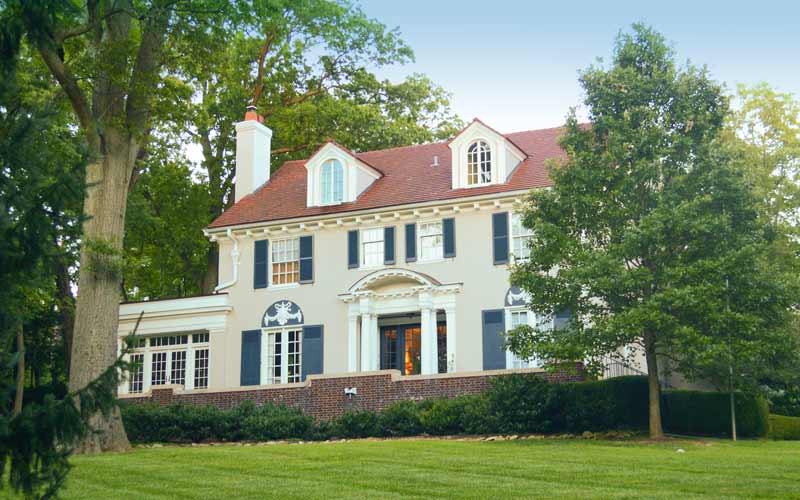
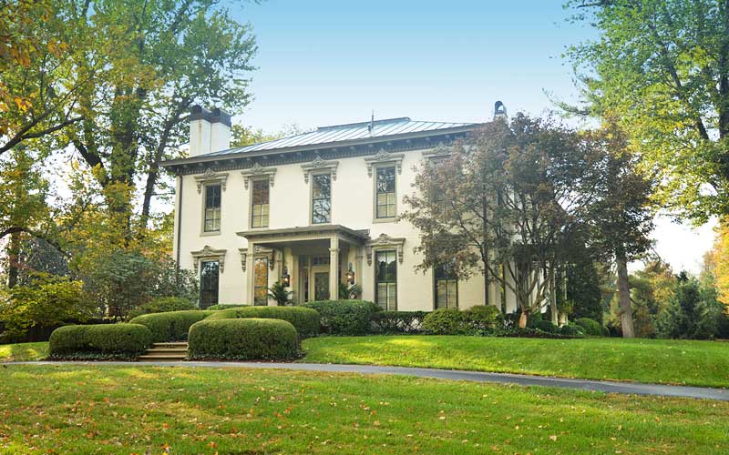
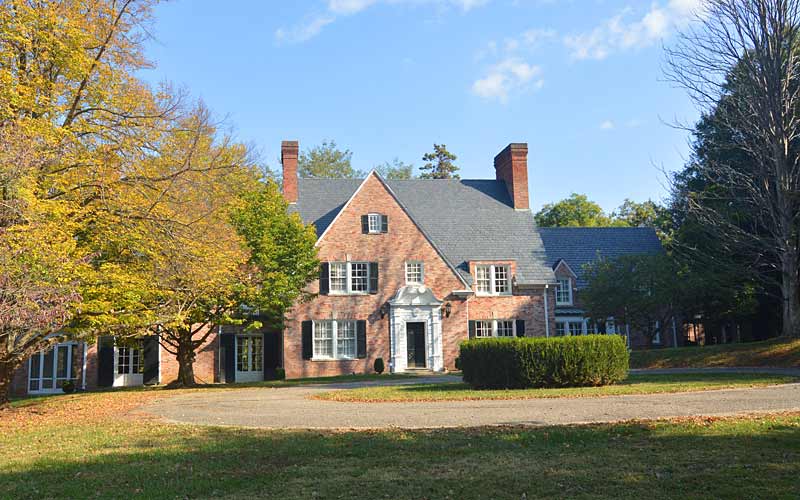
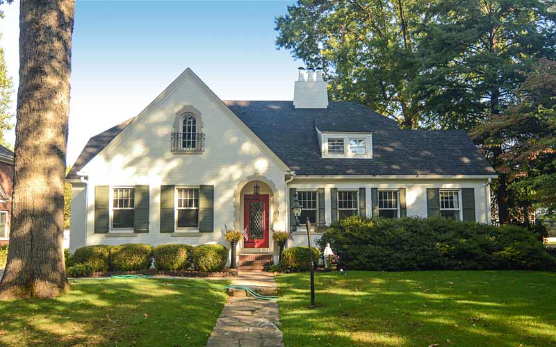
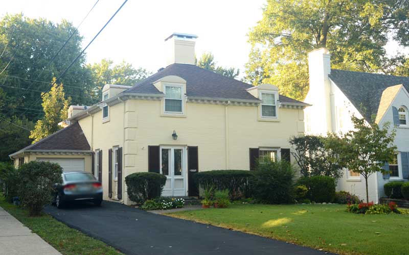
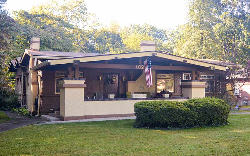
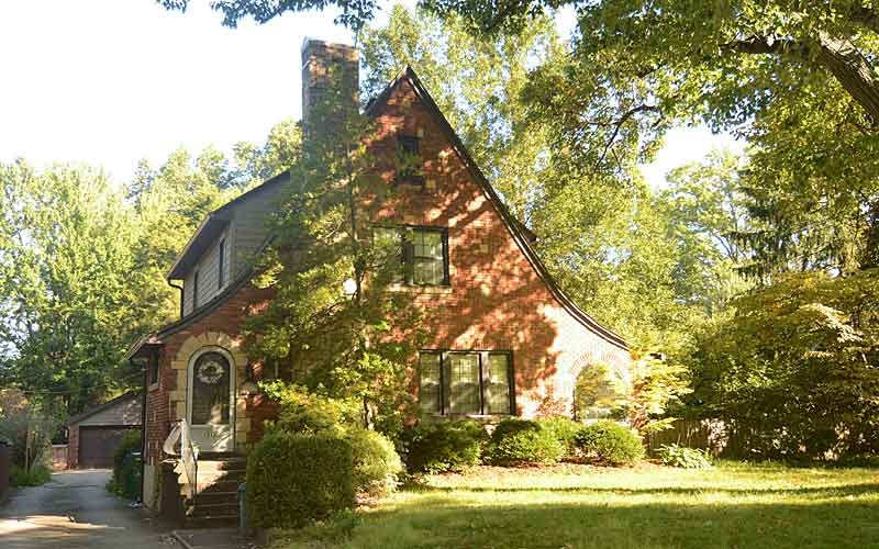
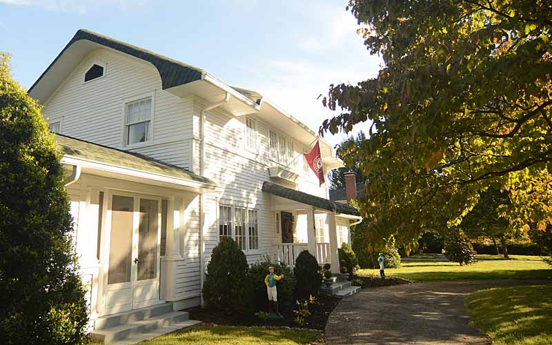
Early building styles included bungalow and Craftsman homes, followed in the 1920-30’s by Tudor Revival and Colonial Revival. After WWII, Cape Cod and Colonial styles became popular.
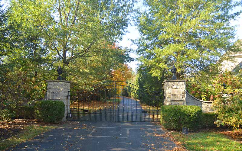
Three massive stone ‘signature entrances’ gateways emphasized the enclave. Two of the original entrances still exist, one at Preston Hwy at Audubon Pky, and one at Oriole at Hess Ln. The third at Poplar Level Rd. was demolished during street widening in the 1960s.
Added to the National Register of Historic Places in 1996.
Boundaries are Hess Ln. to the north, Eagle Pass to the east, Cardinal Dr. on the south, and Preston St. to the west.
GALLERY
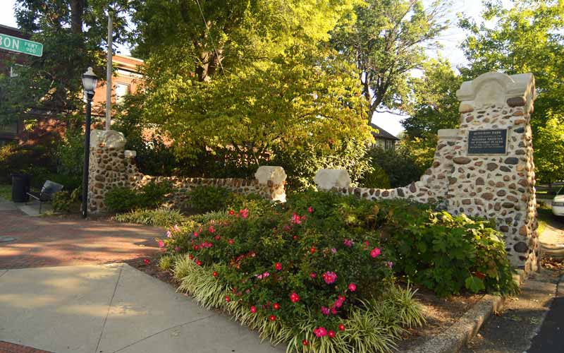
Entrance at Preston Hwy.
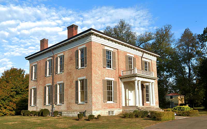
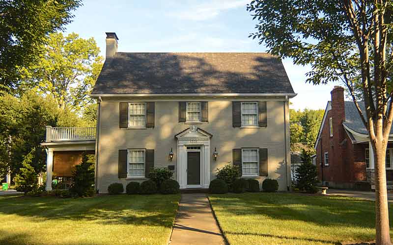
1011 Audubon Pkwy.
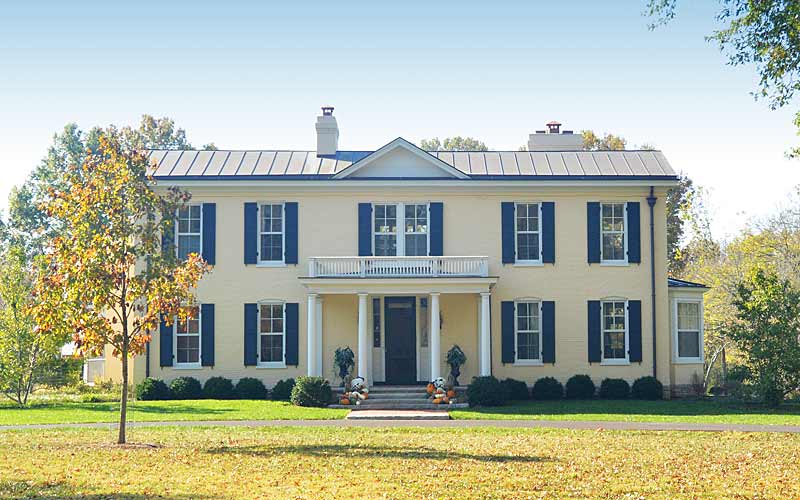
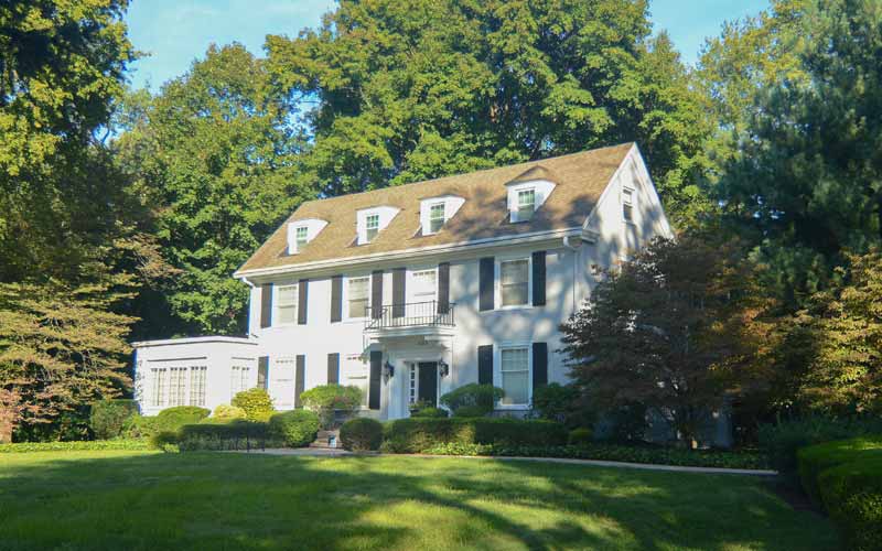
1025 Audubon Pkwy.
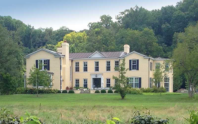
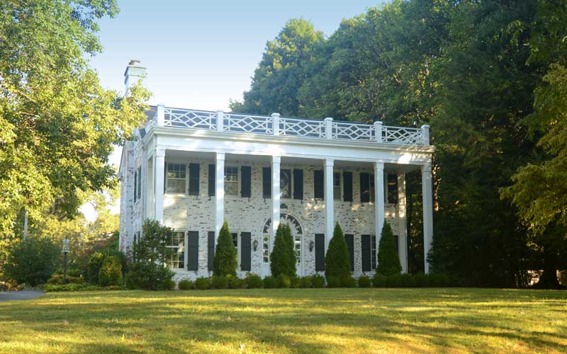
1213 Audubon Pkwy.
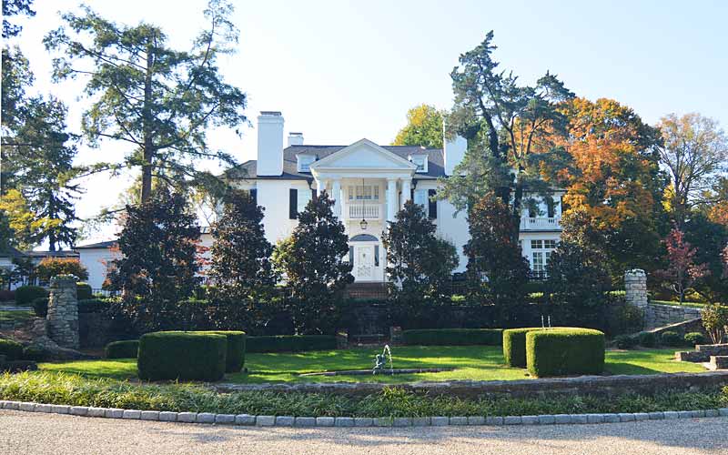
1102 Audubon Pkwy.
1301 Audubon Pkwy.
1133 Cardinal Dr.
1116 Cardinal Dr.