Deer Park

Deer Park

Deer Park

Deer Park

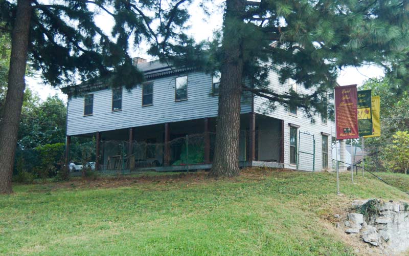
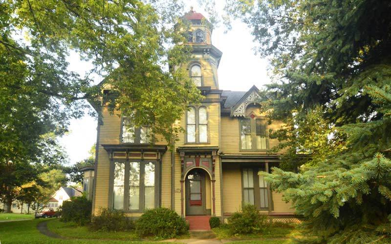
Aneighborhood landmark is the Bullock-Clifton House, a former farmhouse at the corner of Richmond and Rosedale, built in the ‘steamboat gothic’ style in 1834.

Like many places in the U.S., most of the streets were named after the early landowners who turned into developers in the early 1900s. A section of the neighborhood is one of the city’s more densely populated areas and is a National Historic Register District.

Deer Park includes two pedestrian courts whose long rows of houses, with no conventional street, are accessed by alleys and sidewalks running through the small lots. Ivanhoe Ct. was built in 1914, and the slightly smaller Maplewood Pl. were both built during the streetcar suburb era.

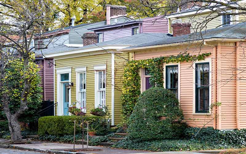
Due to the lack of geographical obstacles such as steep hills or creeks, the neighborhood developed quickly and uniformly. Shotgun houses and modest 2 story Victorians make up the majority of the stock in the oldest sections, while modest craftsmen-style houses dominate further out, along with a few small ranch style homes.

The neighborhood also has one of the last of the pre-World War II subdivisions in the area with larger houses built in various historical revival styles.

Some of the somewhat narrow east/west streets are now one-way, which is an oddity for a traditional neighborhood somewhat far from downtown.
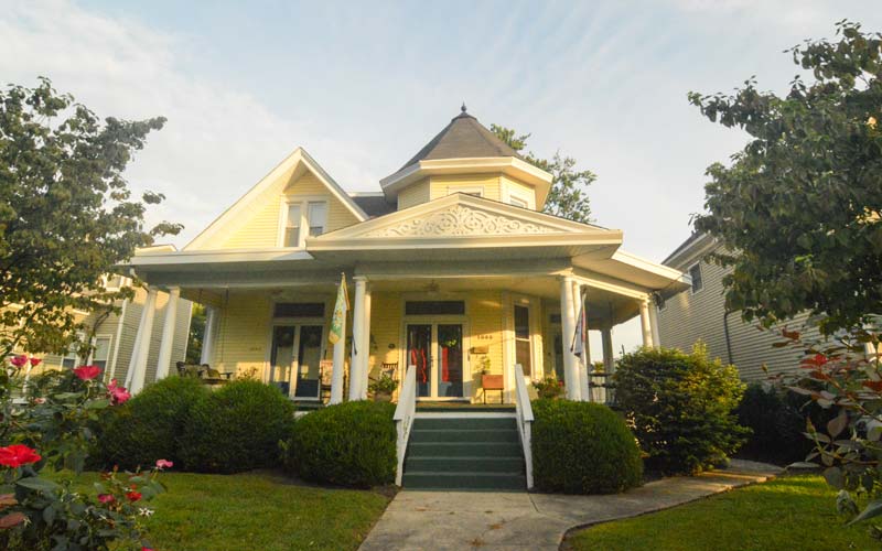
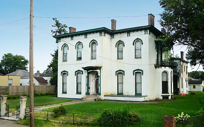
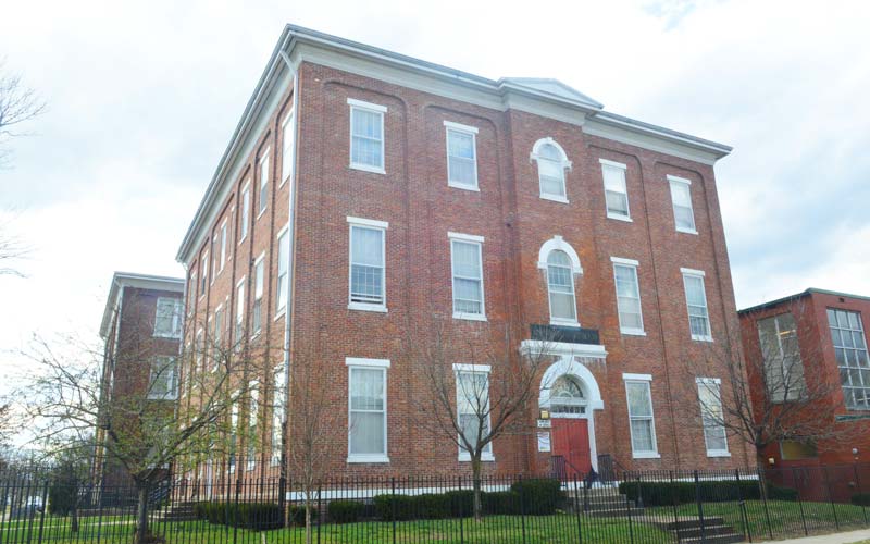
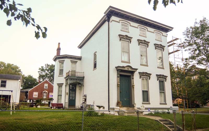
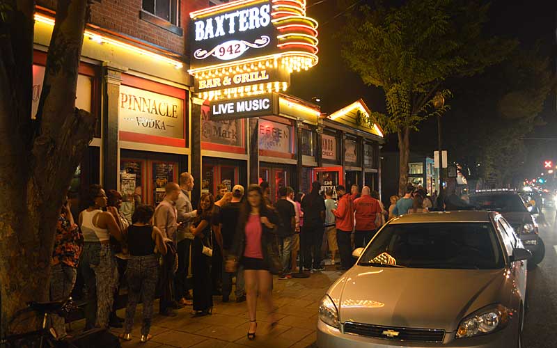
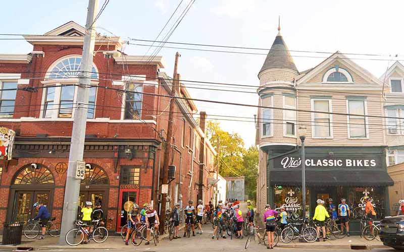
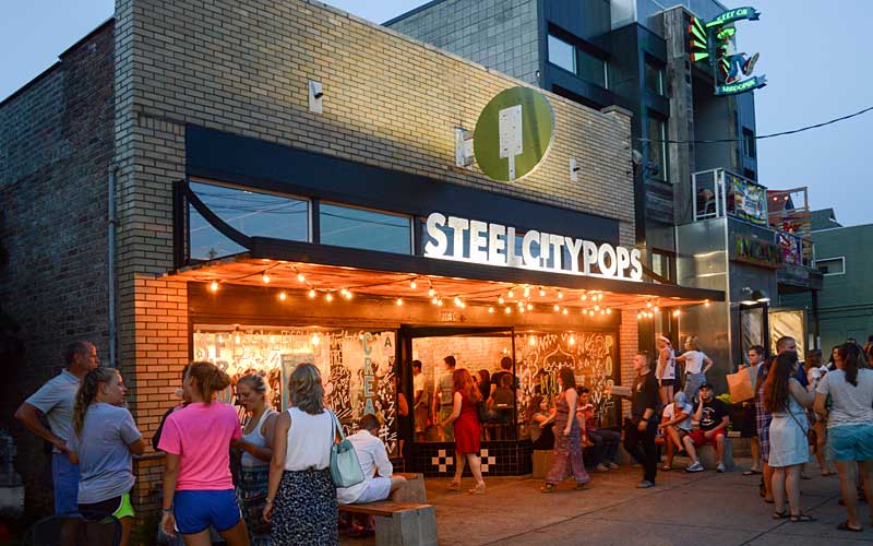
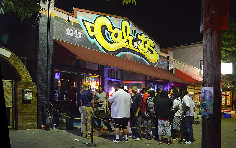
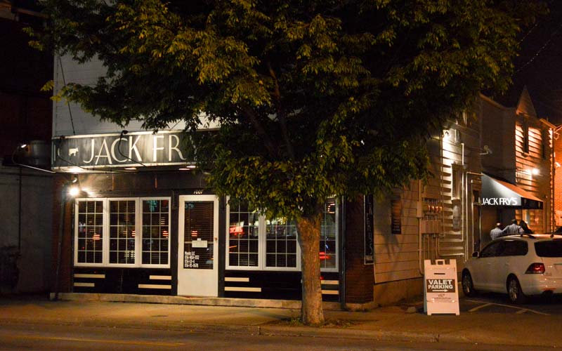
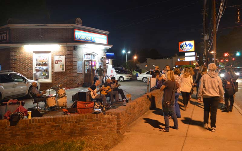
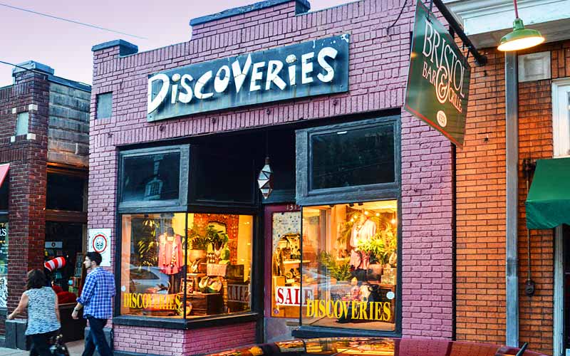
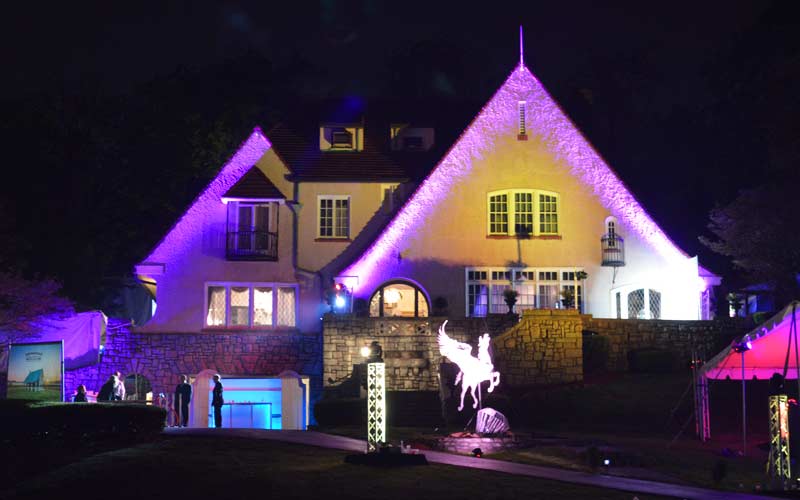
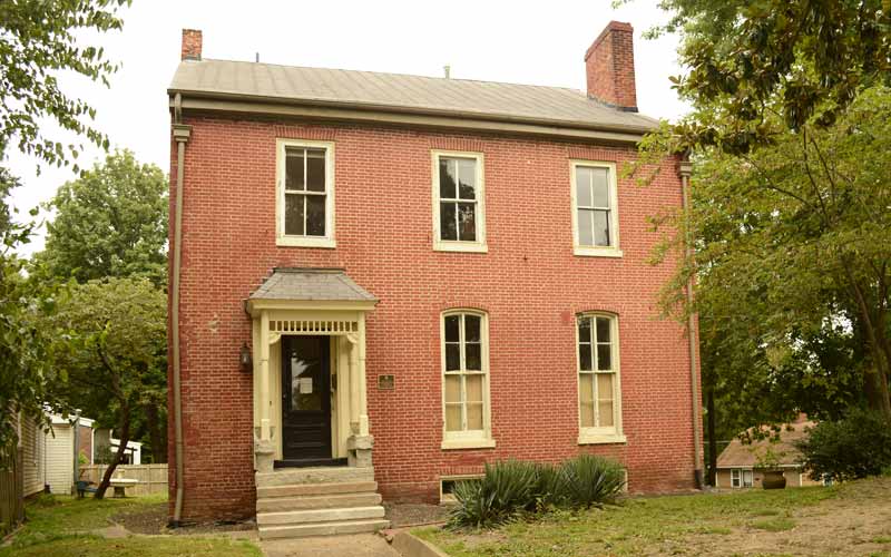
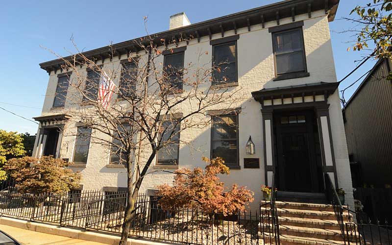
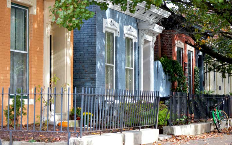
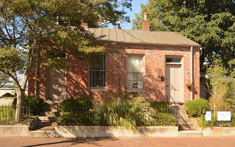
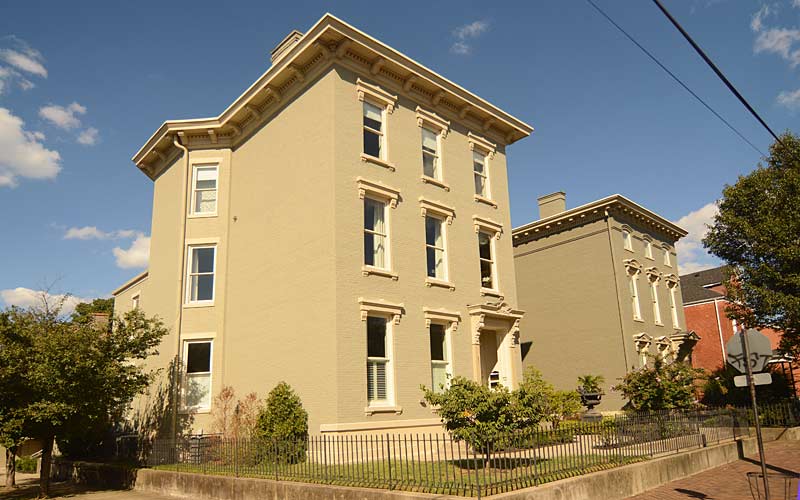
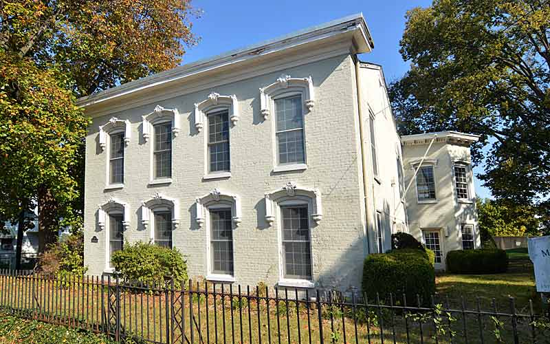
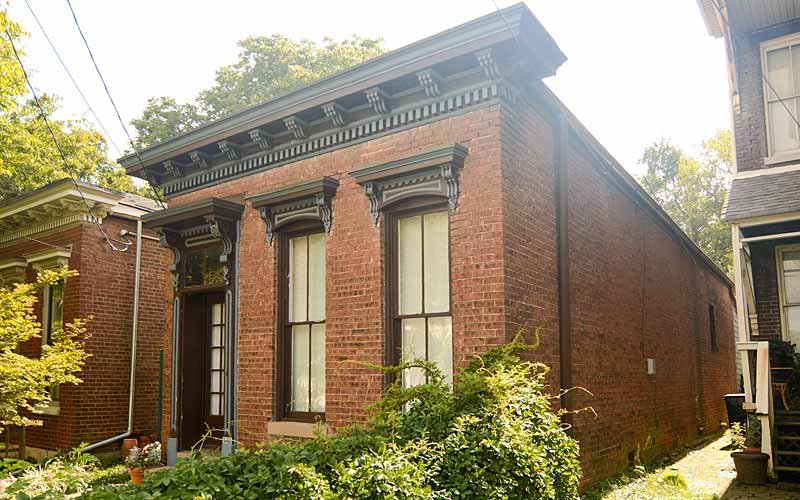
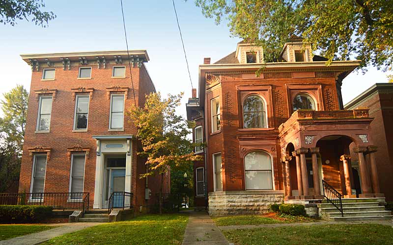
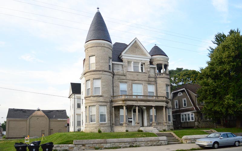
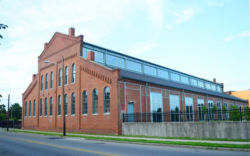
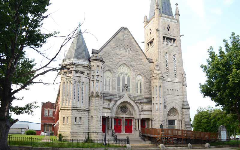
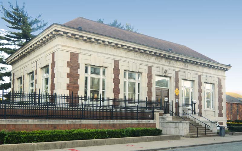
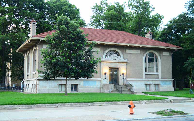
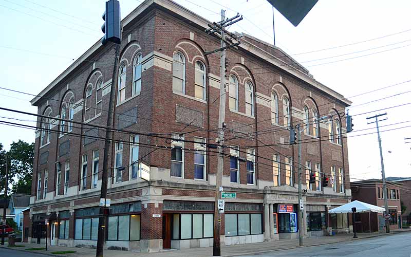
www.deerparklouisville.com

advertisment

GALLERY

Portland

Portland

Portland

Portland

Aneighborhood and former independent town northwest of downtown Louisville. Situated along a bend of the Ohio River just below the Falls of the Ohio, where the river curves to the north and then to the south, at the northwester tip of urban Louisville. In its early days it was the largest of the six major settlements at the falls, the others being Shippingport and Louisville in Kentucky, and New Albany, Clarksville, and Jeffersonville on the Indiana side.

Laid out in 1811, with a northeast to southwest street grid between what is now 36th and 33rd Street along the Ohio River, and included a large wharf. The settlement quickly grew to the east, in a northwest to southeast street grid, which noticeably contrasts to the east-west grid of adjacent areas of Louisville.

The advent of steamboats on the Mississippi occurred simultaneously with Portland’s development, allowing the Ohio River to be used as a major freight shipping route in what was then the American frontier. Portland was located just downstream from the only natural obstacle on the Ohio River, so all large boats traveling on the Ohio had to stop to move their freight by land around the Falls and reload them on another boat. Portland’s wharf flourished with taverns, warehouses, and shipyards. By 1814 French immigrants had begun populating the town.

Portland became a rival of Louisville and the nearby settlement of Shippingport. The three were connected by a road in 1818 called the Louisville & Portland Turnpike, which became Portland Ave.

In 1830 the Louisville and Portland Canal was completed around the Falls, causing many of the warehouses and shipyards to close and shifted economic power on the Falls to nearby Louisville, although Portland continued to grow as many French and Irish immigrants moved there.

Portland continued to flourish into the 1930s when the largest Ohio River flood in recorded history occurred in 1937 and inundated all of Portland, with areas closest to the river being nearly wiped out. Plans began immediately to protect the area with a flood wall, but World War II occupied the priority of the government’s engineers. Eight years later in 1945 the second largest flood in Louisville’s history occurred. In its aftermath all areas of Portland nearest to the river were razed, including the Portland Wharf, and a gigantic flood wall was built to a height three feet above the level of the 1937 flood. Despite the loss of many of area’s oldest buildings to the floodwaters, portions of the neighborhood away from the flood wall were largely untouched by urban renewal, and retain a great number of pre-Civil War era buildings. Although many older mansions still exist in Portland, the vast majority of homes built in the area were shotgun houses.

Boundaries are the Ohio River along the northwest, north, and northeast, 10th St. on the east, Market St. on the south, and the Shawnee Golf Course on the west.

Historic Portland

Louisville’s Lost City of Portland

advertisment

GALLERY

The Highlands

The Highlands

The Highlands

The Highlands

The mainly residential area contains the city’s highest density of restaurants, swingin’ night spots, eclectic shops, and oddity businesses. Centered along a three-mile stretch of Bardstown Rd. and Baxter Ave., it is so named because it sits on a ridge between the Beargrass Creek’s Middle Fork, which runs through Cherokee Park, and the South Fork, which divides Germantown from the Tyler Park neighborhood.

The commercial area extends from the intersection of Baxter Ave. and Lexington Rd. in the north, to the intersection of Bardstown Road and Taylorsville Road/Trevillian Way to the south. A 1/2 mile section of nearby Barret Ave. contains similar businesses.

The former ‘streetcar suburb’ corridor thrived up until the 1960s, but as the suburbs expanded the business district fell into decline. After many older buildings had already been razed to make space for modern fast-food restaurants and drive-in banks, the Highlands Commerce Guild was organized, and in 1977 they began to address the problems, the area began to rebound commercially in the 1980s.

Because of the large collection of nightclubs and restaurants, it is known locally as “Restaurant Row”. The 900 block of Baxter Ave. is one of three late night bar districts in the city that benefit from 4 AM liquor licenses. The Highlands is the cultural center of the city.

The area’s elegant architecture attracts young professionals because of its location near downtown and other amenities such as Cherokee Park and the pedestrian-friendly shopping. Today, many of its neighborhoods have among the highest percentage of college graduates and average income in Louisville. The gentrification of the Highlands has had a spillover effect on adjacent areas, such as Germantown, Nulu, and Clifton, as they’ve developed their own shopping and nightlife districts.

Individual neighborhoods in the Highlands include the Original Highlands, Phoenix Hill (eastern 1/3 of the neighborhood), Irish Hill, Cherokee Triangle, Tyler Park, Deer Park, Bonnycastle, Highlands-Douglass, and Belknap.

The Highland’s landmarks include the Mid-City Mall, which was the city’s first indoor mall, completed in 1962; and the Barnstable-Brown Party, held at a home on Spring Dr. in the Bonnycastle neighborhood, is Louisville’s most famous Kentucky Derby party.

www.thehighlandsoflouisville.com

advertisment

GALLERY

Butchertown

Butchertown

Butchertown

Butchertown

By the late 1820s the area began taking on an urban character along the newly completed Louisville and Lexington turnpike, which today is Frankfort and Story Aves.

In the 1850s Beargrass Creek was rerouted away from downtown and through the area towards the Ohio River.

Butchering animals was banned from the city core early on, and German immigrants, many who were butchers, populated the area, dumping animal waste into the creek.

The Bourbon Stockyards, established in 1834 as a hotel for livestock producers, was the oldest continuously operating stockyard in the U.S., until it closed in 1999. In 1864 a new facility near the railroad was built at Main and Johnson Sts. which dominated the Kentucky cattle market for over a century, by the mid-1900s the market had declined as transportation changed from railroads to trucking.

The streets in the area were named after politicians in the Whig and Federalists parties and their supporters.

Butchertown was a thriving residential and industrial area for over a hundred years, though the great Ohio River flood of 1937 destroyed many of the homes, and many more homes were demolished for the construction of the Ohio River flood wall, the interstate highways, and the expansion of industrial use on the former residential areas.

The Beargrass Creek flood pumping station, built in the 1950s at Brownsboro Rd. prevents the Ohio River from backing up into the creek during periods of high water in the Ohio River.

The remaining residential architecture in the neighborhood is diverse, most built with the city’s simple vernacular often with Eastlake details, also known as Victorian brick-a-brack, a handful of high-styled homes are randomly mixed in with modest shotguns, all on small lots. The diversity makes Butchertown unique among Louisville’s historic districts.

Just east of downtown, bounded by the I-64 to the north, Beargrass Creek and Mellwood Ave. to the east, Main St. to the south, and I-65 to the west.

Louisville Historic Preservation & Urban Design

advertisment

GALLERY

Russell

Russell

Russell

Russell

Once a blend of wealthy, working-class and poor people. By the 1830s, free blacks began buying property west of 9th St. Affluent white families built elegant mansions on Walnut, Chestnut, and Jefferson Sts. in what was once the city’s most fashionable neighborhood.

By the 1890s white families began moving towards the east end. African Americans began moving west of 21st St. after World War I. By the 1930s the neighborhood was predominantly black.

By the 1940s Russell had become “Louisville’s Harlem” as African American theaters, restaurants, and night clubs lined area streets. Following World War II many middle class blacks left for newly integrated neighborhoods in the south and east ends.

Walnut Street, now Muhammad Ali Blvd., was a mecca for black entrepreneurs and big-name entertainers who performed at the popular nightspots Top Hat Club, Charlie Moore’s, The Idle Hour and Joe’s Palm Room.

Urban renewal efforts in the 1960s had the area’s business districts razed and many public housing complexes built.

The Western Branch of the Louisville Free Public Library, at 10th St. and Chestnut, America’s first public library open to African-Americans, opened in 1908.

Immediately west of downtown and named for a local African American educator Harvey Clarence Russell Sr. who moved to the area in 1926. Boundaries are W. Market St. on the north, 9th St. on the east, W. Broadway on the south and I-264 on the west.

Courier-Journal article link

advertisment

GALLERY

Parkland

Parkland

Parkland

Parkland

The Parkland Business Preservation District was developed as the commercial hub for another one of the city’s early suburbs. In 1871, over a thousand lots were auctioned off and by the 1880s the new street grid and mule-drawn streetcars had given the area an urban character. Elegant mansions were built by affluent whites who ran the city and regulated the types of businesses allowed there to make it a more desirable place to live.

On March 27, 1890 one of the most powerful tornados in Jefferson County destroyed most of Parkland’s buildings, to survived the town agreed to be annexed by Louisville in 1894 and the area was rebuilt and expanded.

A section of the neighborhood just southwest of central Parkland was known as Little Africa, and like the other all-black neighborhoods in the city, Smoketown and California, most families lived in wooden shacks and shanties. By the early twentieth century opportunities and improvements had created better living conditions for the residents there.

By the 1950s the business district had expanded and featured everything young post World War II suburbanites needed, gas stations, department stores, a grocery, theaters, bakeries, hardware stores, a bank, and a record store.

On May 28, 1968, disaster struck again when African American civil rights activists started raced riots and Parklands’s stores were vandalized. Residents, business developers, and city officials have tried to revitalize the business district, which is surrounded by a National Register District of over four hundred residences.

Its boundaries are W. Broadway on the north, 26th St. on the east, Woodland Ave. on the south, and 34th St. on the west.

Louisville Historic Preservation & Urban Design

advertisment

GALLERY