Jeffersonville / Clarksville, Indiana
Jeffersonville / Clarksville, Indiana
Located across the Ohio River from Louisville in southern Indiana are two original settlements at the Falls of the Ohio, a third settlement New Albany is down river from the falls.
Jeffersonville Main Street, Inc.
Howard Steamboat Museum
Falls of the Ohio State Park
Indiana Historical Society
GALLERY
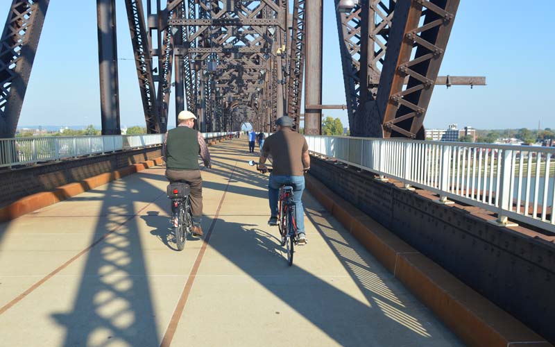
Bicycling to S. Indiana
Big Four Bridge

318 W. Market St.
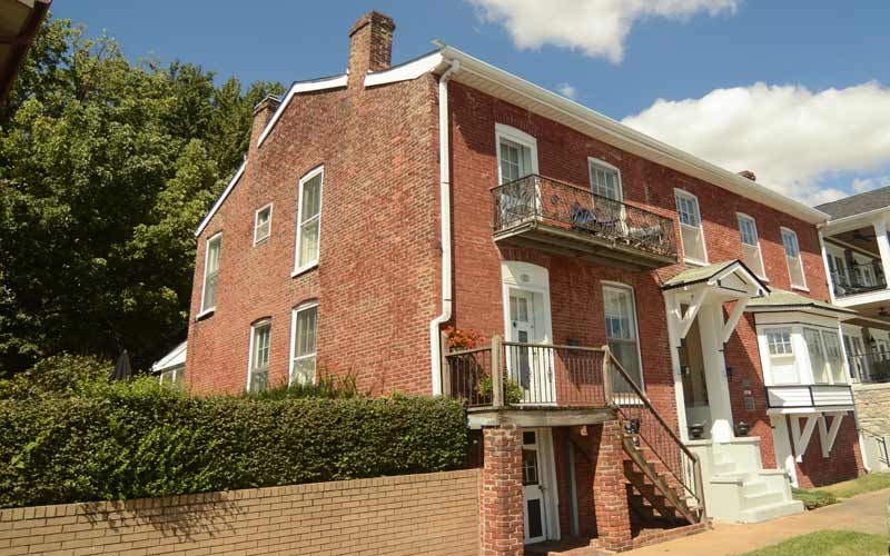
W. Riverside Dr.
Ohio River Scenic Byway
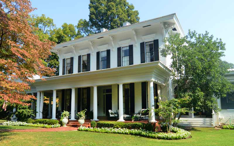
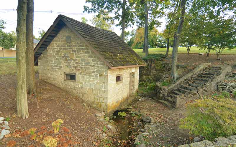
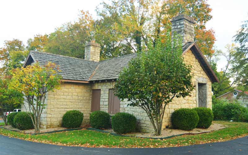
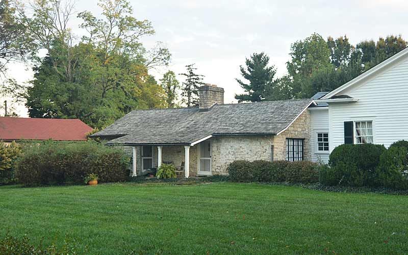
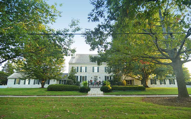
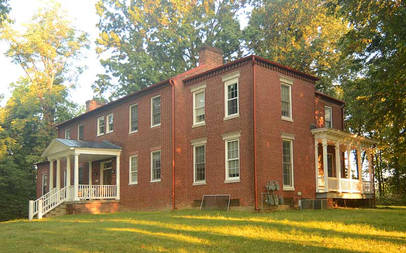
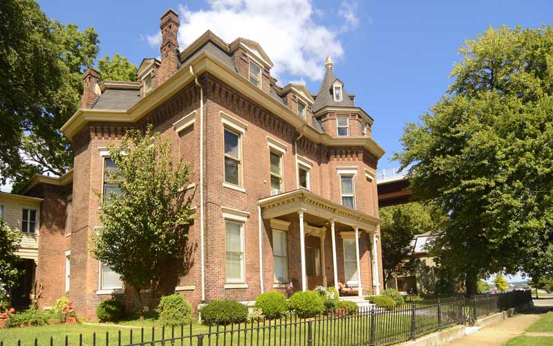
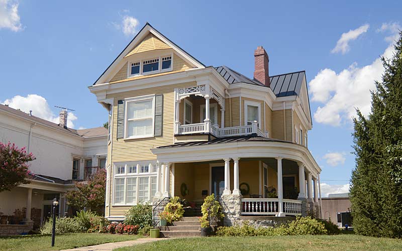
Early riverfront home
E. Riverside Dr.
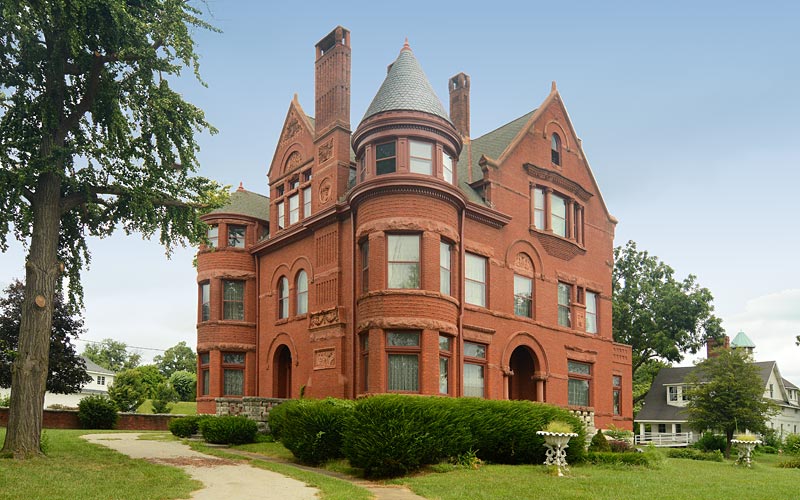
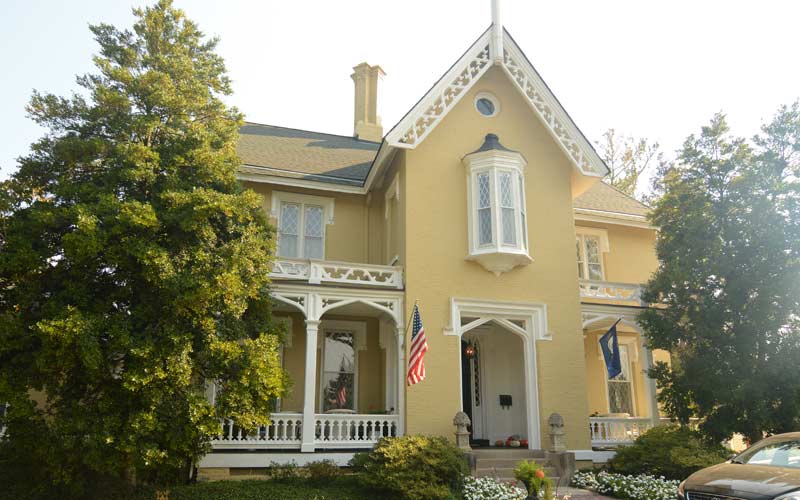
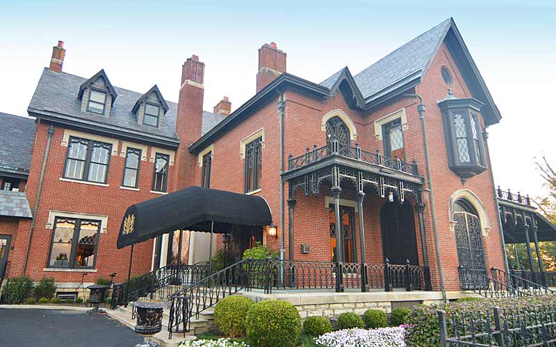
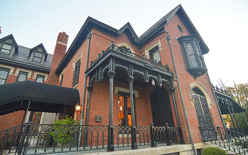
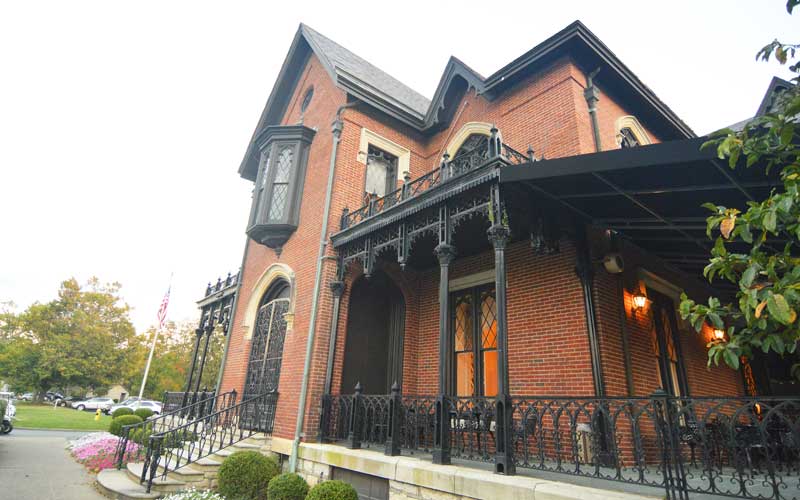
Howard Steamboat Museum
Circa 1894. 1101 East Market St.
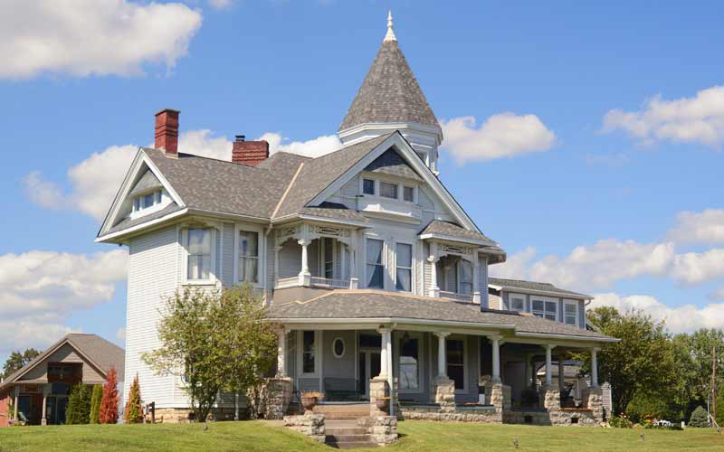
Steamboat Gothic architecture
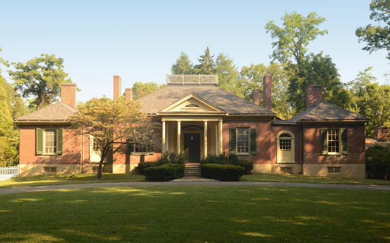
Overlooking Ohio River on Utica Pike
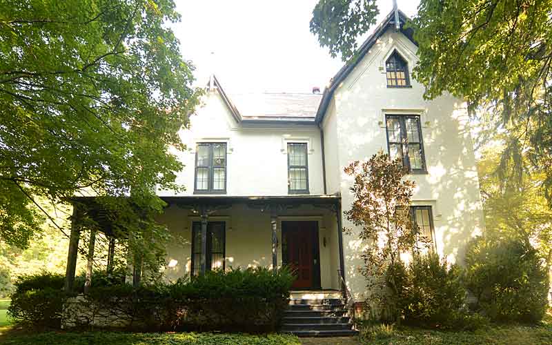
E. Riverside Dr.
Jeffersonville waterfront.
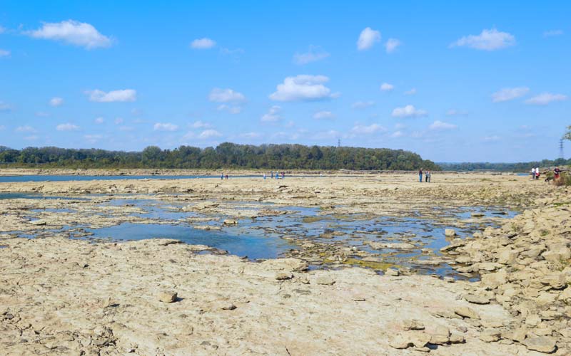
Falls Of The Ohio
390 million year old fossil beds are among the largest, naturally exposed, Devonian-era fossil beds in the world.