Germantown-Paristowne Point
Germantown-Paristowne Point
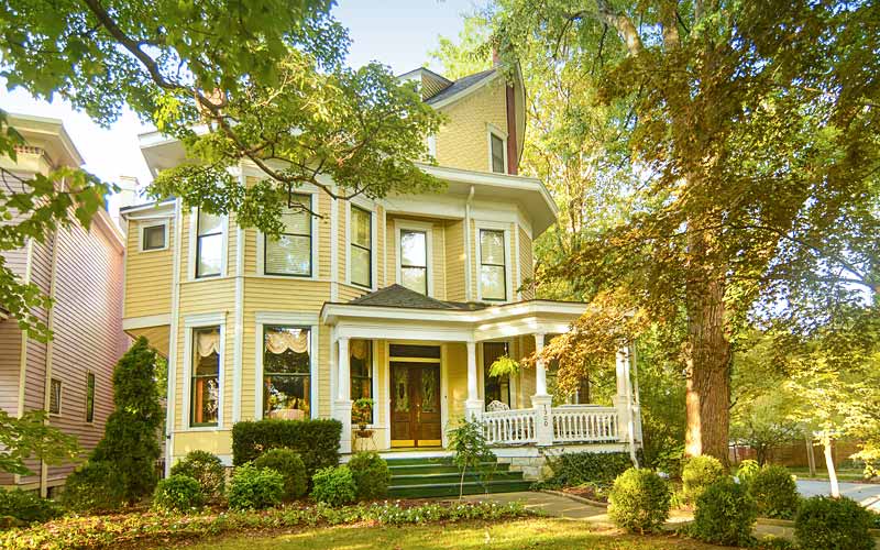
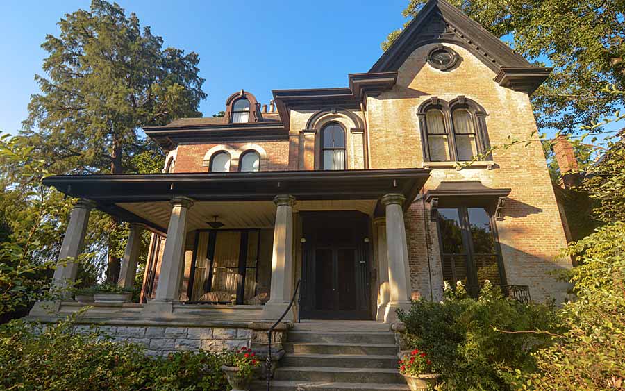
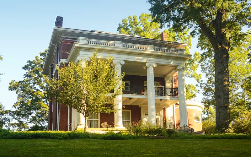
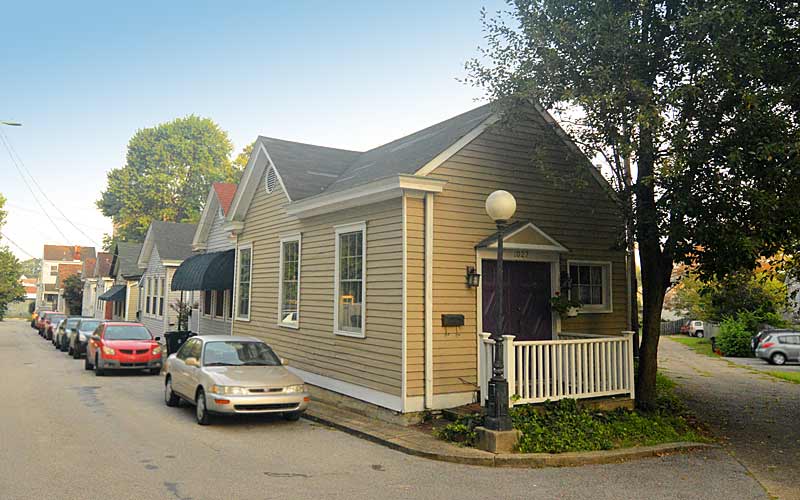
The area was subdivided and developed heavily during the 1890s, the era when most of Louisville’s shotgun houses were built. Germantown has one of the largest collections of well preserved shotguns in the U.S.
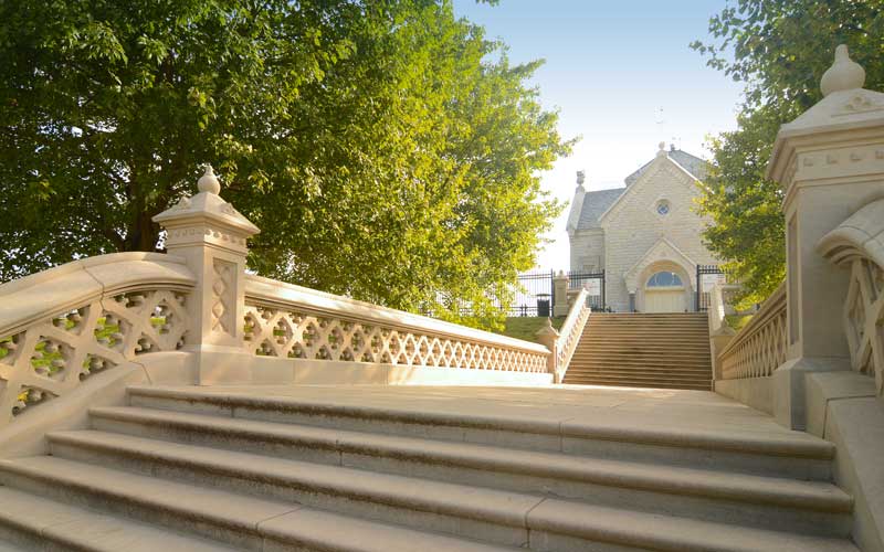
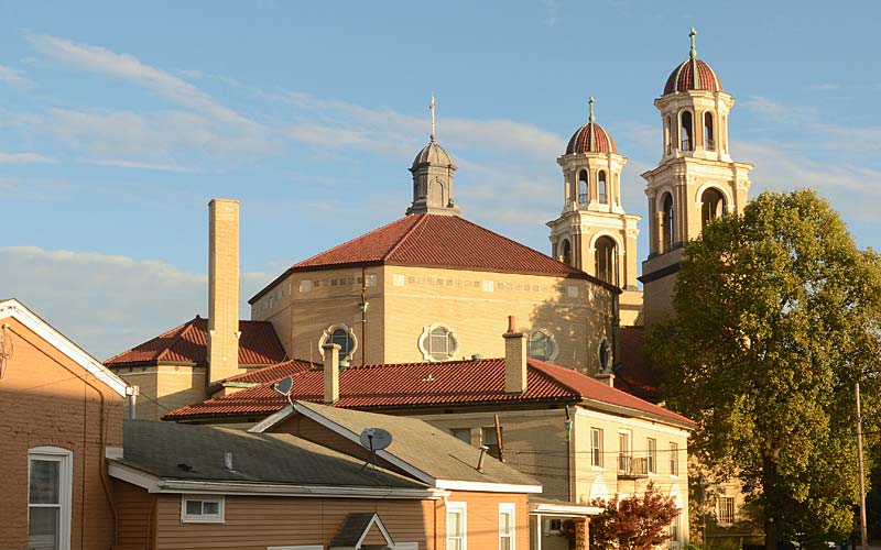
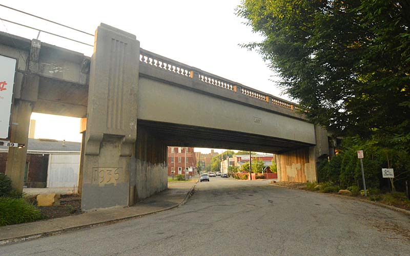
In 1907, a bridge was built across the South Fork of Beargrass Creek which allowed French settlers living north of the creek, in an area called Paristown, to attend the one Catholic church in the area. Because of connection to their neighbor the German-Paristown Neighborhood Association was founded in 1973, making it among one of Louisville’s oldest neighborhood associations.
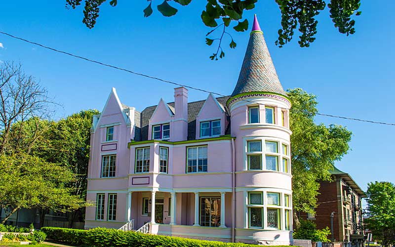
Today, the neighborhood is undergoing a transition to a younger, more educated demographic. Homes are being renovated and a new generation of bars and restaurants have brought renewed vitality to the Goss Ave. business corridor.
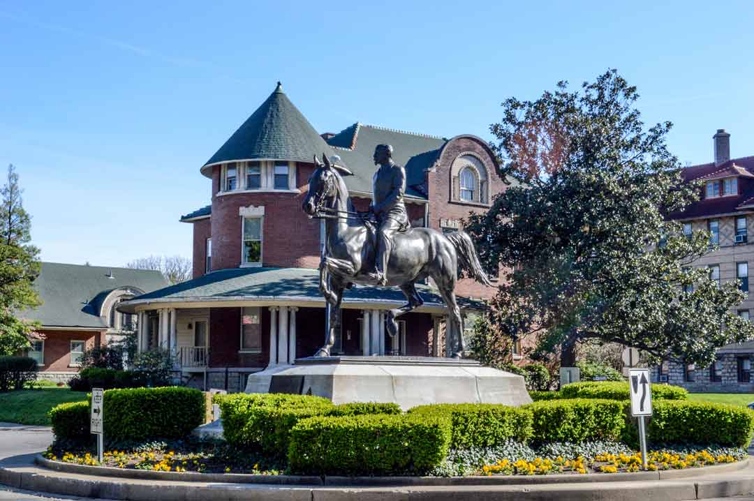
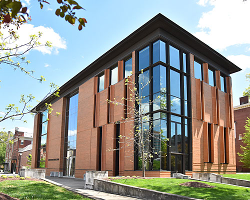
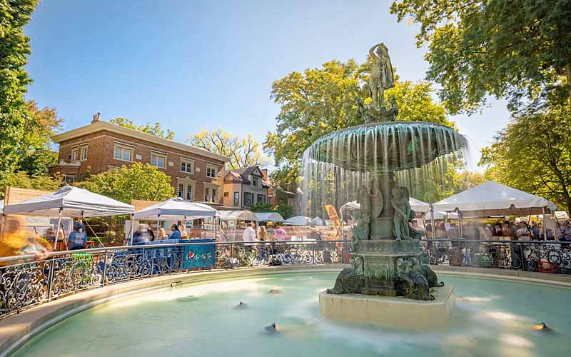
A major new arts and entertainment district in Paristown opened near Broadway in 2018.
Germantown is bounded by Kentucky St. on the north, Barrett Ave, St. Michaels Cemetery, and the South Fork of Beargrass Creek on the east, Eastern Pkwy. & Goss Ave. on the south, and Logan St. on the west.
Paristown Pointe is bounded by Broadway on the north, Barret Ave. on the east, Kentucky St. on the south and the South Fork of the Beargrass Creek on the west.
GALLERY
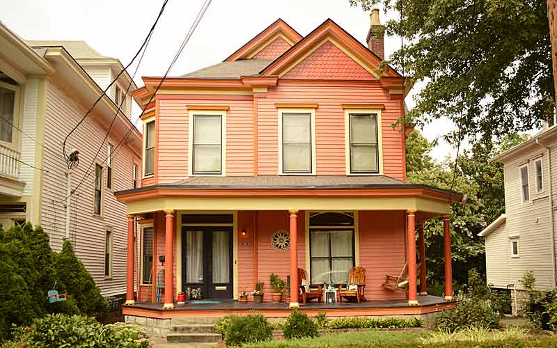
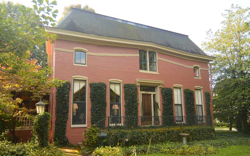
Germantown
Barrett Ave. near Ellison Ave.
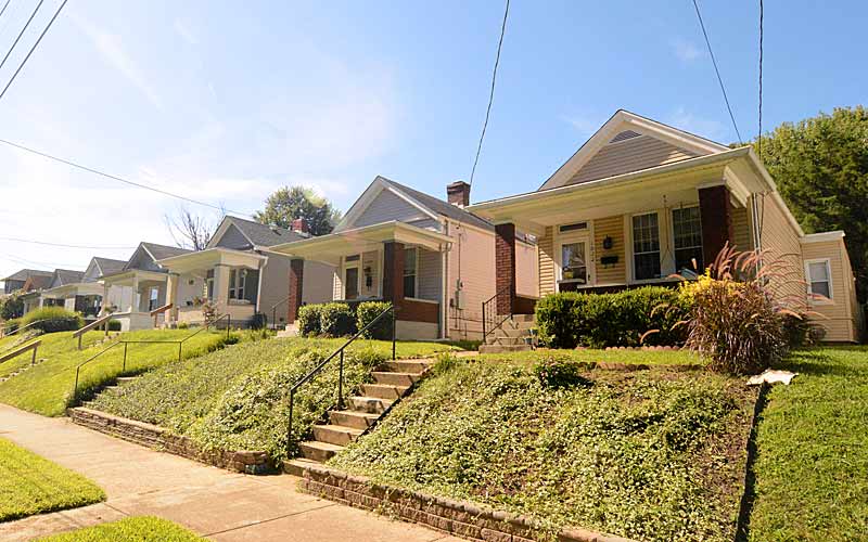
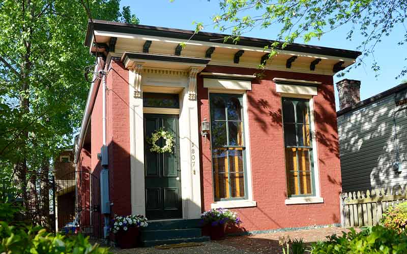
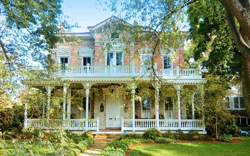
Germantown
Ellison Ave.
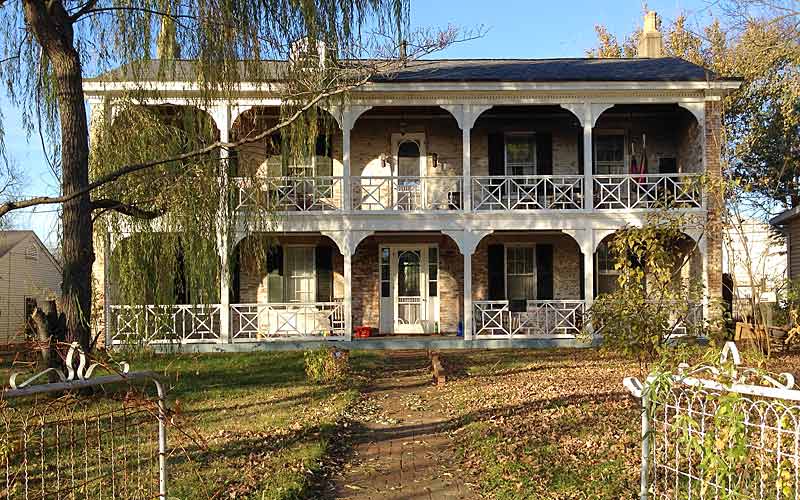
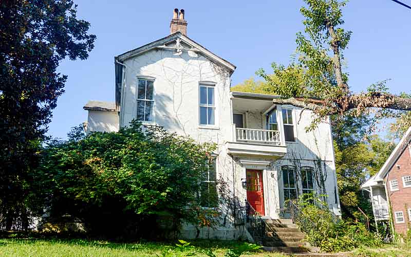
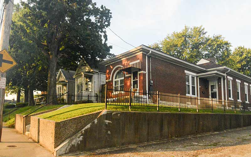
Paristowne Point
Brent St. looking north.
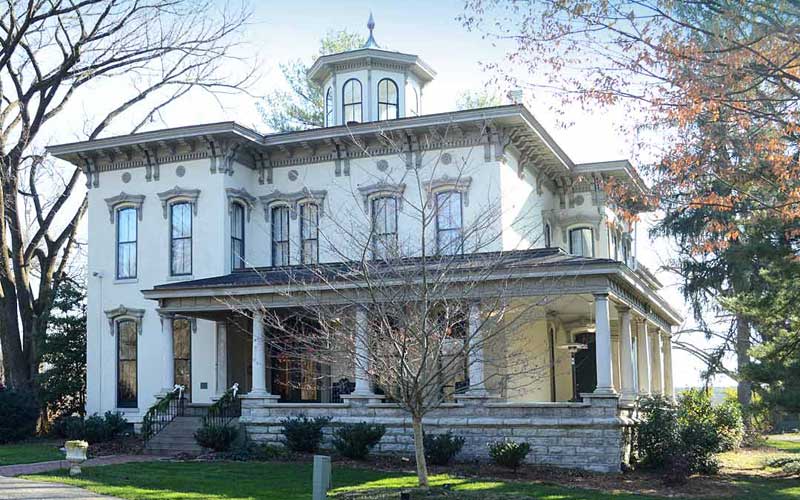
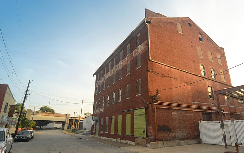
Paristowne Point
Brent St. looking south.
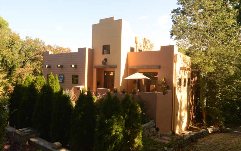
Paristowne Point
Lampton Alley @ Goullon Ct.