Downtown
Downtown
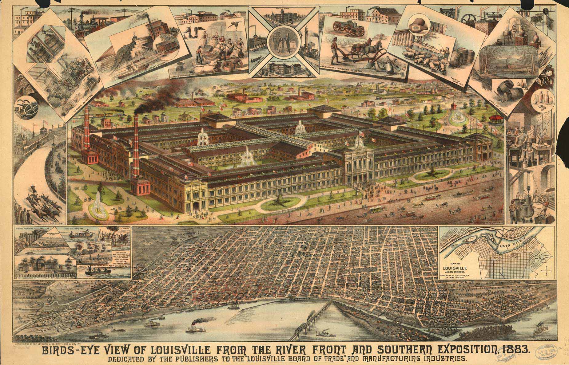
Named after King Louis XVI of France and founded in 1778 by George Rogers Clark, it is one of the oldest cities west of the Appalachians. With nearby Falls of the Ohio as the only major obstruction to river traffic between the upper Ohio River and the Gulf of Mexico, the settlement first grew as a portage site.
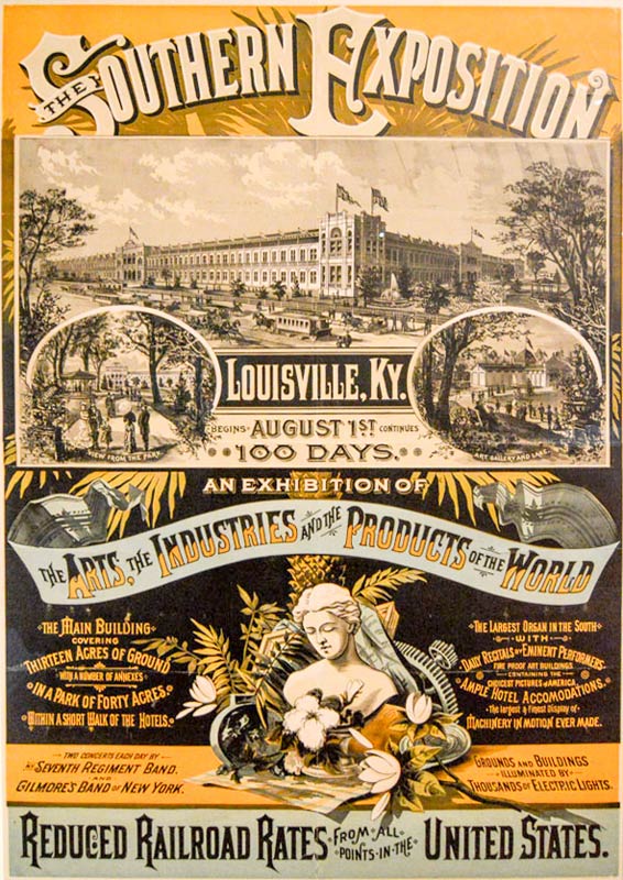
Downtown Louisville is one of only a dozen U.S. cities that have all five major performing arts groups and also has the unique Bourbon District, a walkable urban experience where you can visit nearly a dozen distillery and tasting experiences.
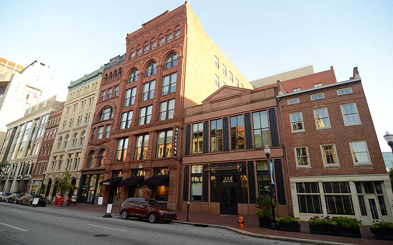
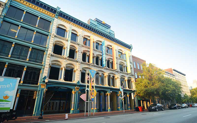
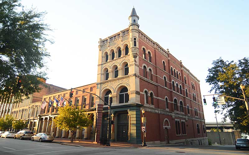
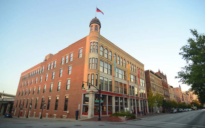
Notable architectural highlights include Whiskey Row, a block of mid-1800s whiskey distillers’ warehouses. Start your downtown walk at 1st and Main Sts. and travel west.
At 2nd St., the George Rogers Clark Memorial Bridge (c. 1929) was the first bridge to carry car traffic across the Ohio River in Louisville and is one of three pedestrian bridges in the area.
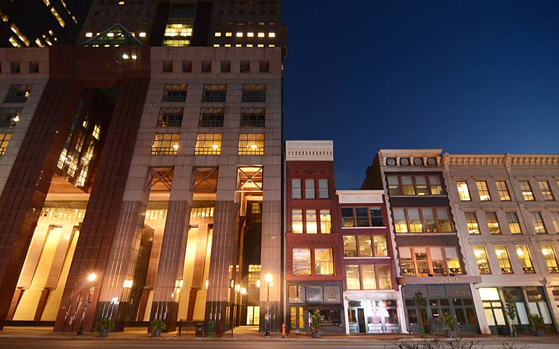
The 300 W. Main block features Actors Theater (c. 1837), one of the oldest surviving buildings in the city, a fine example of small-scale Greek revival architecture. The 400 block features two International style buildings, the 40-story PNC Tower (c. 1972) and on the north side of Main St., the American Life Building (c. 1973), 3 Riverfront Plaza at the Belvedere, was designed by Ludwig Mies Van der Rohe. The post-modern Humana Building (c. 1984) designed by Michael Graves also at 4th & Main is one of the city’s most famous buildings.
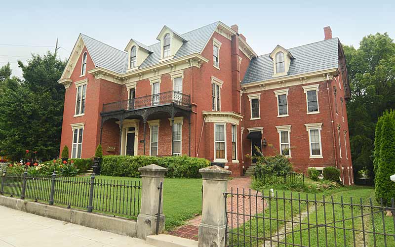
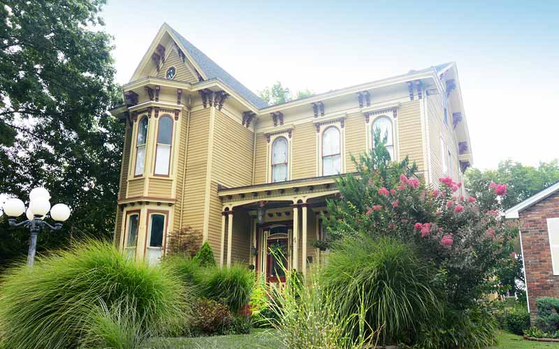
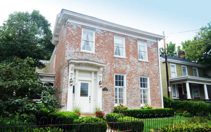
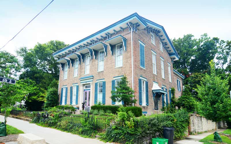
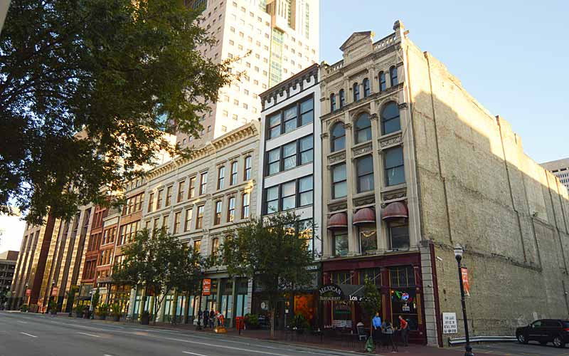
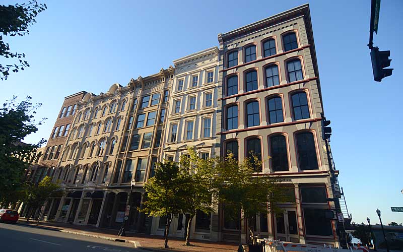
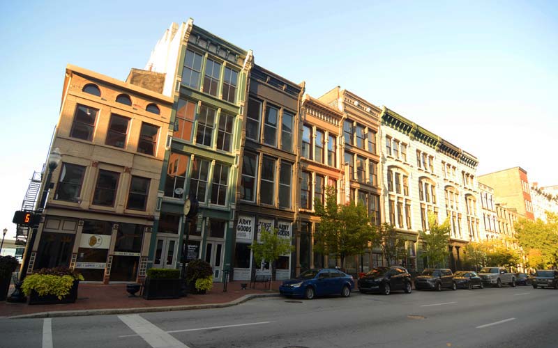
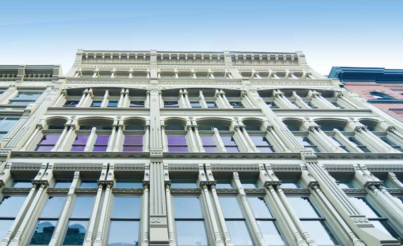
West of 6th St. to 9th St. are the last of the historically intact areas of commercial architecture in downtown and the second-largest concentration of cast-iron buildings in the nation.
Louisville Downtown Management District, a taxed business improvement district, promotes downtown’s quality of life by providing “safe and clean and hospitality” operations through their Downtown Ambassadors to create a more enjoyable environment for workers, residents and guests.
The Louisville Visitors Center, 301 S. 4th Street is operated by Louisville Tourism. Mondays – Saturdays 10 – 5, Sundays 12 – 5.
Louisville Visitor Center
Louisville Downtown Partnership
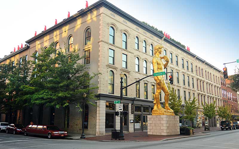
Bourbon District
Fourth Street Live!
GALLERY
500 block W. Main St.
South side of street.
600 block W. Main St.
South side of street.
600 block W. Main St.
North side of street.
600 block W. Main St.
North side of street.
700 block W. Main St.
South side of street.
700 block W. Main St.
North side of street.
700 block W. Main St.
Louisville Leadership Center
800 block W. Main St.
North side of street.
800 block W. Main St.
North side of street.
500 block W. Main St.
Humana building is a best case example of infill
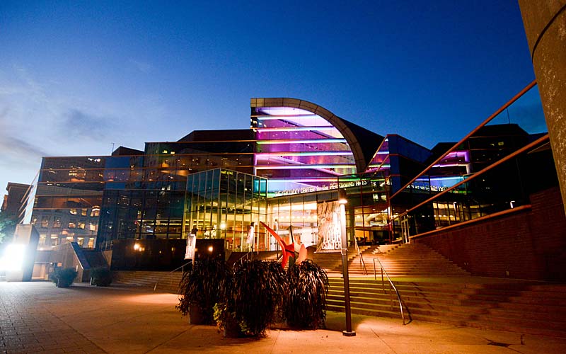
Kentucky Center
500 block W. Main St.
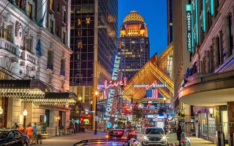
4th Street Live!
4th St and Liberty St