Big Four Bridge

Big Four Bridge

Big Four Bridge

Big Four Bridge

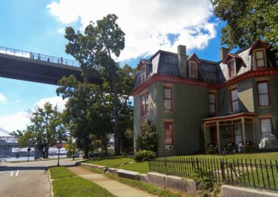
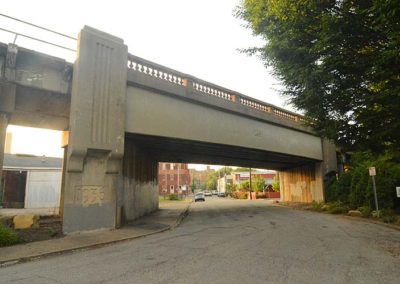
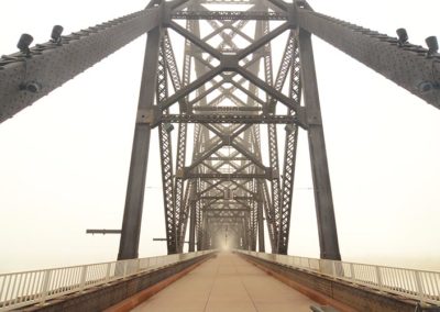
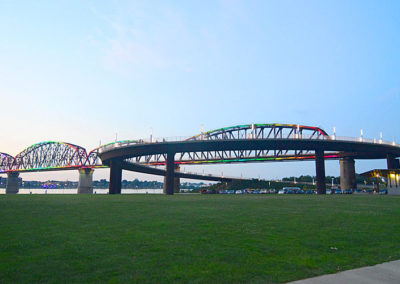
The Big Four Bridge is a six-span former railroad truss bridge crossing the Ohio River from Louisville to Jeffersonville, Indiana. It was completed in 1895 and updated in 1929.

The largest single span is 547 feet long, with the entire bridge spanning one half mile.

The bridge took its name from the defunct Cleveland, Cincinnati, Chicago and St. Louis Railway, which was nicknamed the “Big Four Railroad”. The bridge was decommissioned in the 1960s, when the ramps to the bridge on both sides of the river were removed.

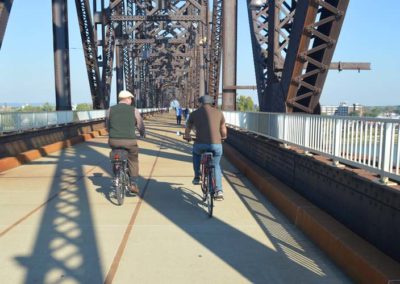
The Big Four is now a pedestrian and bicycle bridge that opened to the public 24 hours a day in 2013. The bridge has millions of visitors each year, making it the most popular urban attraction in the area.

The George Rogers Clark Memorial Bridge downstream is the only other bridge allowing bicyclists and pedestrians to travel across the river near downtown Louisville.
The Big Four

advertisment

GALLERY

Seneca Gardens

Seneca Gardens

Seneca Gardens

Wetstein House

Before the area was settled by Europeans it was home to Indian tribes hunting for animals drawn to Beargrass Creek. Arrowheads, pottery, and artifacts have been found in the area.

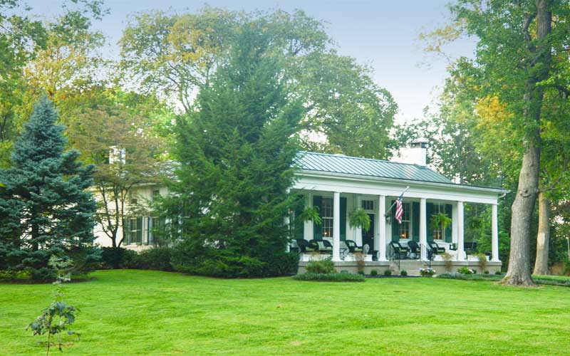
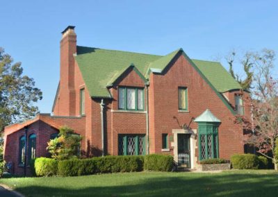
Later part of Farmington, the 1810 estate of John Speed. The Speeds sold sections of their estate in the mid-1800s to Jacob Wetstein who built a home in 1846, located at 2501 Denham Road. His granddaughter’s husband became financially “wiped out” in 1929 and shot himself in the upstairs front bedroom of the house.

Built in the mid-1800s, Cardinal Hill remains, along with its original spring house, at 2539 Trevilian Way. When the house was built and by whom is not certain.

Another early settler, Paul Discher, bought land adjacent to Wetstein’s on what is now Meadow Road. The house no longer stands but members of his family lived in the area until the middle 1900s. Discher Land Co. and Wetstein Land Co. were the co-developers of Seneca Gardens in 1922.

Most of the houses were built during the prosperous years of the 1920s with the final tract developed in 1937.

Several of the houses were built by a prominent local architect, Stratton Hammond. Examples of his work include 2313 Meadow Rd., 2504 Seneca Valley Rd., and 2543 Dell Rd.

Situated between Woodbourne Ave., Carolina Ave., Taylorsville Rd., Bowman Field and Seneca Park.

City of Seneca Gardens

advertisment

GALLERY

Cherokee Gardens

Cherokee Gardens

Cherokee Gardens

Gardencourt

Acollection of small, unconnected subdivisions & large estates along Lexington & Alta Vista Rds., N.E. of Cherokee Park.

The land remained untouched well into the 1850s because of its remote location between Frankfort Ave. & Bardstown Rd., two major routes into the city. In 1851, an alternative to Frankfort Ave. was built for travelers wanting to avoid the railroad crossings in Clifton. The road was named Shelbyville Branch, today it is known as Lexington Rd.

Many successful businessmen built their estates in the area from the 1920s to the 1950s, several were designed by noted Louisville residential architect Stratton Hammon.

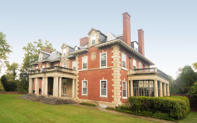
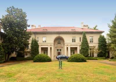
Gardencourt originally was one of the more magnificent estates in the area, built in 1906, and designed by a Boston firm for the daughters of a successful financier. Gardencourt is a classic three-story Beaux Arts mansion, owned today by Louisville Seminary.

Another spectacular estate is Rostrevor, although the surrounding land has been subdivided, the residence has architectural details unique to Louisville.

Bounded by Lexington Rd. to the north, Briar Hill Rd. & Pee Wee Reese Rd. to the east, I-64 to the south and Cherokee Park to the west.

Garden Court

advertisment

GALLERY

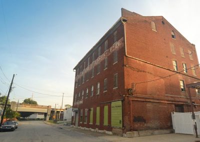
Germantown-Paristowne Point

Germantown-Paristowne Point

Germantown-Paristowne Point

Germantown
The area was settled as small farms and butcher shops by German immigrants in the 1870s. At the time the area was nicknamed ‘Frogtown’ because the adjacent Beargrass Creek frequently flooded the area, causing numerous epidemics of malaria. The flooding problem was eventually solved when Beargrass Creek was routed into a deep concrete canal.

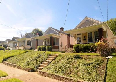
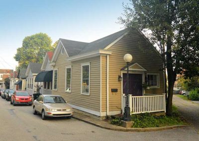
The area was subdivided and developed heavily during the 1890s, the era when most of Louisville’s shotgun houses were built. Germantown has one of the largest collections of well preserved shotguns in the U.S.

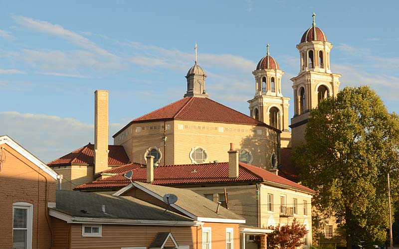
In 1907, a bridge was built across the South Fork of Beargrass Creek which allowed French settlers living north of the creek, in an area called Paristown, to attend the one Catholic church in the area. Because of connection to their neighbor the German-Paristown Neighborhood Association was founded in 1973, making it among one of Louisville’s oldest neighborhood associations.

Today, the neighborhood is undergoing a transition to a younger, more educated demographic. Homes are being renovated and a new generation of bars and restaurants have brought renewed vitality to the Goss Ave. business corridor.

A major new arts and entertainment district in Paristown opened near Broadway in 2018.

Germantown is bounded by Kentucky St. on the north, Barrett Ave, St. Michaels Cemetery, and the South Fork of Beargrass Creek on the east, Eastern Pkwy. & Goss Ave. on the south, and Logan St. on the west.

Paristown Pointe is bounded by Broadway on the north, Barret Ave. on the east, Kentucky St. on the south and the South Fork of the Beargrass Creek on the west.

German-Paristown Neighborhood Association
Paristown

advertisment

GALLERY

Middletown

Middletown

Middletown

Middletown

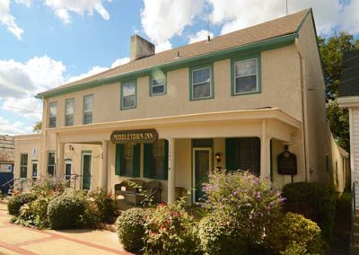
One of Kentucky’s early settlements, chartered as a city in 1797 and lying on the Sinking Fork of Beargrass Creek where the main road to Louisville crossed. Referred to as Middle Station in records before 1787.

Named for being the mid-point between Louisville and Shelbyville on the old Louisville and Shelbyville Turnpike road. The first map of Middletown showed it to be two and one-half blocks long and two blocks wide.

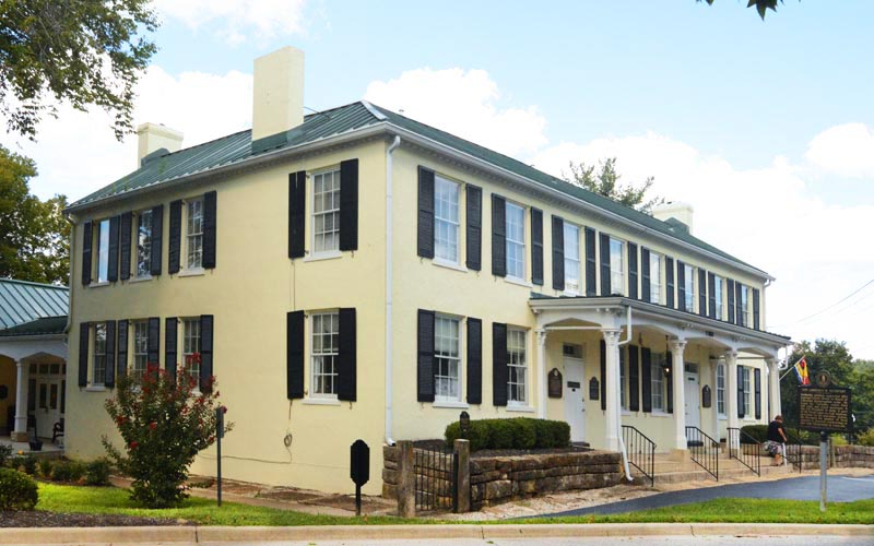
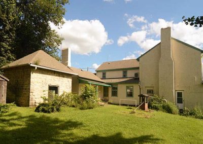
An early trading center for the farms surrounding the city. Its location on the toll road made it a favorite stopover for early travelers traveling by horse. The Wetherby House (Davis Tavern) opened in the early 1840s as a hotel, stagecoach stop, and slave-trading post, along with the Middletown Inn, they both provided hospitality for visitors.

The city was occupied briefly by Confederate forces during the 1862 invasion of Kentucky.

An interurban rail line between Louisville and Shelbyville, established in 1910, made it possible for workers to commute to jobs in Louisville and the area changed from a farming to a suburban community. The interurban was discontinued in 1934 as an increasing number of workers used automobiles to drive to their jobs. The suburbanization continued to such an extent as to almost completely remove all traces of the former rural environment.

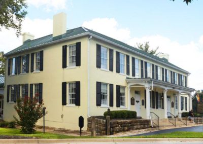
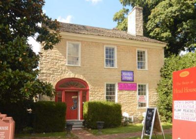
Several structures in the city are listed on the National Register of Historic Places and there are two designated Historic Districts containing over 100 individual properties.

www.cityofmiddletownky.org

advertisment

GALLERY