Cherokee Triangle

Cherokee Triangle

Cherokee Triangle

Cherokee Triangle

The Highlands was the last area near downtown to be urbanized, since the 60 foot incline above the flood plain made travel difficult, the area had no sign of urban development until just before the Civil War. Notable families owned plantations in the area, spurred by the Louisville and Bardstown Turnpike.

The neighborhood became an early streetcar suburb in the 1880s, which was extended down Bardstown Road after early residents of Cherokee Rd. protested the trolley line. Businesses formed along the old turnpike, surrounded by residential development. The growth would creep down Bardstown Rd. as the streetcar lines were extended. By the 1930s, the entire area we call the Highlands had been developed. Streetcars last ran down Bardstown Rd. in 1947.

Much of Cherokee Triangle was originally part of a city called Enterprise, which had incorporated in 1884 for tax reasons, and to keep liquor sales out of the community. The city was annexed by Louisville in 1896.

Many wealthy residents left for new suburbs after World War II, and as was typical of older affluent neighborhoods such as Old Louisville, large multi-story buildings were split up into apartments. The Cherokee Triangle Association formed in 1962, and new rules and down-zoning slowed the trend with suburban-style zoning restrictions, partially to prevent developments such as new apartment complexes that were seen as out of place.

The preservation district designation came in 1975 after “incompatible intrusion” by developers. Largely as a result of the preservation district status, the neighborhood has undergone a period of sustained gentrification, and has had the greatest appreciation of property values in the city.

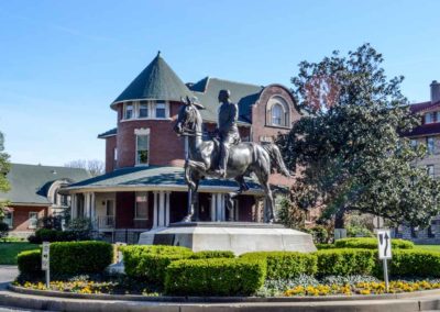
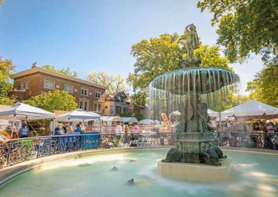
The neighborhood is known for Cave Hill Cemetery (1848), Cherokee Park (1891), and its annual art fair, held the weekend before the Kentucky Derby. A local landmark was the statue of General John Breckinridge Castleman, removed in 2020 after protests.

The historic district is bounded by Cave Hill Cemetery on the north, Cherokee Park on the east, Eastern Pkwy. on the south, and Bardstown Rd. on the west.

www.cherokeetriangle.com
Louisville Historic Preservation & Urban Design
advertisment

GALLERY

Original Highlands

Original Highlands

Original Highlands

Original Highlands

Land originally surveyed in 1774, the “Briar Patch” plantation was established in 1814. 1819 construction of the Louisville and Bardstown Turnpike (Bardstown Rd) attracted German immigrant farmers and the area was known as New Hamburg.

After the Civil War the land was subdivided. Horse-drawn streetcar line was extended from the city to Highland Avenue in 1871. Much of the land was subdivided and developed between 1891 and 1896. Houses were constructed after 1860 but primarily from 1884 to 1895. Buildings from before 1884 were located mostly along Breckinridge (formerly Howard), Christy, Baxter and Barret.

The area was called the Highlands because it sits on a ridge between the middle and south forks of Beargrass Creek, above the Ohio River flood plain. Today eight other neighborhoods in the area on the same ridge are also collectively called The Highlands.

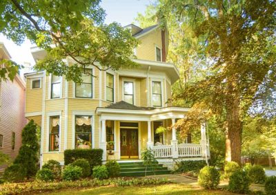
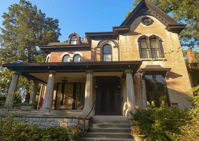
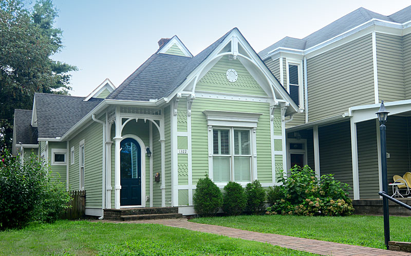
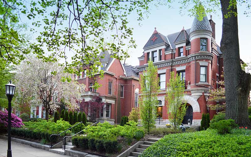
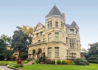
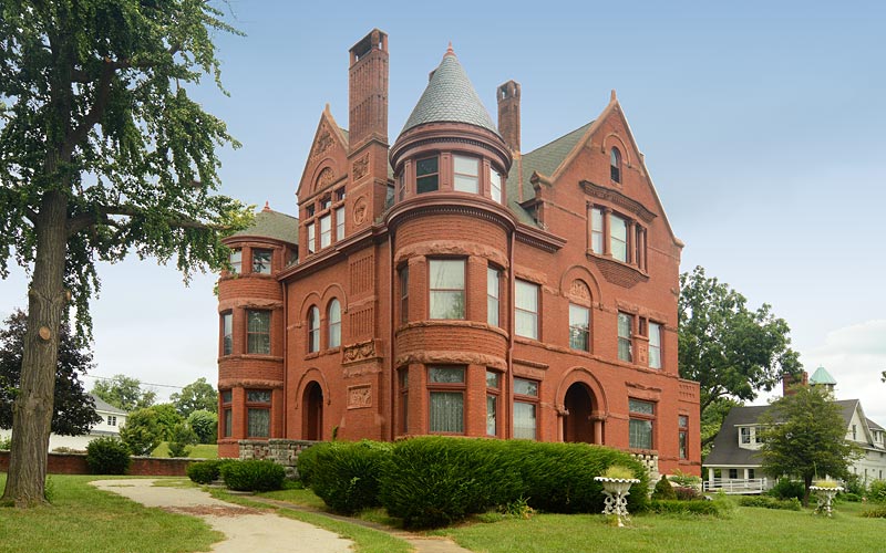
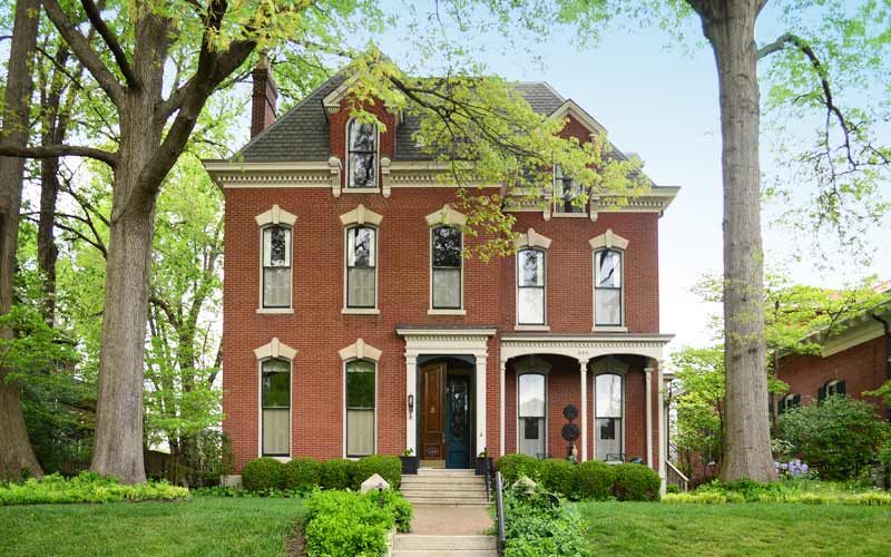
The architecture of the neighborhood is a mixture of large, wood framed, and brick Victorian houses and working class shotgun houses, which are often right next to each other. Queen Anne is a common style of architecture.

Baxter Avenue/Bardstown Road and Barret Avenue commercial corridors include galleries, shops, restaurants, bars, and night life.

The Original Highlands’ boundaries are East Broadway on the north, Bardstown Road/Baxter Avenue on the east, Rufer Avenue on the south and Barret Avenue on the west.

www.facebook.com/Original-Highlands

advertisment

GALLERY

Old Louisville

Old Louisville

Old Louisville

Old Louisville

When Louisville extended the city grid to south of Broadway the area became Louisville’s first suburb, named the Southern Extension, it was initially only a few country residences, north-south avenues were developed by 1850.

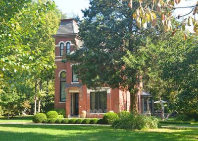
Development pace quickened rapidly after the Civil War as Louisville grew as a manufacturing center, the next twenty years brought substantial two and three-story stone and brick houses between Broadway and Ormsby Avenue.

In 1868, the city boundaries expanded outward again to include rural land that is now University of Louisville campus. But the Southern Exposition (1883-1887) located on a 45-acre site that today is Central Park and St. James Court inspired the real growth in the area. One million people visited the industrial and mercantile show that featured Thomas Edison’s light bulb, and brought the city international attention.

The following two decades the area became the fashionable place to live, mainly along Third and Fourth Streets. Revival architectural styles popular during England’s Victorian era were built as other subdivisions were added to the area.

The decline of the popularity of Old Louisville had begun by the beginning of World War I as families became enamored with the suburbs developing east and west of the city. The newer electric streetcar, followed by automobiles, made these newer suburbs accessible. Improved electric, plumbing, and heating technologies made the newer homes more attractive.

As families moved out, businesses moved in and from the 1920s through the 1950s, commercial development pressure dramatically altered the character of Old Louisville. Automobile dealerships took most of the homes from Broadway to Oak St. Other businesses also destroyed homes to make room for growing parking needs. Between 1950 and 1970, the neighborhood had the biggest lost of homeowners to the expanding suburbs.

Deeply troubled by the changes that had swept through the neighborhood, residents took action. In 1961, Restoration, Inc. was created to buy and renovate historic homes in Old Louisville, started with eleven homes on Belgravia Court, they inspired others to do the same.

By 1968, homeowners, tenants, and community leaders worked together as activists to get the area rezoned, prohibiting commercial use in residential neighborhoods, and to renovate houses. To support the efforts, the city gave Old Louisville official status and protection by designating it as a Preservation District in 1974.

Old Louisville Neighborhood Council
Louisville Historic Preservation & Urban Design
advertisment

GALLERY

Nulu

Nulu

Nulu

Nulu

Until the early 2000s, many E. Market St. buildings were being used by a homeless shelter. Businesses in the area put pressure on the shelter and began a hearing process for their buildings to be added to the historic register, forcing them to stop planned renovations of their buildings. The shelter eventually sold their properties and moved out and investors moved in, and plans to add the buildings to the historic register were called off.

The original Haymarket area occupied the blocks surrounded by Jefferson, Market, Preston, and 2nd streets, dating back to the 1800s, as a vendors’ open-air market, it was the center for the majority of the produce traded in the city.

Market St. originally had green spaces for markets that were later replaced by traffic lanes. In 1955, several companies formed an association and moved away from downtown, the original Haymarket buildings were demolished as part of urban renewal.

Part of the Phoenix Hill National Register Historic District, the area has a wide range of architectural styles, from pre-Civil War federal style town-homes and shotgun houses, to turn of the 20th century buildings built for the business boom following the Civil War.

Many of those buildings are home today to galleries, specialty shops, restaurants, and residences. The neighborhood’s The Green Building, at 732 E. Market, in a 1891 former dry goods store, is Louisville’s first commercial LEED Platinum structure, and Kentucky’s first LEED Platinum adaptive reuse structure. The building’s owner, Gil Holland, coined the term NuLu.

NuLu Business Association

advertisment

GALLERY

Howard Steamboat Museum

Howard Steamboat Museum

Howard Steamboat Museum

Howard Steamboat Museum

In 1834, 19-year-old James Howard started his shipyard on the Ohio River in Jeffersonville, IN, and began building his first boats. During its three generations, and 107-year history, the Howard Shipyard built over 3,000 vessels, and created the largest inland shipyard in America.

The story of the family, and their famous riverboats, are well preserved in the mansion and museum.

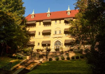
The 22-room Romanesque Revival home was built across from the shipyard in 1894. The woodworking craftsmanship is visible in the interior, reminiscent of their elegant steamboats. Steamboat enthusiasts can get lost in the museum’s collection of thousands of artifacts.

Among artifacts on display are items from the legendary Robert E. Lee, the Natchez, and the Howard-built J. M. White. The largest single artifact is the shaft of the original paddlewheel of the Delta Queen. The museum has a collection of 5,000 photographs, origina shipbuilding tools, documents, paintings, and scaled models from the steamboat era.

The Howard’s control of the shipyard ended in 1941, when it was purchased by the U.S. Navy for World War II and construction of ‘Landing Ship Tanks’ or ‘LSTs’, sub-chasers, and other ocean-going vessels.

The Howard tradition of shipbuilding continues today as Jeffboat, and is “the oldest continually operated inland shipyard in the country.”

A bell cast and made in Cincinnati, in 1874, for the original Mississippi Queen, which ended operation in 2008, is on display. It’s an enduring symbol of the magnificent era of shipbuilding that is being preserved today.

www.howardsteamboatmuseum.org

advertisment

GALLERY