Original Highlands

Land originally surveyed in 1774, the “Briar Patch” plantation was established in 1814. 1819 construction of the Louisville and Bardstown Turnpike (Bardstown Rd) attracted German immigrant farmers and the area was known as New Hamburg.
After the Civil War the land was subdivided. Horse-drawn streetcar line was extended from the city to Highland Avenue in 1871. Much of the land was subdivided and developed between 1891 and 1896. Houses were constructed after 1860 but primarily from 1884 to 1895. Buildings from before 1884 were located mostly along Breckinridge (formerly Howard), Christy, Baxter and Barret.
The area was called the Highlands because it sits on a ridge between the middle and south forks of Beargrass Creek, above the Ohio River flood plain. Today eight other neighborhoods in the area on the same ridge are also collectively called The Highlands.
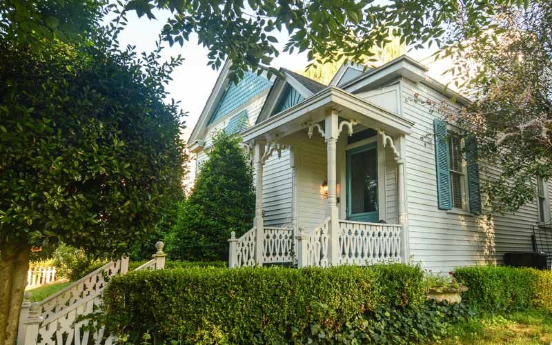
The architecture of the neighborhood is a mixture of large, wood framed, and brick Victorian houses and working class shotgun houses, which are often right next to each other. Queen Anne is a common style of architecture.
Baxter Avenue/Bardstown Road and Barret Avenue commercial corridors include galleries, shops, restaurants, bars, and night life.
The Original Highlands’ boundaries are East Broadway on the north, Bardstown Road/Baxter Avenue on the east, Rufer Avenue on the south and Barret Avenue on the west.
GALLERY
Original Highlands
Morton Ave.