West Main Street
West Main Street
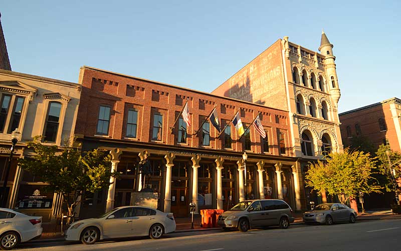
Fort Nelson, built in 1781, was the second on-shore fort in what is now Louisville, in response to continuing attacks from Native Americans and the threat of British attacks during the Revolutionary War. The fort was constructed between today’s Main St. and the river, with a main gate near Seventh St.
Starting in the 1850s, many taller buildings with decorative cast-iron façades were built, making it the largest collection of cast iron façades in the U.S., rivaled only by New York’s SoHo neighborhood and Portland, Oregon.
The development of the area was aided by its proximity to the river and the Falls of the Ohio. Steamboat traffic stopped to unload passengers and cargo. Warehouses for manufacturing and storing goods, including tobacco and whiskey, where built in the area.
With the growth of railroads, and a decline in river traffic, commercial activities moved south along 4th St. and came to center around Broadway.
The 1970s brought the beginning of revitalization of Main St. with the new Galt House Hotel and Riverfront Plaza.
The St. Charles Hotel, opened in 1869, still stands today at the S.E. corner of Main & 7th. it is one of the oldest buildings on W. Main. St. Actors Theatre in the 300 block of W. Main is another one.
The West Main District, one of the five districts downtown, includes the 800-600 blocks of W. Main and the southern side of the 500 block, and includes Museum Row, ten tourist attractions within four walkable blocks.
The Main Street Visitors Center is located at 627 West Main Street.
Hours are seasonal: Monday through Friday, 11 am to 3 pm, weather permitting.
Main Street Association
Louisville Downtown Partnership
Louisville Historic Preservation & Urban Design
GALLERY
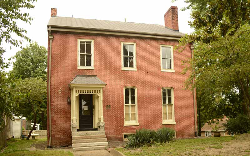
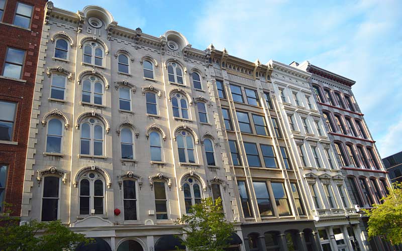
500 block W. Main St.
South side of street.
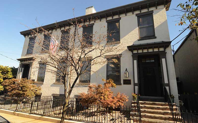
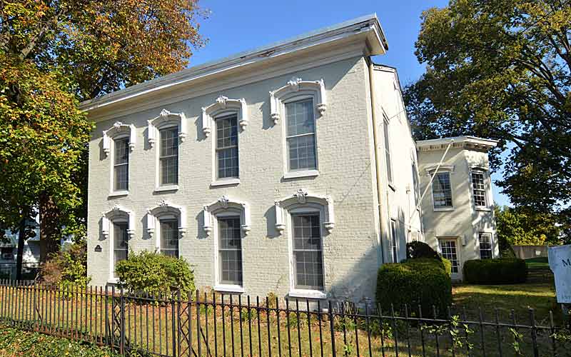
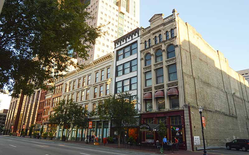
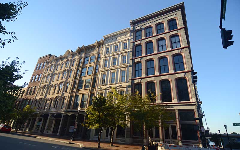
600 block W. Main St.
South side of street.
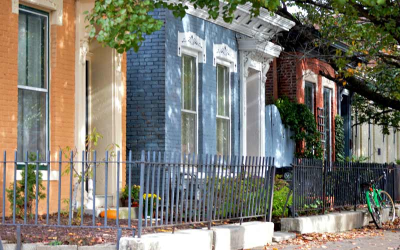
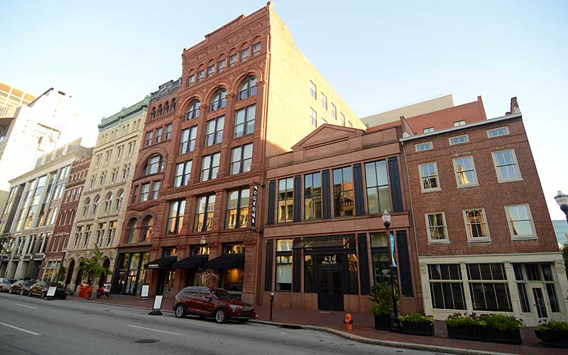
600 block W. Main St.
North side of street.
600 block W. Main St.
North side of street.
600 block W. Main St.
North side of street.
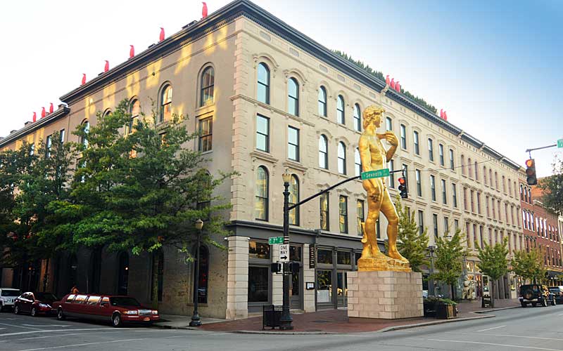
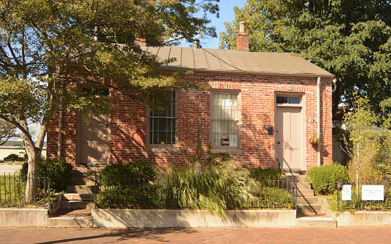
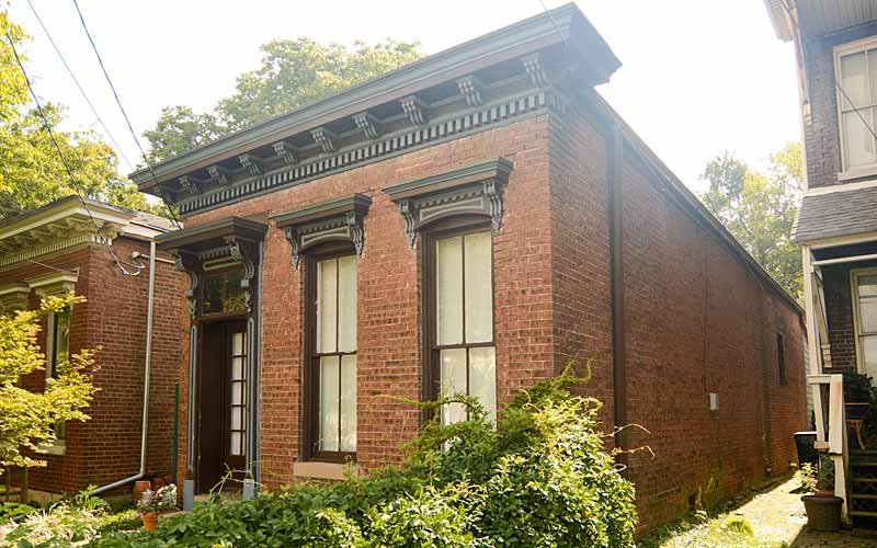
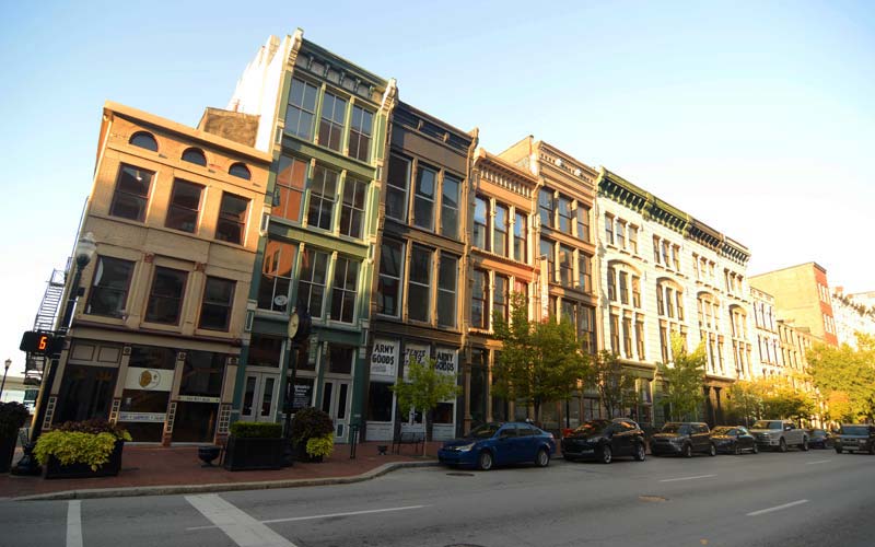
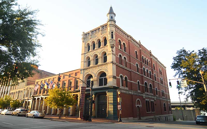
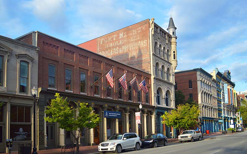
700 block W. Main St.
South side of street.
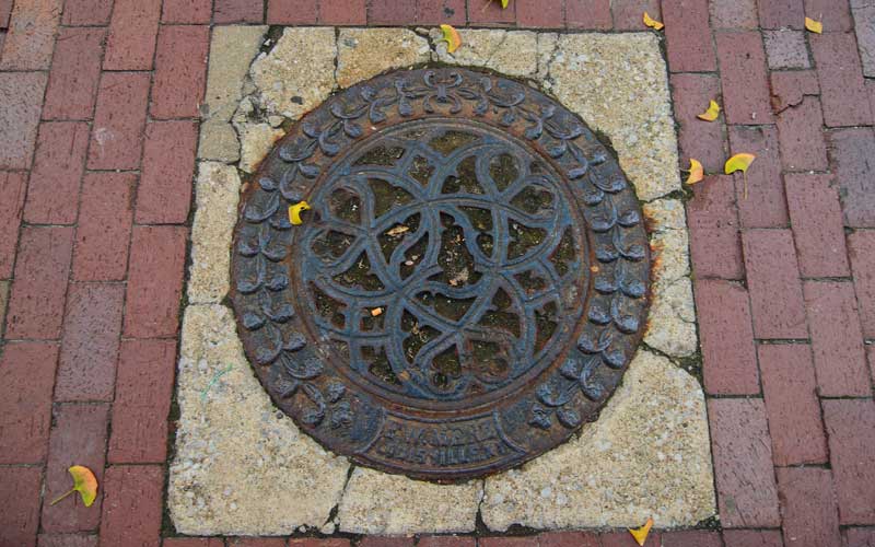
730 W. Main St.
Coal hole covers.

700 block W. Main St.
Louisville Leadership Center
700 block W. Main St.
North side of street.
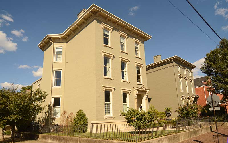
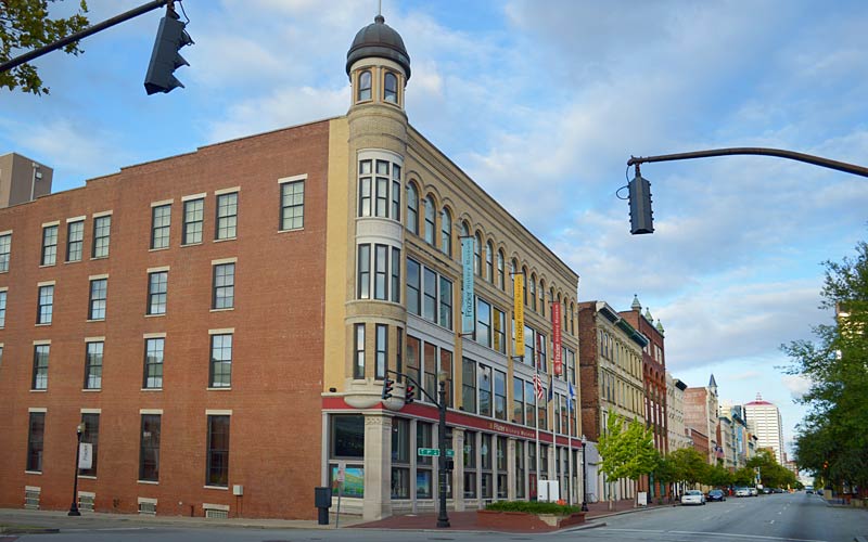
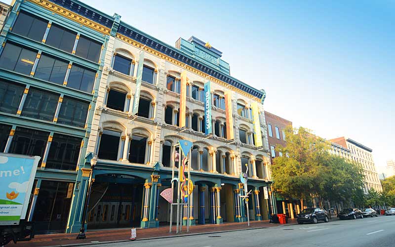
800 block W. Main St.
North side of street.
800 block W. Main St.
North side of street.
800 block W. Main St.
North side of street.
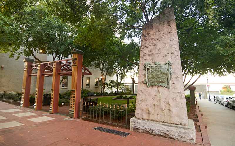
Fort Nelson
In 1778 Major George Roger Clark brought 150 soldiers and 80 settlers from Redstone, Pennsylvania, down the Ohio River to Corn Island. A month later, Clark took the soldiers to fight the British in the American Revolution. The families left behind established Fort Nelson, the first permanent settlement at the site of Louisville and Clark is recognized as the founder.