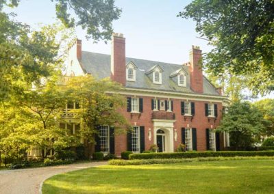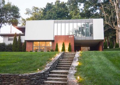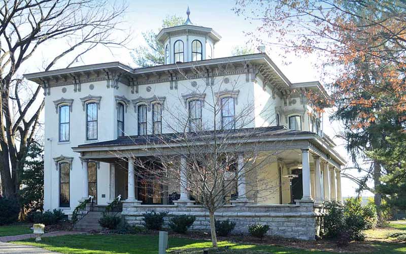
Farmington

Farmington

Farmington

Farmington

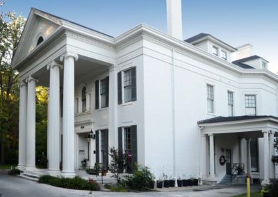
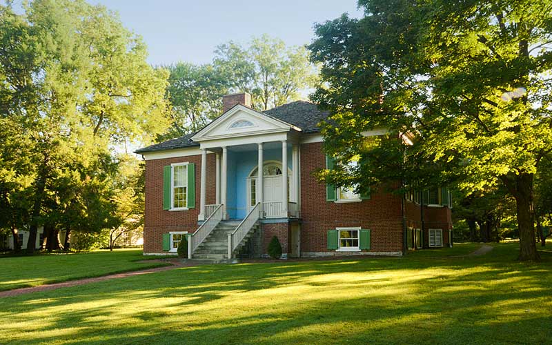
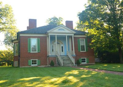
Farmington is a 19th century home and former hemp plantation, completed in 1816 on 18 acres, was originally owned by John and Lucy Speed. The 14-room, Federal-style brick plantation house was possibly based on a design by Thomas Jefferson and has several Jeffersonian architectural features.

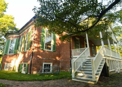
Farmington consists of a single story above a raised basement. There are 14 rooms on the first floor, with servant’s and children’s rooms on the basement floor. The first story is five feet above ground level, with basement windows above the ground.

A simplified classical cornice under the hipped roof helps give the house a pleasing, proportional appearance. The front entrance is a tetrastyle portico with slender Doric columns, reached by 11 steps. The porch’s gable features a semi-circular ventilation window.

The front door opens into a central hall which has a door at the back leading to a rear hall. These two halls give access to all rooms on the first floor, as well as stairs to the basement and attic.

A notable feature of the first floor are two octagonal rooms, one is a dining hall and the other is a parlor. Other rooms on the first floor are two bedrooms, a study and a family sitting room.

Farmington has been restored as a nonprofit tourist attraction, and a re-creation of a 19th-century plantation, and is open to the public for tours and special events.
www.farmingtonhistoricplantation.org

advertisment

GALLERY

Hogan’s Fountain Pavilion

Hogan’s Fountain Pavilion

Hogan’s Fountain Pavilion

Hogans Fountain Pavilion

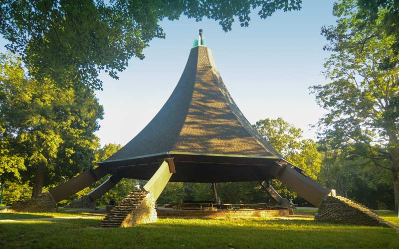
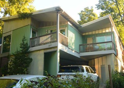
The Hogan’s Fountain Pavilion is a large gazebo and picnic shelter of mid-century modern architecture, built in 1965, it is the most prominent landmark in Cherokee Park. Most locals affectionately refer to the structure as the Witch’s Hat.

The Hogan’s Fountain Pavilion was designed by E.J. Schickli, Jr., who felt that a conical “wigwam” or “teepee” shaped design was appropriate as it reflected Cherokee Park’s Native American-derived name.

In 1974, the pavilion survived a category F4 tornado with minor damage although Cherokee Park was heavily affected, losing over 2,000 mature trees to the twister.

After 1994, the Parks Department and the Olmsted Parks Conservancy announced plans for removal of the Hogan’s Fountain Pavilion when its natural life span ends, as part of a Master Plan to recapture the original 1892 design that Frederick Law Olmsted envisioned for Cherokee Park.

In 2010, in response to public hearings, a group of Pavilion-restoration supporters organized a successful grassroots fund-raising effort to save the structure from demolition.

To preserve the Pavilion after its restoration, the group got the Historic Landmarks and Preservation Districts Commission to designate it as an official individual Local Landmark in 2012.

Today, this celebrated structure captures the attention of architects, historians, preservationists and educators.

DEMOLISHED BY THE CITY,  JULY, 26, 2023

Wikipedia link

advertisment

GALLERY

Belknap

Belknap

Belknap

Belknap

In 1790 a family settled in this area from Europe. A house remains from their farm on and their family cemetery is on Bardstown Rd. where Doup and Kaelin Aves. meet.

In 1801, Jonathan Clark, older brother of George Rogers and William, built the original part of the house on 1,000 acres, at 1840 Trough Springs, and gave the acreage its name from a spring on the property. The original core of house remains intact.

The Zimlich brothers owned 80 acres between Dundee Rd. and Sewanee Dr. and ran a stage coach stop there from 1847 to 1901. A young Abraham Lincoln was known to frequent the Douglass Loop Tavern during his visits to the area in 1841. It was one of the first commercial strips along what is now Bardstown Road. The area includes the Douglass Loop and continues on Bardstown Road to St. Francis of Assisi Church. St. Francis built their first church there in 1886 where sermons were preached in German until 1910.

In the 1920’s the neighborhood evolved from grid to a curvilinear type development, and had restrictions on building materials – no frame construction was permitted.

Although much of the neighborhood had been developed before the crash of ’29, there were still many lots available. Consequently, a 1920’s house can be found next to a 1940’s house which created an interesting in-fill, often making it difficult to tell the age of a house.

The Belknap School Building, c. 1916, is on the National Register. The exterior terra cotta ornamentation make it one of the city’s finest examples of Sullivanesque detailing.

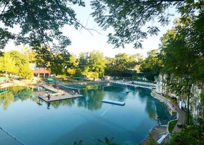
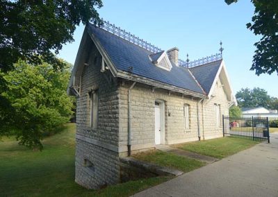
Lakeside Swim Club, originally Kaelin’s Quarry, was founded in 1924 and is surrounded by forty-foot cliffs. The quarry is filled with 3.2 million gallons of water. The original spring house is at 2147 Lakeside Drive.

The Douglass Loop streetcar turnaround was used from 1912 until 1948. The Douglass Loop is the only remaining loop in the city.

Opened in 1926, The Loop Barber Shop is the oldest continuously operating barber shop in the city.

Douglass Loop’s Twig and Leaf, a 1961 roadside diner of modern design, was one of the first modern structures to be designated a local landmark in the city.

Built in 2001, the Wyatt house on Ravinia Ave. is considered an architecturally significant house for its modern design.

Warheim Park is a neighborhood green space at Overlook Terrace, Yale Dr. and Boulevard Napoleon.

Corporations have targeted Belknap for development due to its central location, favorable demographics, and proximity to the urban core. The Belknap Neighborhood has been very successful in controlling intrusion in their neighborhood.

Recognized as one of the most livable and lovable neighborhoods in America, it is the largest neighborhood in the Highlands.

www.belknapneighborhood.org

advertisment

GALLERY

Highlands-Douglass

Highlands-Douglass

Highlands-Douglass

Highlands-Douglass

One of many neighborhoods that emerged in the early 20th century from rolling farmland and scattered family estates as growth moved outward from downtown as the trolley line was extended out Bardstown Rd. to Taylorsville Rd.

One of the earliest estates in the area was Woodbourne, a 200 acre estate assembled during the 1830s, part of that property was donated to create Cherokee Park The original estate home still stands near the intersection of Bardstown Rd. and Woodford Place.

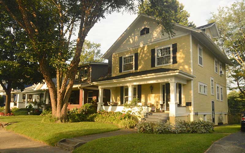
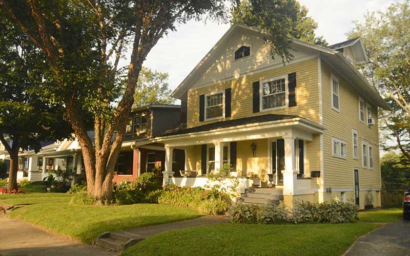
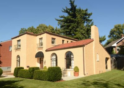
The more level terrain western portion of the neighborhood developed quicker than the eastern portion and the original subdivision was carved into several smaller subdivisions prior to World War I and again in the 1920s. The housing styles in each subdivision reflects the socio-economic status of the original residents. Large historical revival homes (Colonial, Tudor, etc.) in the western portion suggest an affluent upper-middle class population, while the bungalows of the southern portion, near the intersection with Taylorsville Rd., indicate a more middle class population.

The western section of the neighborhood featured a street pattern which represented a departure from the original grid style subdivisions. In addition to showing a greater respect for the natural topography of the land, there was a growing trend towards subdivision design which included large lots, encouraged natural topography, and preferred street patterns which discouraged through traffic in residential neighborhoods. This proved to be more profitable in the long run as well as more appealing to affluent home buyers.

The prevalence of more contemporary style homes and ranch houses along with the occasional historical revival home along Carolina Avenue, Moyle Hill Rd., Millvale Rd., and Valletta Ln. are an indication of the numerous subdivisions and re-subdivisions that took place.

The neighborhood is generally bounded by Speed Ave. on the north, Cherokee/Seneca Park on the east, Eastview Ave. on the south, and Bardstown Rd. on the west.

www.highlandsdouglass.org

advertisment

Crescent Hill

Crescent Hill

Crescent Hill

Crescent Hill

The area was originally called “Beargrass” because it sits on a ridge between two forks of Beargrass Creek. Development occurred during the 1850s when the Louisville and Lexington turnpike (Frankfort Ave.) and the Louisville and Frankfort railroad were built through the area.

In 1853 the 38-acre fairgrounds were built and were used to host the Agriculture and Technology fair. In 1883, St. Joseph’s Orphanage moved away from downtown and was built on the site. Around the same time large estate lots began to be subdivided as people moved farther away from the city. Louisville annexed the area in the late 1800s.

An F4 tornado ripped through the middle of the neighborhood in April, 1974.

In the early 1980s the Crescent Hill Community Council formed the Peterson-Dumesnil House Foundation and purchased the house at 301 S. Peterson from the Jefferson County Board of Education.

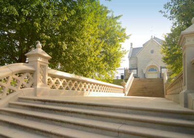
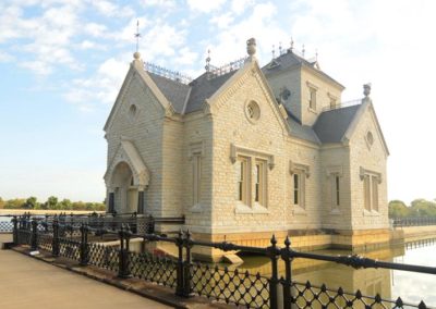
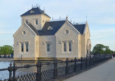
Attractions in Crescent Hill include many popular locally-owned restaurants, bars, shops, and galleries on Frankfort Ave; and the Louisville Water Company Crescent Hill Reservoir, Southern Baptist Theological Seminary, and Peterson-Dumesnil House.

The neighborhood is bounded by Brownsboro Rd. on the north, St. Matthews on the east (roughly Cannons Ln.), Lexington Rd. on the west, and Ewing Ave. on the west.

www.crescenthill.us

Peterson-Dumesnil House

advertisment

GALLERY