Original Highlands

Original Highlands

Original Highlands

Original Highlands

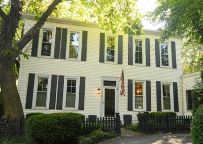
Land originally surveyed in 1774, the “Briar Patch” plantation was established in 1814. 1819 construction of the Louisville and Bardstown Turnpike (Bardstown Rd) attracted German immigrant farmers and the area was known as New Hamburg.

After the Civil War the land was subdivided. Horse-drawn streetcar line was extended from the city to Highland Avenue in 1871. Much of the land was subdivided and developed between 1891 and 1896. Houses were constructed after 1860 but primarily from 1884 to 1895. Buildings from before 1884 were located mostly along Breckinridge (formerly Howard), Christy, Baxter and Barret.

The area was called the Highlands because it sits on a ridge between the middle and south forks of Beargrass Creek, above the Ohio River flood plain. Today eight other neighborhoods in the area on the same ridge are also collectively called The Highlands.

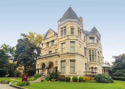
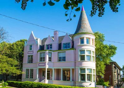
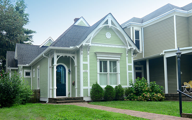
The architecture of the neighborhood is a mixture of large, wood framed, and brick Victorian houses and working class shotgun houses, which are often right next to each other. Queen Anne is a common style of architecture.

Baxter Avenue/Bardstown Road and Barret Avenue commercial corridors include galleries, shops, restaurants, bars, and night life.

The Original Highlands’ boundaries are East Broadway on the north, Bardstown Road/Baxter Avenue on the east, Rufer Avenue on the south and Barret Avenue on the west.
www.facebook.com/Original-Highlands

advertisment

GALLERY

Old Louisville

Old Louisville

Old Louisville

Old Louisville

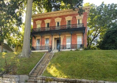
When Louisville extended the city grid to south of Broadway the area became Louisville’s first suburb, named the Southern Extension, it was initially only a few country residences, north-south avenues were developed by 1850.

Development pace quickened rapidly after the Civil War as Louisville grew as a manufacturing center, the next twenty years brought substantial two and three-story stone and brick houses between Broadway and Ormsby Avenue.

In 1868, the city boundaries expanded outward again to include rural land that is now University of Louisville campus. But the Southern Exposition (1883-1887) located on a 45-acre site that today is Central Park and St. James Court inspired the real growth in the area. One million people visited the industrial and mercantile show that featured Thomas Edison’s light bulb, and brought the city international attention.

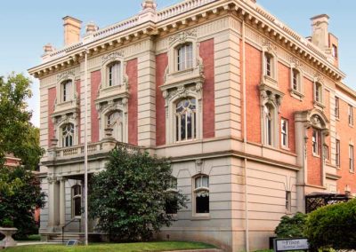
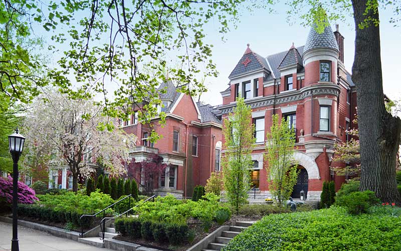
The following two decades the area became the fashionable place to live, mainly along Third and Fourth Streets. Revival architectural styles popular during England’s Victorian era were built as other subdivisions were added to the area.

The decline of the popularity of Old Louisville had begun by the beginning of World War I as families became enamored with the suburbs developing east and west of the city. The newer electric streetcar, followed by automobiles, made these newer suburbs accessible. Improved electric, plumbing, and heating technologies made the newer homes more attractive.

As families moved out, businesses moved in and from the 1920s through the 1950s, commercial development pressure dramatically altered the character of Old Louisville. Automobile dealerships took most of the homes from Broadway to Oak St. Other businesses also destroyed homes to make room for growing parking needs. Between 1950 and 1970, the neighborhood had the biggest lost of homeowners to the expanding suburbs.

Deeply troubled by the changes that had swept through the neighborhood, residents took action. In 1961, Restoration, Inc. was created to buy and renovate historic homes in Old Louisville, started with eleven homes on Belgravia Court, they inspired others to do the same.

By 1968, homeowners, tenants, and community leaders worked together as activists to get the area rezoned, prohibiting commercial use in residential neighborhoods, and to renovate houses. To support the efforts, the city gave Old Louisville official status and protection by designating it as a Preservation District in 1974.

Old Louisville Neighborhood Council
Louisville Historic Preservation & Urban Design

advertisment

GALLERY

Irish Hill

Irish Hill

Irish Hill

Irish Hill

Originally known as Billy Goat Hill, Irish Hill acquired its name because it’s on a ridge above the Ohio River flood plain, and was settled by Irish Catholics in the mid-1800s, although many German Catholics settled there as well.

During the 1937 flood of the water reached the bottom of the hill and a “pontoon bridge” was located at Baxter Ave. at Lexington Road to help people escape downtown for higher ground. 20,000 people passed through the neighborhood and relocated in the Highlands and Crescent Hill.

From the 1850s until it was demolished in 1968, the City Workhouse, which housed criminals convicted of minor crimes, was located at Lexington and Payne Streets, at what is now Breslin Park, which is across from what is now Distillery Commons, which was originally the Old Kentucky Distillery, which was the largest distillery in the world in its day.

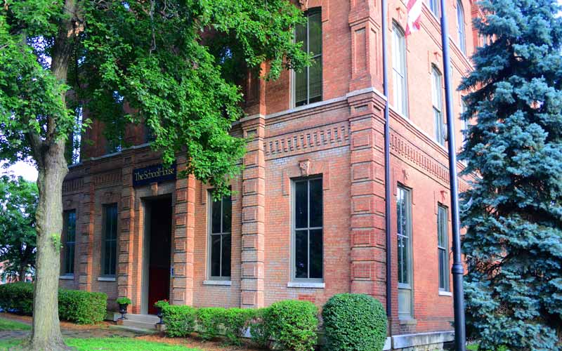
The historic St. Aloysius Catholic Church and School (c. 1890-1996), was the cornerstone for many generations of families of Irish Hill, until the Archdiocese closed the school and church, against the objections of the parishioners and neighbors.

Early neighborhood businesses were the Beargrass Slaughter House, Doll Lumber, Roppel’s Grocery, Stottmann’s Cafe, Otte’s Grocery, Leibert Farm and Seitz’s Drugstore.

In addition to the shotgun houses, there are a few larger historic houses in the area, including the Valentine Schneikert house, and the Nicholas Finzer house, built around 1869. Other historic sites are the St. Aloysius church, and the old Rogers Street fire house (c. 1893 – 1977), all on the National Register of Historic Places.

The neighborhood is bounded by Baxter Ave. to the west, Lexington Rd. to the north, the middle fork of Beargrass Creek, and I-64 to the east. Cave Hill Cemetery is directly south.

www.irishhillneighbors.org

advertisment

GALLERY

Limerick

Limerick

Limerick

Limerick

Many of the original residents were from County Limerick in Ireland. The neighborhood expanded in the 1860s for employees of the Louisville and Nashville Railroad just to the west. It began the trend of the working class moving south of downtown.

Louisville Steam Engine Co. 7 opened in 1871 to provide fire protection to the new southern suburbs of the city. The firehouse at 821 S. 6th St. was the oldest continuously active firehouse in the U.S. until it closed in 2009.

The English Gothic styled St. Louis Bertrand Catholic Church on Sixth St. was dedicated in 1873 and was the centerpiece of the neighborhood. From 1872 until 1918 the annual St Patrick’s Day parade went from the church north to Broadway.

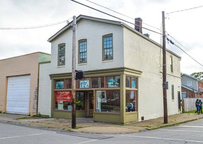
Working class Irish immigrants lived in shotgun houses, with a large number of African-Americans living in simple wood framed homes in the alleyways behind them. Upper income Irish built larger homes along St. Catherine St. The Irish eventually moved to south Louisville along with the railroad jobs, and as they left African-Americans moved in to the shotguns.

Opened in 1873, the Louisville Central Colored School at 6th and Kentucky St. was the first state supported black public school in Kentucky. It served as the educational center for the city’s African-American community until relocating in 1894.

At 7th and Kentucky St., Eclipse Park opened in 1874, the home of Louisville’s major league baseball team the Louisville Eclipse, later known as the Louisville Colonels. The field was relocated in 1899.

The Limerick neighborhood is bounded by Breckinridge St. to the north, 5th St. to the east, Oak St. to the south, and the railroad tracks to the west.
Louisville Historic Preservation & Urban Design

advertisment

GALLERY