Russell

Russell

Russell

Russell

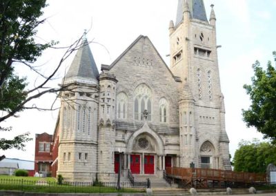
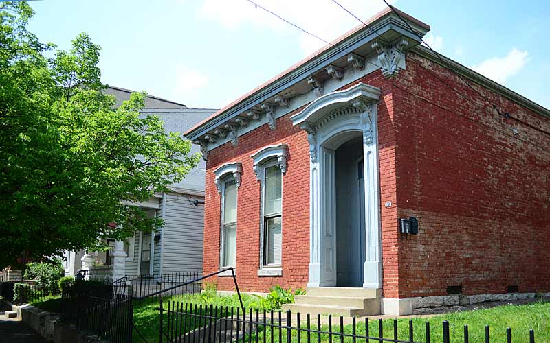
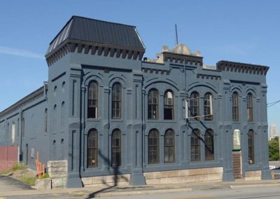
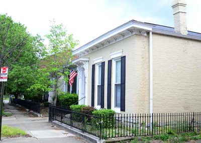
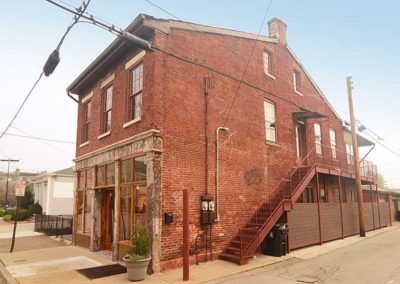
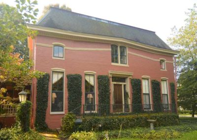
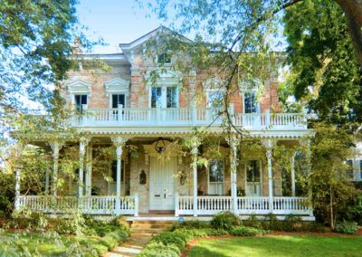
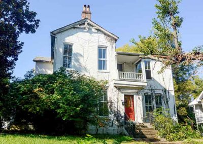
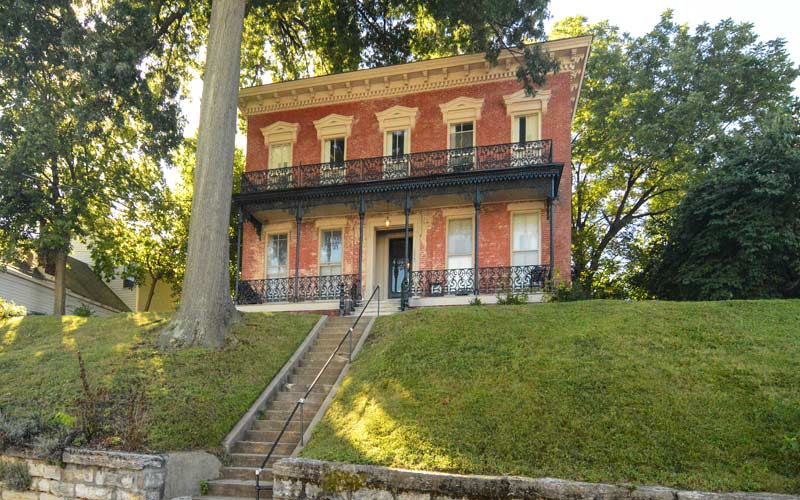
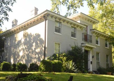
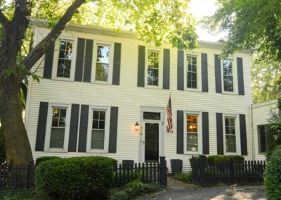
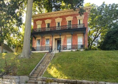
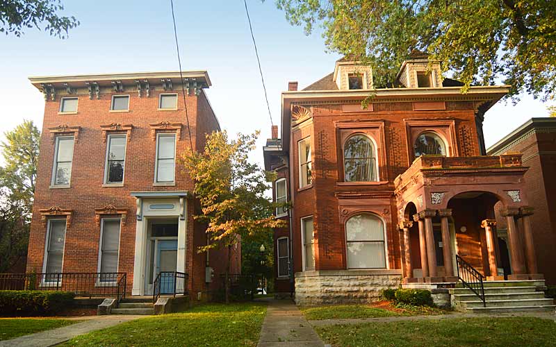
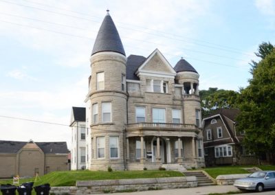
Once a blend of wealthy, working-class and poor people. By the 1830s, free blacks began buying property west of 9th St. Affluent white families built elegant mansions on Walnut, Chestnut, and Jefferson Sts. in what was once the city’s most fashionable neighborhood.

By the 1890s white families began moving towards the east end. African Americans began moving west of 21st St. after World War I. By the 1930s the neighborhood was predominantly black.

By the 1940s Russell had become “Louisville’s Harlem” as African American theaters, restaurants, and night clubs lined area streets. Following World War II many middle class blacks left for newly integrated neighborhoods in the south and east ends.

Walnut Street, now Muhammad Ali Blvd., was a mecca for black entrepreneurs and big-name entertainers who performed at the popular nightspots Top Hat Club, Charlie Moore’s, The Idle Hour and Joe’s Palm Room.

Urban renewal efforts in the 1960s had the area’s business districts razed and many public housing complexes built.

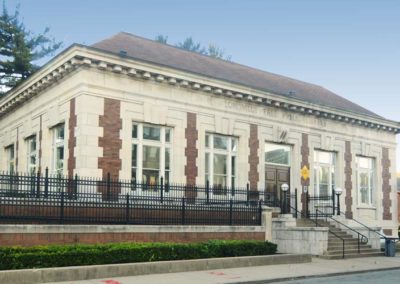
The Western Branch of the Louisville Free Public Library, at 10th St. and Chestnut, America’s first public library open to African-Americans, opened in 1908.

Immediately west of downtown and named for a local African American educator Harvey Clarence Russell Sr. who moved to the area in 1926. Boundaries are W. Market St. on the north, 9th St. on the east, W. Broadway on the south and I-264 on the west.
Courier-Journal article link

advertisment

GALLERY

Phoenix Hill

Phoenix Hill

Phoenix Hill

Phoenix Hill

The area originally known as Uptown was settled by German immigrants and was annexed by Louisville in 1827. It was densely populated by the time of the Civil War.

E. Broadway was once lined with grand residences and commercial structures and was compared to the finest residential boulevards of the world.

Some of the city’s Bloody Monday election day riots occurred in the neighborhood near the St. Martin of Tours church on August 6, 1855 when Protestant mobs attacked German and Irish Catholic neighborhoods. The riots had grown out of a rivalry between two political parties.

After World War II the neighborhood saw decades of mass demolition. The south side of the 800 block is the only almost intact blockface left on E. Broadway. The area today shows very little resemblance of what it had once been.

A last of the city’s municipal street markets closed in 1888 and The Haymarket was established on a block between Jefferson, Liberty, Floyd and Brook Sts. Truck farmers and hucksters, many who were Italian and Lebanese immigrants, sold fruits, vegetables and other products to wholesalers and consumers. In the 1920s the open sheds were covered for weather protection but the Haymarket began its decline in the 1940s with the rise of chain groceries and closed in 1962. The Haymarket district continued until early 2000s, mainly selling Christmas trees and wholesale produce.

Urban renewal claimed a large portion of the western portion of the neighborhood for the largest public housing project ever built in the state in 1939, and again later in the late 1950s for Interstate 65, followed by the medical district expansion.

Today, the area contains the city’s most diverse mix of business, industry and residential. The East Market District, also known as NuLu, is an eclectic mix of restaurants, retail stores, and galleries.

Some late Federal and Italianate structures still exist, with wood-frame shotguns being the most common style.

Some noteworthy sites:
800 E. Chestnut St. at Shelby, former Ursuline Academy Chapel, Romanesque Revival, c. 1867-68
200 block S Clay St., some of the oldest remaining commercial structures downtown.
St. Martin of Tours Catholic Church, 639 S Shelby St., Gothic Revival, c. 1853, had a newer facade added about 1900.

Boundaries are Jefferson St. to the north, Preston St. to the west, Broadway to the south, and Baxter Ave. to the east.

www.phoenixhillna.org

National Register of Historic Places

advertisment

GALLERY

Crescent Hill

Crescent Hill

Crescent Hill

Crescent Hill

The area was originally called “Beargrass” because it sits on a ridge between two forks of Beargrass Creek. Development occurred during the 1850s when the Louisville and Lexington turnpike (Frankfort Ave.) and the Louisville and Frankfort railroad were built through the area.

In 1853 the 38-acre fairgrounds were built and were used to host the Agriculture and Technology fair. In 1883, St. Joseph’s Orphanage moved away from downtown and was built on the site. Around the same time large estate lots began to be subdivided as people moved farther away from the city. Louisville annexed the area in the late 1800s.

An F4 tornado ripped through the middle of the neighborhood in April, 1974.

In the early 1980s the Crescent Hill Community Council formed the Peterson-Dumesnil House Foundation and purchased the house at 301 S. Peterson from the Jefferson County Board of Education.

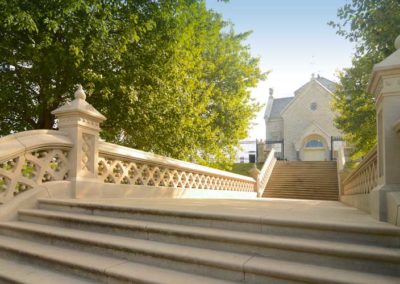
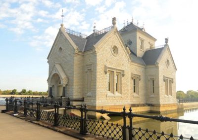
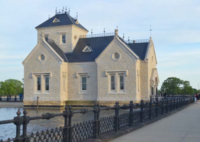
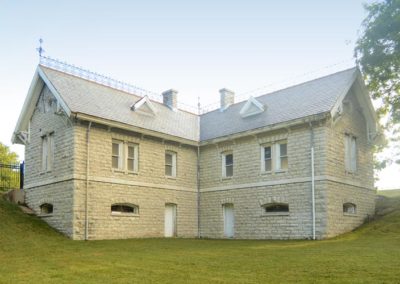
Attractions in Crescent Hill include many popular locally-owned restaurants, bars, shops, and galleries on Frankfort Ave; and the Louisville Water Company Crescent Hill Reservoir, Southern Baptist Theological Seminary, and Peterson-Dumesnil House.

The neighborhood is bounded by Brownsboro Rd. on the north, St. Matthews on the east (roughly Cannons Ln.), Lexington Rd. on the west, and Ewing Ave. on the west.

www.crescenthill.us

Peterson-Dumesnil House

advertisment

GALLERY

Original Highlands

Original Highlands

Original Highlands

Original Highlands

Land originally surveyed in 1774, the “Briar Patch” plantation was established in 1814. 1819 construction of the Louisville and Bardstown Turnpike (Bardstown Rd) attracted German immigrant farmers and the area was known as New Hamburg.

After the Civil War the land was subdivided. Horse-drawn streetcar line was extended from the city to Highland Avenue in 1871. Much of the land was subdivided and developed between 1891 and 1896. Houses were constructed after 1860 but primarily from 1884 to 1895. Buildings from before 1884 were located mostly along Breckinridge (formerly Howard), Christy, Baxter and Barret.

The area was called the Highlands because it sits on a ridge between the middle and south forks of Beargrass Creek, above the Ohio River flood plain. Today eight other neighborhoods in the area on the same ridge are also collectively called The Highlands.

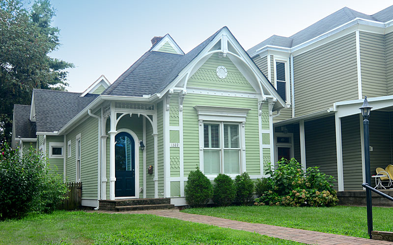
The architecture of the neighborhood is a mixture of large, wood framed, and brick Victorian houses and working class shotgun houses, which are often right next to each other. Queen Anne is a common style of architecture.

Baxter Avenue/Bardstown Road and Barret Avenue commercial corridors include galleries, shops, restaurants, bars, and night life.

The Original Highlands’ boundaries are East Broadway on the north, Bardstown Road/Baxter Avenue on the east, Rufer Avenue on the south and Barret Avenue on the west.

www.facebook.com/Original-Highlands

advertisment

GALLERY

Irish Hill

Irish Hill

Irish Hill

Irish Hill

Originally known as Billy Goat Hill, Irish Hill acquired its name because it’s on a ridge above the Ohio River flood plain, and was settled by Irish Catholics in the mid-1800s, although many German Catholics settled there as well.

During the 1937 flood of the water reached the bottom of the hill and a “pontoon bridge” was located at Baxter Ave. at Lexington Road to help people escape downtown for higher ground. 20,000 people passed through the neighborhood and relocated in the Highlands and Crescent Hill.

From the 1850s until it was demolished in 1968, the City Workhouse, which housed criminals convicted of minor crimes, was located at Lexington and Payne Streets, at what is now Breslin Park, which is across from what is now Distillery Commons, which was originally the Old Kentucky Distillery, which was the largest distillery in the world in its day.

The historic St. Aloysius Catholic Church and School (c. 1890-1996), was the cornerstone for many generations of families of Irish Hill, until the Archdiocese closed the school and church, against the objections of the parishioners and neighbors.

Early neighborhood businesses were the Beargrass Slaughter House, Doll Lumber, Roppel’s Grocery, Stottmann’s Cafe, Otte’s Grocery, Leibert Farm and Seitz’s Drugstore.

In addition to the shotgun houses, there are a few larger historic houses in the area, including the Valentine Schneikert house, and the Nicholas Finzer house, built around 1869. Other historic sites are the St. Aloysius church, and the old Rogers Street fire house (c. 1893 – 1977), all on the National Register of Historic Places.

The neighborhood is bounded by Baxter Ave. to the west, Lexington Rd. to the north, the middle fork of Beargrass Creek, and I-64 to the east. Cave Hill Cemetery is directly south.

www.irishhillneighbors.org

advertisment

GALLERY