California
California
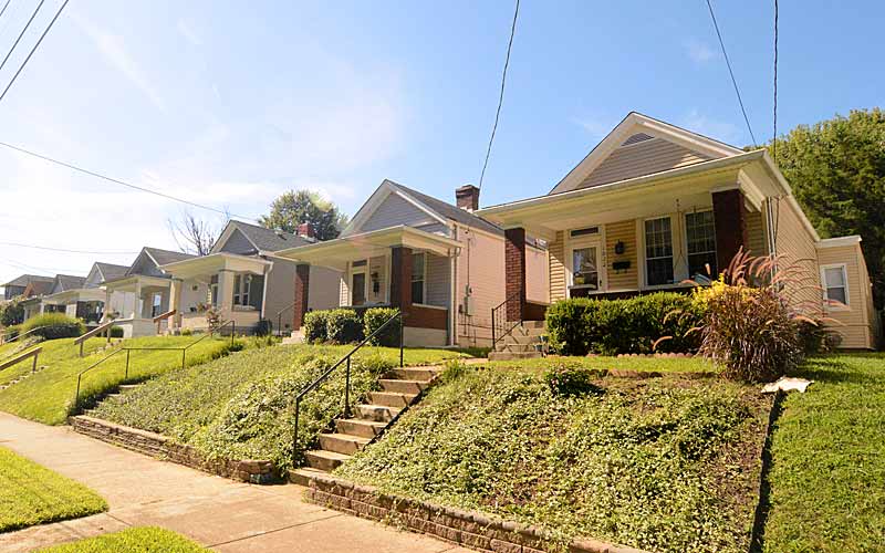
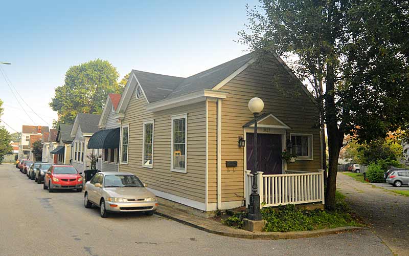
German immigrants began moving into the area in the late 1840s, subdividing the farmland and building mostly wood-framed shotgun houses. Originally the area was known as Henderson, but it came to be known as California during California’s Gold Rush days because it was at the southwestern edge of Louisville. The neighborhood grew between two of the three railroad lines that traveled across the Ohio River in Louisville.
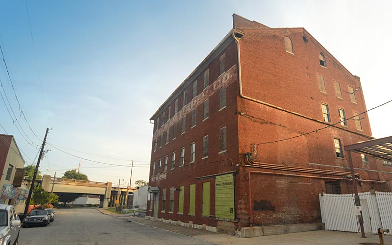
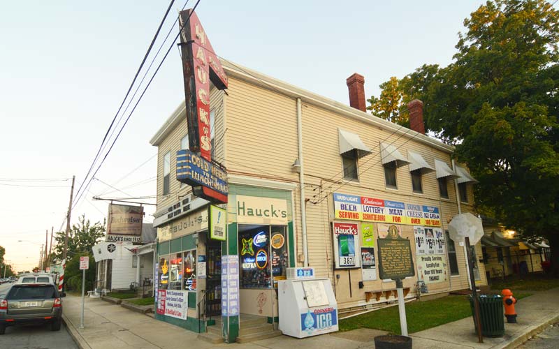
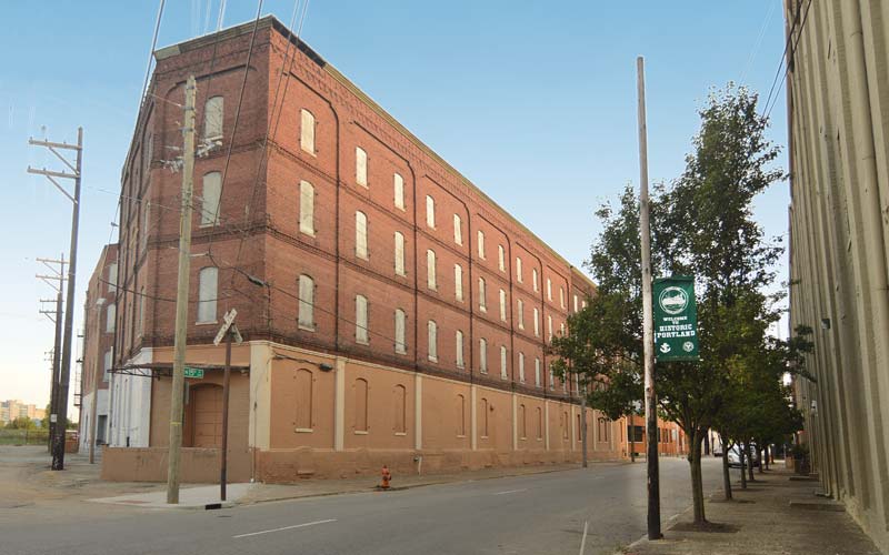
Early on the area was a dense combination of simple working-class homes mixed with a wide range of commercial use buildings. It became Louisville’s manufacturing and industrial heartland, employing thousands of people that produced products shipped by rail and used by millions of Americans.
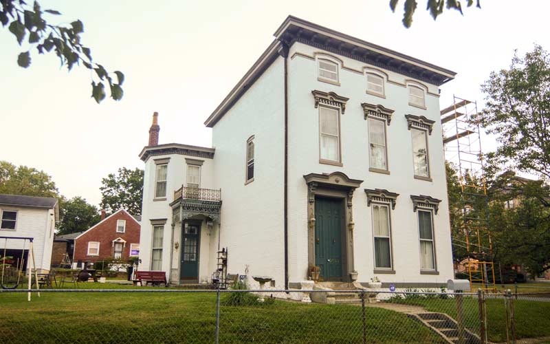
African-Americans settled into the area after the Civil War. The early population was a dense mix of whites and blacks living in shotguns, with large mansions built by wealthy industrialists along Broadway, but many white families began leaving the older homes in the early 1900s as the western edge of the neighborhood expanded with an early example of suburban sprawl.
The neighborhood lost 50% of its population and single-family housing from 1950 to 1980. With the shift in manufacturing trends after World War II, along with urban renewal, the area became best known for its urban decay.
A small commercial district once existed around 18th St. (Dixie Hwy.) and Oak. St. just south of where the Brown-Forman Corporation headquarters and warehouses are located today.
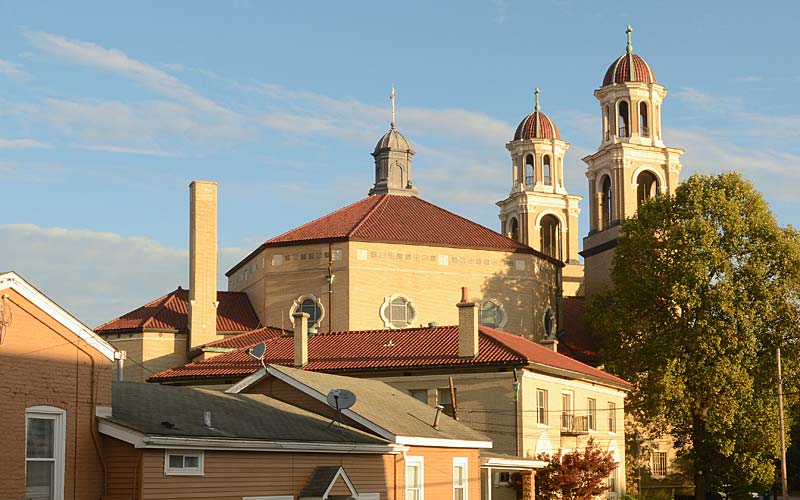
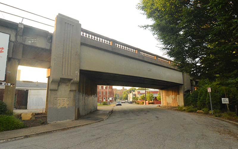
Bounded by Broadway on the north, 9th St. on the east, Oak St. on the south, and 26th St. on the west.
GALLERY
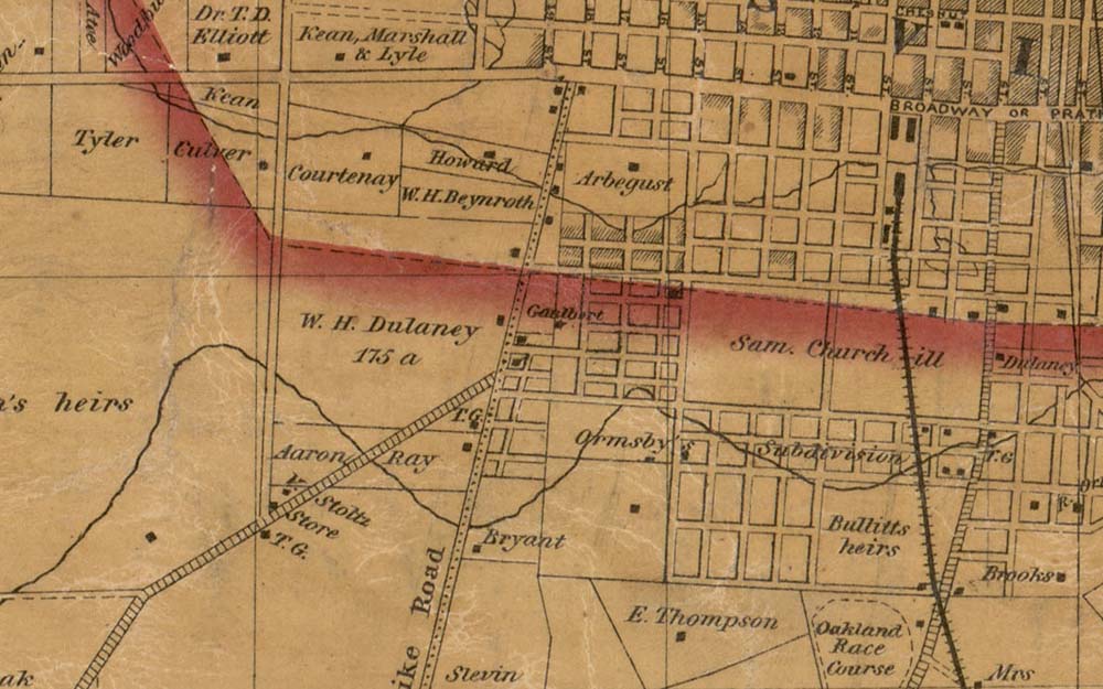
Bergmann 1858 map
Earliest map of neighborhood
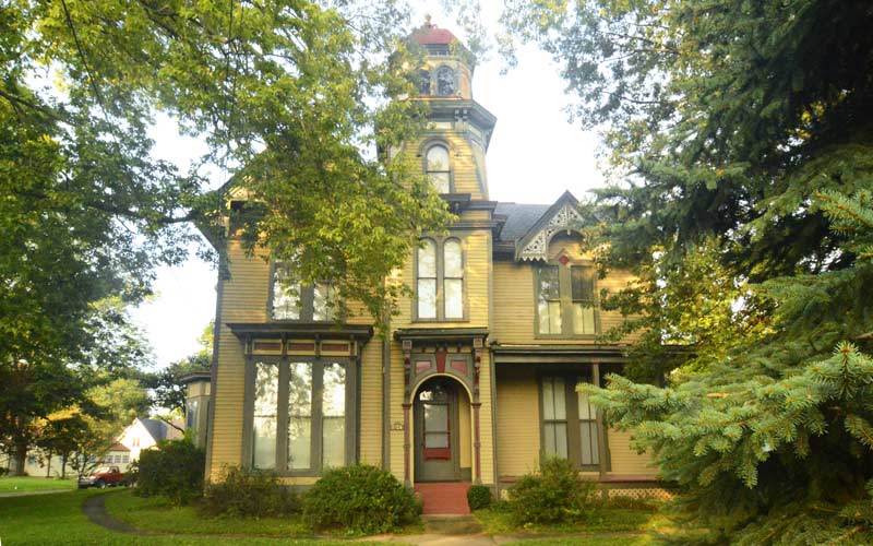
California
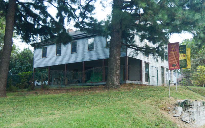
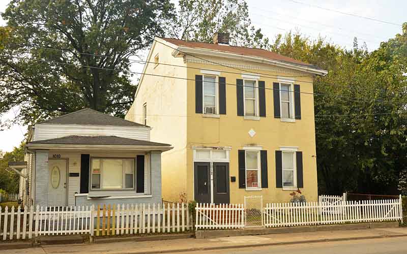
Neighborhood residence
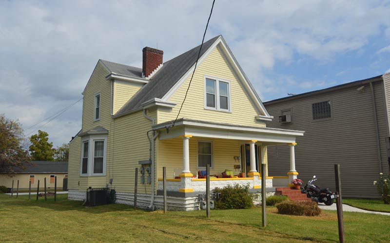
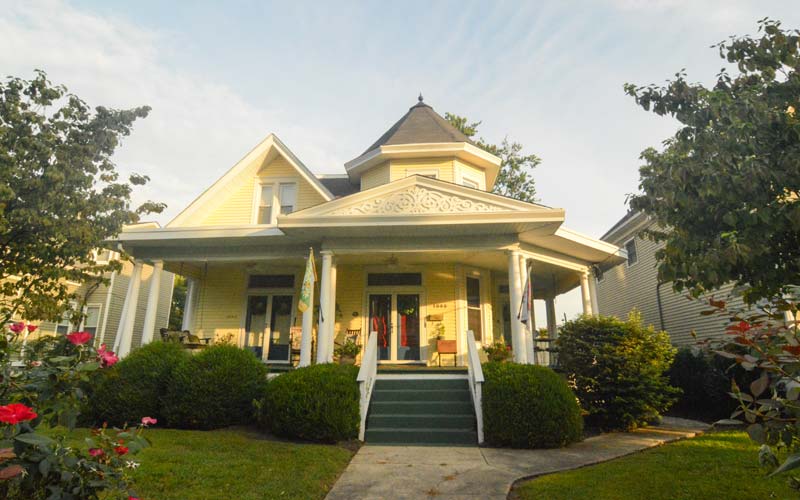
California
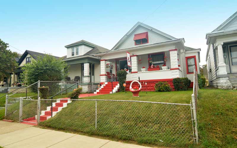
Neighborhood residence
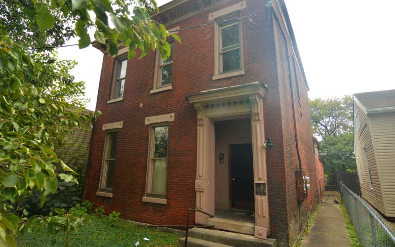
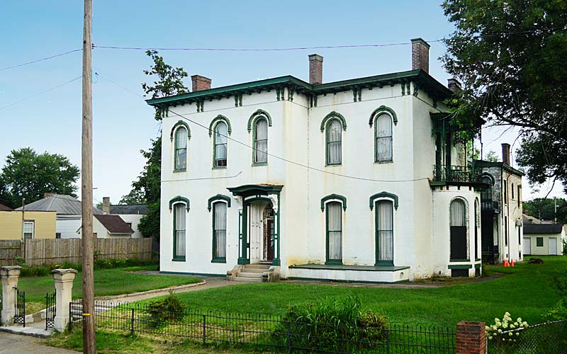
Italianate-style
1526 Garland Ave.
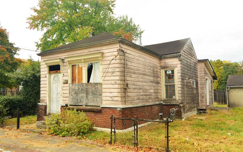
Wood frame shotgun
Whiskey fungus from distilleries
Stitzel Brothers Distillery, c. 1918
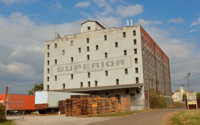
2501 Maple St.
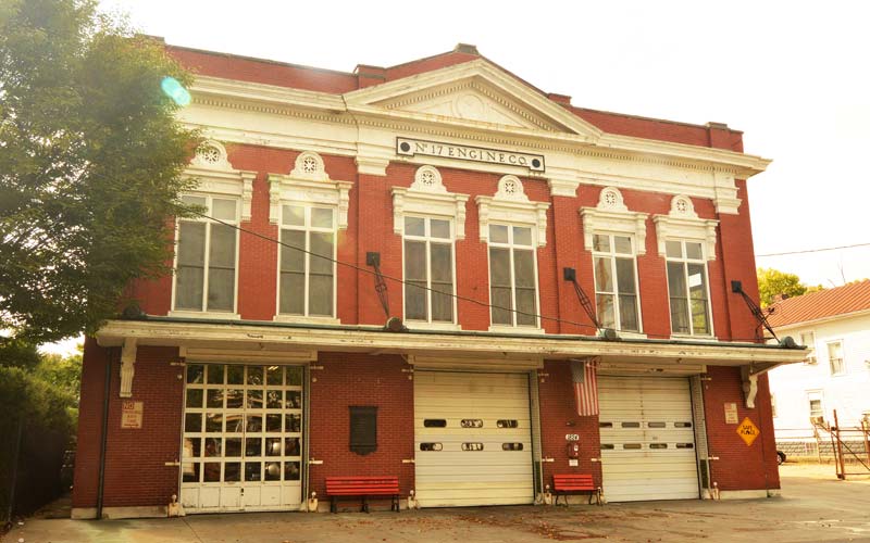
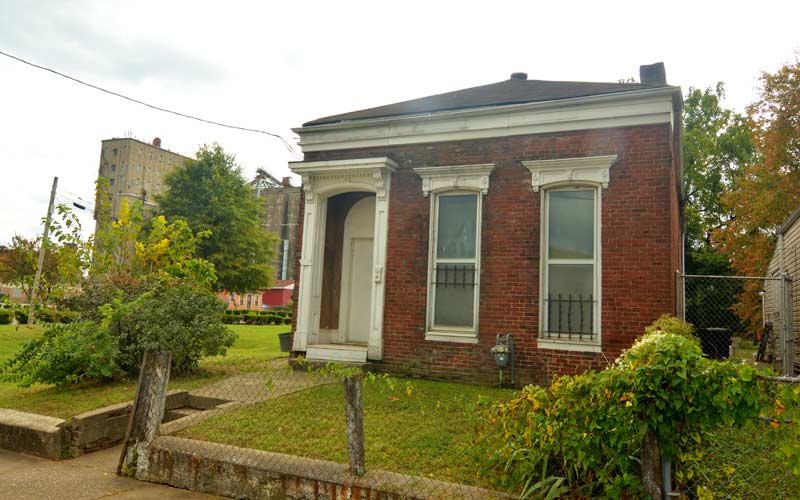
Fire station
Garland Ave. near 18th St.
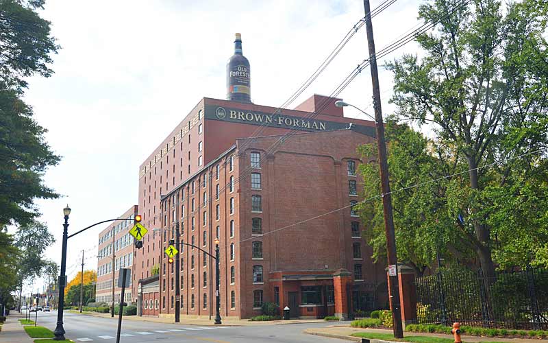
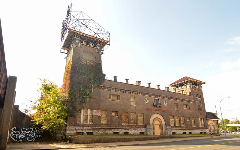
Brown-Forman
Bourbon Bottle Water Tower
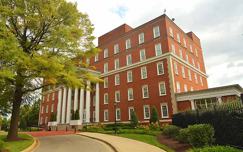
Brown-Forman
Corporate headquarters
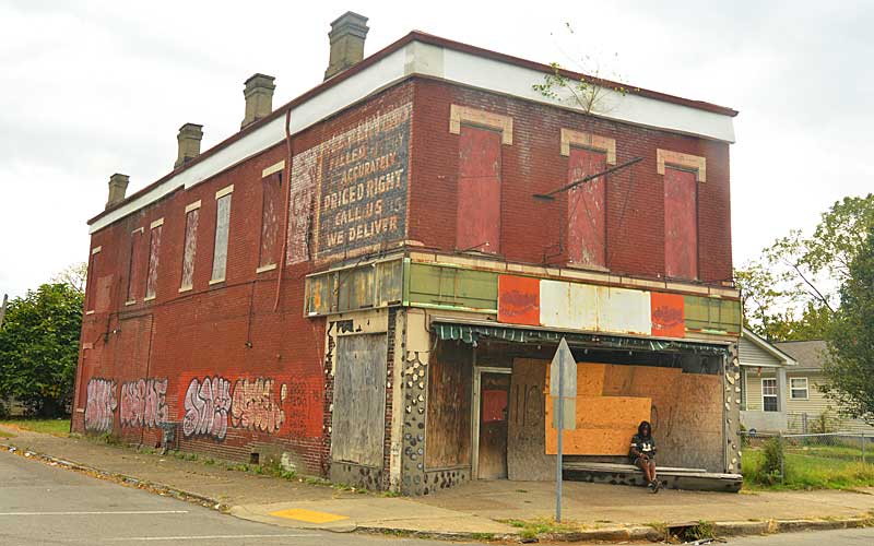
Drug store
Dixie Hwy @ St. Catherine St.
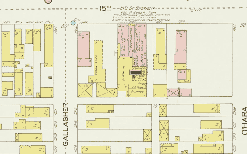
Early 1900s map
Showing pre-prohibition 15th St Brewery.
Brick shotgun
Prentice St. near 15th St.
Whiteside Bakery
Broadway @ 14th St.
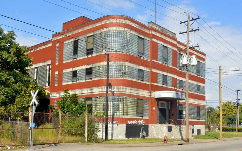
Bernheim Distillery Bottling Plant
Bernheim Distillery Bottling Plant 822-828 S. 15th St., Moderne-style, c. 1925-1949
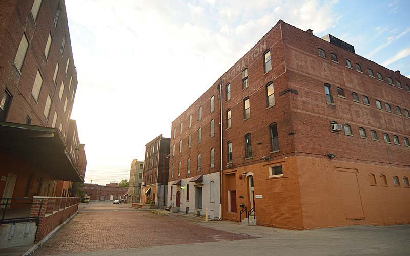
W. Oak St.
Near 11th St.
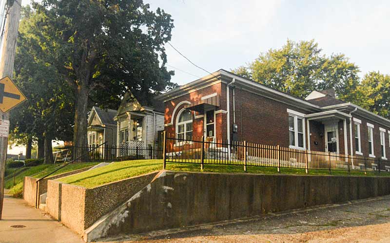
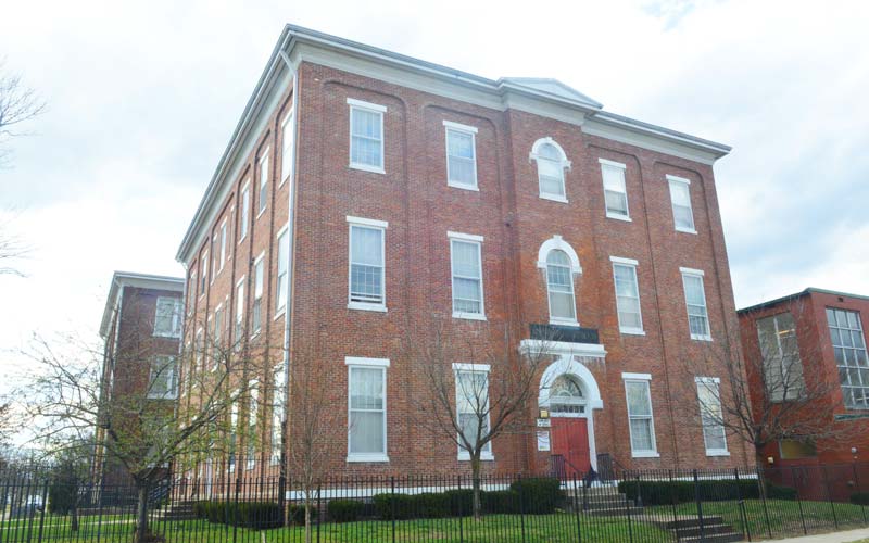
California
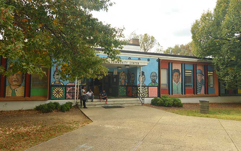
Community Center