New Albany

New Albany

New Albany

New Albany

Located across the Ohio River, below the Falls of the Ohio, in southern Indiana. One of the six original settlements at the Falls of the Ohio which included Clarksville, Jeffersonville, Louisville, Portland and Shippingport.

The Scribner brothers arrived from New York in 1813 and named the town in honor of the capital of their home state. One of the Scribner houses, built c. 1814, is still standing at the southeast corner of Main and State Sts. The area became a transportation and ship building center.

Before the locks were completed on the Louisville side of the Ohio River in 1830, the river’s influence established New Albany as one of the largest cities in the midwest. The most lavishly furnished steam boats were built in New Albany. The first plate glass windows in the U.S. were produced here.

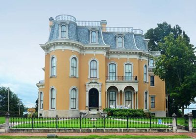
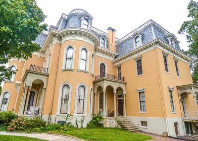
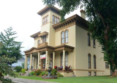
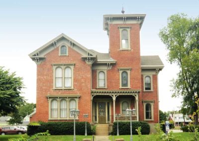
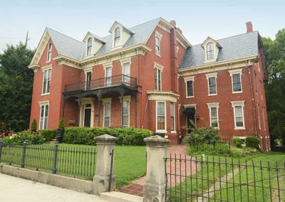
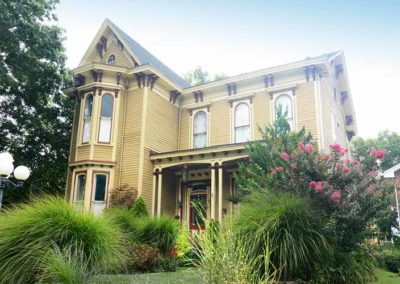
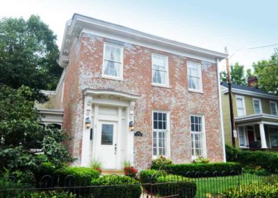
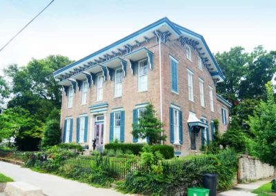
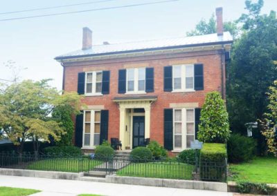
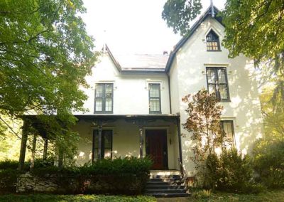
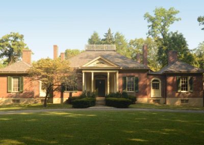
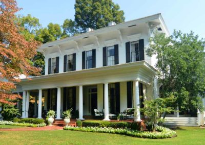
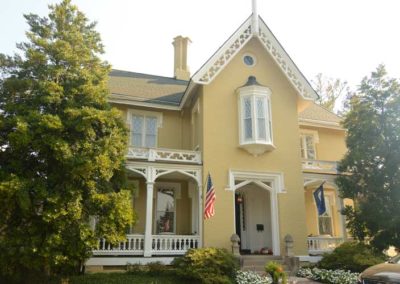
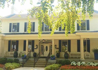
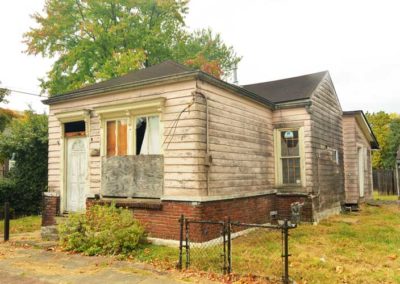
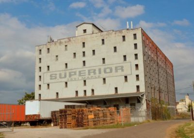
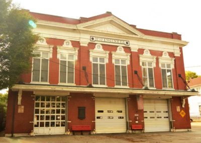
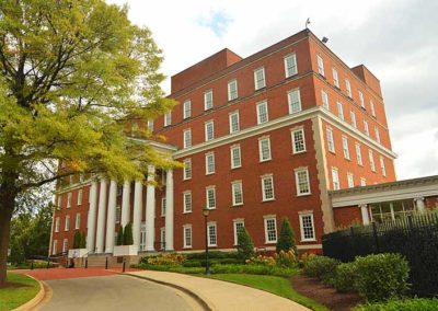
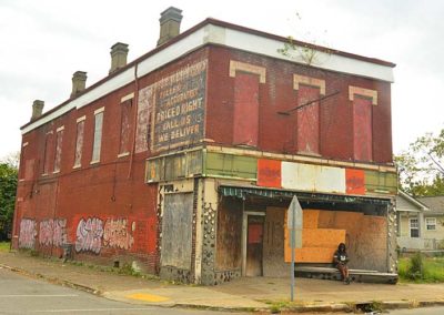
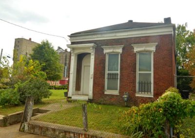
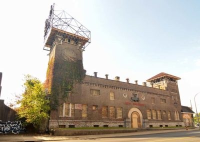
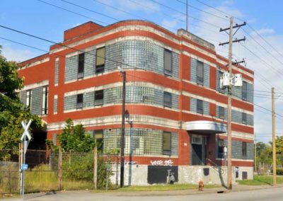
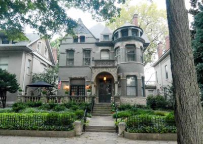
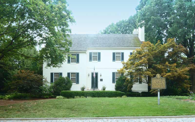
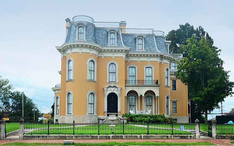
New Albany is significant for its excellent examples of 19th century commercial and residential architecture.

Mansion Row on E. Main St. is an outstanding collection of 19th and early-20th century architecture. Downtown contains a significant collection of commercial buildings, dating from the first half of the 1800s to the 1950s. A wide range of architectural styles are represented, including Federal, Greek Revival, Italianate, Renaissance Revival, Beaux Arts, Neoclassical and Chicago Commercial.

In addition to the Mansion Row several other neighborhoods in New Albany are on the National Register, they include Downtown, East Spring St., Cedar Bough, Shelby Place, DePauw Ave., Hedden’s Grove, and the Long-Graf House.

East Spring St. district is just east of the central business district and was a middle- to upper-class neighborhood. The Cedar Bough Place district is a short private street that runs between Ekin Ave. and Beeler St. and was considered one of the city’s most prestigious addresses. The Long-Graf House is a Queen Anne-style house at 1945 E. Elm St.

New Albany Historic Preservation Commission
New Albany – Floyd County Public Library
advertisment

GALLERY

St. Matthews

St. Matthews

St. Matthews

St. Matthews

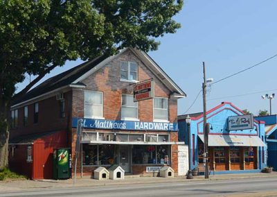
Floyd’s Station was established by Col. John Floyd in 1779 as protection from Indian attacks and was located along the middle fork of the Beargrass Creek near today’s Breckenridge Ln. in St. Matthews.

The Louisville and Lexington Turnpike was a stagecoach route connecting the eastern part of the state to the Ohio River and is known today as Shelbyville Rd and Frankfort Ave. Paralleling that, the Louisville and Frankfort Railroad was completed in 1849 when the area had already become known as Gilmans’s Point, being named for the tavern owner. The area’s first post office was opened in 1851 and image-conscious residents decided to name the community after the Episcopal church, established there in 1839.

The area was farmland until 1893 when the first subdivision was planned. In 1901 the interurban train connected St. Matthews and Louisville, while the area was well known for its cockfighting establishments and potato farms. The St. Matthews Potato Exchange located on the rail line was the second largest potato shipper in the nation before it closed in 1946.

Housing booms in the 1920s, and after the 1937 flood, brought a new type of suburban shopping to the area. In the three decades between 1940 and 1970 a large business district developed along Lexington and Shelbyville Rds. and Frankfort Ave. to serve the expanding suburbs.

The original town’s center is a vibrant restaurant and bar district today, while suburban sprawl continues its creep eastward provided by automobile dependance.

St. Matthews is a large irregularly shaped city centered at the intersection of Breckenridge Ln., Chenoweth Ln., Westport Rd., Lexington Rd., Frankfort Ave., and Shelbyville Rd.

St. Matthews Historical Society

advertisment

GALLERY

California

California

California

California neighborhood

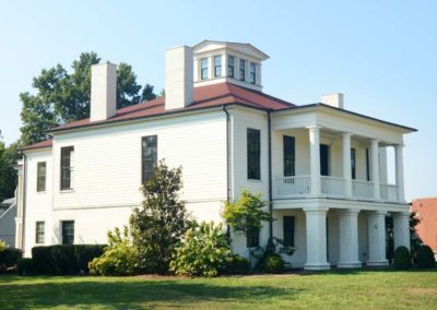
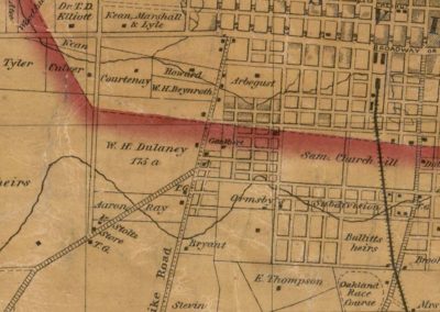
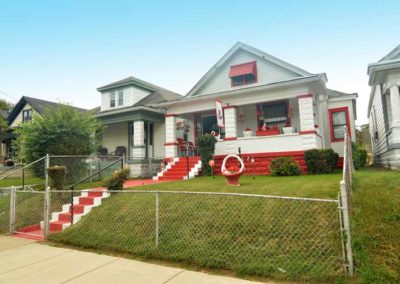
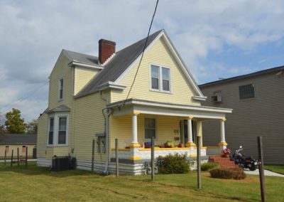
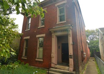
German immigrants began moving into the area in the late 1840s, subdividing the farmland and building mostly wood-framed shotgun houses. Originally the area was known as Henderson, but it came to be known as California during California’s Gold Rush days because it was at the southwestern edge of Louisville. The neighborhood grew between two of the three railroad lines that traveled across the Ohio River in Louisville.

Early on the area was a dense combination of simple working-class homes mixed with a wide range of commercial use buildings. It became Louisville’s manufacturing and industrial heartland, employing thousands of people that produced products shipped by rail and used by millions of Americans.

African-Americans settled into the area after the Civil War. The early population was a dense mix of whites and blacks living in shotguns, with large mansions built by wealthy industrialists along Broadway, but many white families began leaving the older homes in the early 1900s as the western edge of the neighborhood expanded with an early example of suburban sprawl.

The neighborhood lost 50% of its population and single-family housing from 1950 to 1980. With the shift in manufacturing trends after World War II, along with urban renewal, the area became best known for its urban decay.

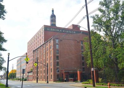
A small commercial district once existed around 18th St. (Dixie Hwy.) and Oak. St. just south of where the Brown-Forman Corporation headquarters and warehouses are located today.

Bounded by Broadway on the north, 9th St. on the east, Oak St. on the south, and 26th St. on the west.

advertisment

GALLERY

St. James-Belgravia Historic District

St. James-Belgravia Historic District

St. James-Belgravia Historic District

Belgravia Court

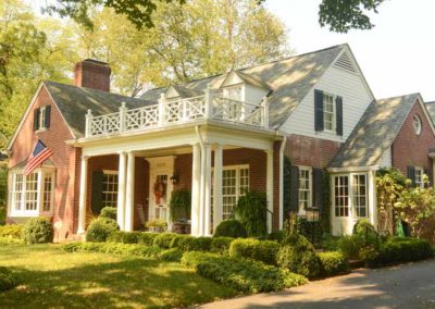
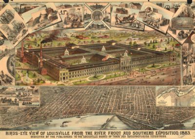
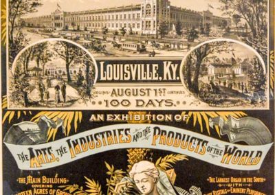
In 1883, the Southern Exposition of Art, Industry, and Agriculture opened for a five year run on the 40 acre grounds that extended from Park Ave. to Hill St. and from 4th to 6th Sts. The main two-story 600 x 900 sq. ft. wood-framed main building was on the present site of St. James, Fountain, and Belgravia Courts. The marvel of the exposition was the largest ever display of electric lighting, 4600 Edison incandescent bulbs. One million people visited the exposition over five years.

After the Southern Exposition closed and was disassembled in 1887 the area was subdivided to include center greens, three walking courts, and a fountain imported from New England. The original fountain was replaced in the 1970s.

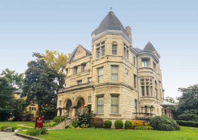
The Conrad-Caldwell House Museum, also known as Conrad’s Castle, is the most stunning of Old Louisville’s homes and defines Richardsonian Romanesque architecture. The house was built for a Frenchman who made his fortune in the leather tanning business. The St. James Court Historic Foundation purchased the home in 1987, restored it, and operates the museum today.

The St. James Court Art Show is a juried fine arts and fine crafts show held the first weekend of October that began in 1957 as neighborhood artists displayed art on a clothesline in the center greens, and has turned into one of the biggest and best in the nation, attracting the largest crowds for any event in Kentucky.

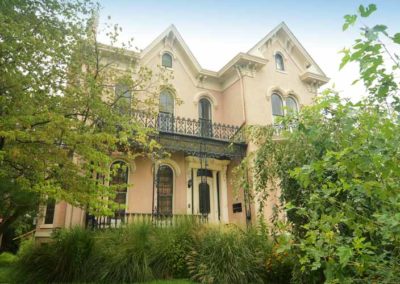
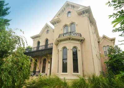
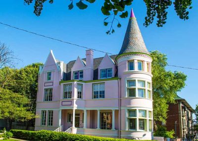
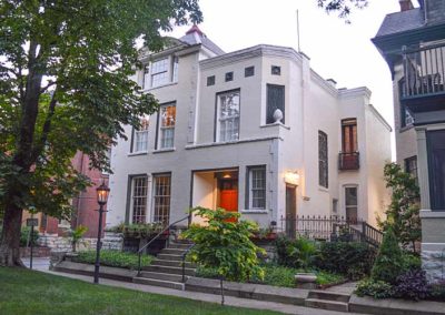
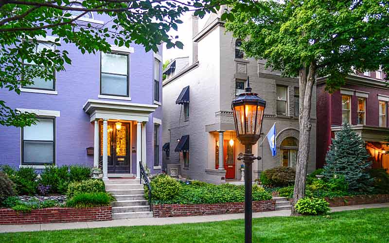
The châteauesque-style Pink Palace at Saint James & Belgravia Cts., and the beaux arts-style mansion at Belgravia Ct. & 4th St., should not be missed on a walking tour of the neighborhood. Tours are available through the Old Louisville neighborhood from several different guides.

The St. James Court Neighborhood Association and the Belgravia Court Association manage the preservation and upkeep of Louisville’s most elegant neighborhood.

www.oldlouisville.org

advertisment

GALLERY

Zachary Taylor House
Zachary Taylor House
Zachary Taylor House
Springfield
Springfield was the boyhood home of the twelfth President of the United States, Zachary Taylor who lived there from 1790 to 1808, held his marriage there in 1810, five of his six children were born in the house, and he returned there periodically for the remainder of his life.

Zachary Taylor’s father, Colonel Richard Taylor, purchased a 400-acre farm on the Muddy Fork of Beargrass Creek in 1785, when Zachary was eight months old. They had originally lived in a log cabin on the property, and within five years Richard Taylor using slave labor built the house at the highest point on his property, naming it “Springfield”. By 1800 he had purchased an additional three hundred acres.

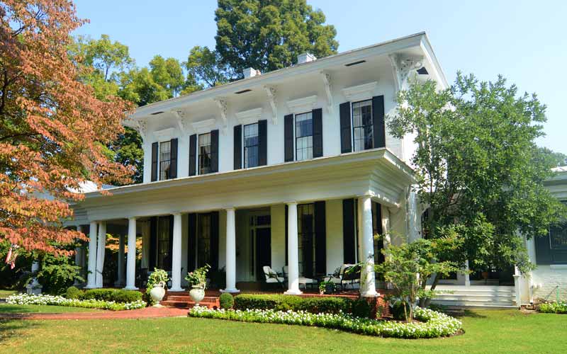
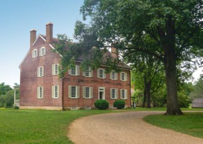
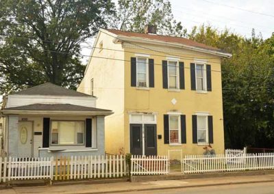
Springfield is a  2 1⁄2-story Georgia Colonial brick L-shaped house. The western section of the house was built around 1790. The eastern section was built between 1810 and 1830.

Major additions and changes include Victorian era porches, the altered staircase direction, and eaves with bracketed cornices.

The property was adjacent to Locust Grove, the farm where George Rogers Clark lived from 1809 until his death in 1818. Before he began his military career in 1808, Zachary Taylor lived in the house for twenty years.

The house was sold after Richard Taylor’s death in 1829. After his death in 1850, Zachary Taylor was buried in the family cemetery located on the property. This later became the original section of Zachary Taylor National Cemetery.

Much of the original 700 acre property remained together until the 1950s when it was subdivided. Today the property is 3/4 of an acre.

The house suffered major wind and water damage during the April 3, 1974 tornado, including the two porches and the roof being blown off.

Due to the proximity of the surrounding neighborhood buildings attempts to make the property a National Historic Site have failed.

The Taylor home is currently a private residence and not open to the public.

Kentucky Historical Society
National Park Service

advertisment

GALLERY