Bowman Field

Bowman Field

Bowman Field

Bowman Field

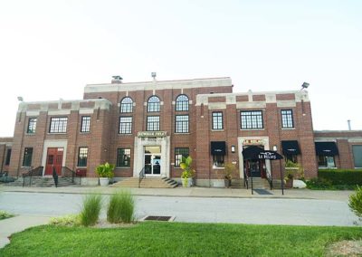
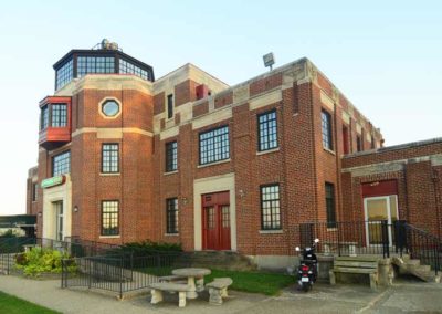
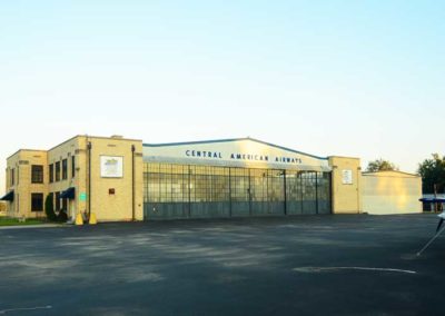
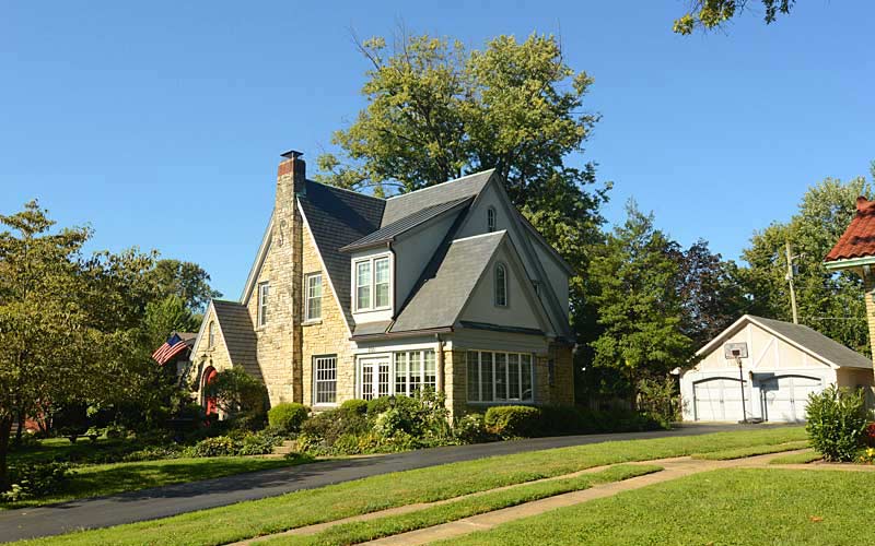
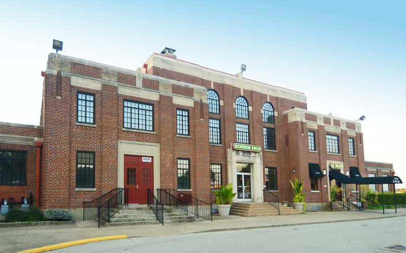
Charles Lindbergh landed the Spirit of St. Louis at the airport in 1927. During the 1920s and 1930s, Eastern Air Lines, Trans World Airlines and Continental Airlines were among the commercial airlines that served there until 1947 when Standiford Field opened. During World War II, Bowman Field was the nation’s busiest airport. The oldest continually operating commercial airfield in North America.

www.flylouisville.com/bowman-field

advertisment

GALLERY

Parkland

Parkland

Parkland

Parkland

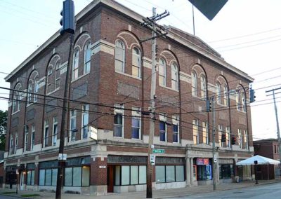
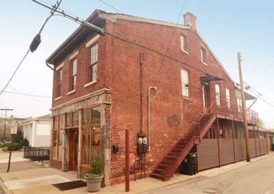
The Parkland Business Preservation District was developed as the commercial hub for another one of the city’s early suburbs. In 1871, over a thousand lots were auctioned off and by the 1880s the new street grid and mule-drawn streetcars had given the area an urban character. Elegant mansions were built by affluent whites who ran the city and regulated the types of businesses allowed there to make it a more desirable place to live.

On March 27, 1890 one of the most powerful tornados in Jefferson County destroyed most of Parkland’s buildings, to survived the town agreed to be annexed by Louisville in 1894 and the area was rebuilt and expanded.

A section of the neighborhood just southwest of central Parkland was known as Little Africa, and like the other all-black neighborhoods in the city, Smoketown and California, most families lived in wooden shacks and shanties. By the early twentieth century opportunities and improvements had created better living conditions for the residents there.

By the 1950s the business district had expanded and featured everything young post World War II suburbanites needed, gas stations, department stores, a grocery, theaters, bakeries, hardware stores, a bank, and a record store.

On May 28, 1968, disaster struck again when African American civil rights activists started raced riots and Parklands’s stores were vandalized. Residents, business developers, and city officials have tried to revitalize the business district, which is surrounded by a National Register District of over four hundred residences.

Its boundaries are W. Broadway on the north, 26th St. on the east, Woodland Ave. on the south, and 34th St. on the west.

Louisville Historic Preservation & Urban Design

advertisment

GALLERY

Phoenix Hill

Phoenix Hill

Phoenix Hill

Phoenix Hill

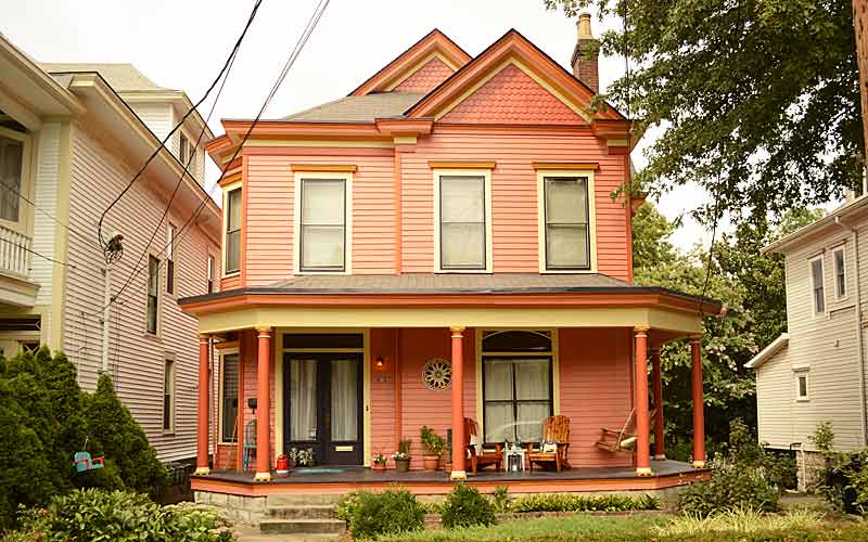
The area originally known as Uptown was settled by German immigrants and was annexed by Louisville in 1827. It was densely populated by the time of the Civil War.

E. Broadway was once lined with grand residences and commercial structures and was compared to the finest residential boulevards of the world.

Some of the city’s Bloody Monday election day riots occurred in the neighborhood near the St. Martin of Tours church on August 6, 1855 when Protestant mobs attacked German and Irish Catholic neighborhoods. The riots had grown out of a rivalry between two political parties.

After World War II the neighborhood saw decades of mass demolition. The south side of the 800 block is the only almost intact blockface left on E. Broadway. The area today shows very little resemblance of what it had once been.

A last of the city’s municipal street markets closed in 1888 and The Haymarket was established on a block between Jefferson, Liberty, Floyd and Brook Sts. Truck farmers and hucksters, many who were Italian and Lebanese immigrants, sold fruits, vegetables and other products to wholesalers and consumers. In the 1920s the open sheds were covered for weather protection but the Haymarket began its decline in the 1940s with the rise of chain groceries and closed in 1962. The Haymarket district continued until early 2000s, mainly selling Christmas trees and wholesale produce.

Urban renewal claimed a large portion of the western portion of the neighborhood for the largest public housing project ever built in the state in 1939, and again later in the late 1950s for Interstate 65, followed by the medical district expansion.

Today, the area contains the city’s most diverse mix of business, industry and residential. The East Market District, also known as NuLu, is an eclectic mix of restaurants, retail stores, and galleries.

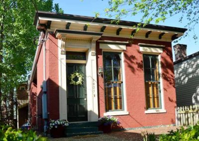
Some late Federal and Italianate structures still exist, with wood-frame shotguns being the most common style.

Some noteworthy sites:
800 E. Chestnut St. at Shelby, former Ursuline Academy Chapel, Romanesque Revival, c. 1867-68
200 block S Clay St., some of the oldest remaining commercial structures downtown.
St. Martin of Tours Catholic Church, 639 S Shelby St., Gothic Revival, c. 1853, had a newer facade added about 1900.

Boundaries are Jefferson St. to the north, Preston St. to the west, Broadway to the south, and Baxter Ave. to the east.

www.phoenixhillna.org

National Register of Historic Places

advertisment

GALLERY

Clifton

Clifton

Clifton

Clifton

Named for the hilly location on the Ohio River valley escarpment. The Louisville and Shelbyville Turnpike (c. 1818) was built upon a high ridge, on a trail originally formed by migrating buffalo, it followed the path of what is now Frankfort Ave. By the 1830s, Clifton was mostly farmland. In the late 1840s, construction of the Louisville and Frankfort Railroad converged at what became the heart of Clifton and followed a path parallel to the toll road east. Both of these events shaped the historic and architectural continuum in Louisville’s development eastward.

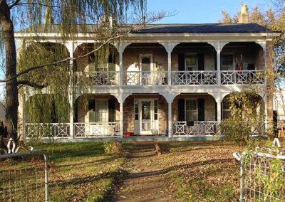
The earliest residences were farmhouses or rural retreats for the wealthy and pre-date any formal grid street pattern. Most of the houses were constructed from 1870 to 1930 and share consistent lot size and styles with adjacent houses.

Clifton’s earliest building is the Three Mile Tollhouse (c. 1830), where the tollgate keeper lived. In the early 1900s, it served as a police substation/jail, and has housed restaurants since 1933.

The Rastetter House (c. 1845) is the earliest surviving farmhouse in the area. Unfortunately, all traces which reflect antebellum farmhouse styles were compromised by extensive alterations. The main entrance was re-oriented away from the old turnpike and now faces Payne St.

Adding to the patina of the Clifton neighborhood are a variety of textures that include brick streets and sidewalks, limestone curbs, iron fences, stone walls, and the Chicken Steps. There were several quarries in the area that were active in the late 1800s until the early 1900s, none are used for their original purpose, but the quarry walls are still visible.

Commercial buildings in the neighborhood run the spectrum of architectural styles popular between the years 1830 to the 1950s, but beginning in the 1920s buildings no longer had a “zero-setback” from the sidewalk, and instead were set back to allow for “front yard parking”. In addition, business owners often demolished adjacent buildings to accommodate more automobile parking, it is the evidence of the evolution of the Frankfort Ave. corridor from a pedestrian-oriented street to the automobile-oriented corridor that it is today.

The area has been revitalized since the 1990s, as restaurants, boutiques, and small shops have opened along the Frankfort Ave corridor.

Clifton is bounded by Brownsboro Rd. on the north, N. Ewing Ave. on the east, I-64 on the south, and Mellwood Ave. on the west.

Noteworthy sites:
Kentucky School for the Blind & the American Printing House for the Blind 1867 Frankfort Ave.
Albert A. Stoll Firehouse (The Silver Dollar), 1761 Frankfort Ave.
Spect’s Saloon (Bourbons Bistro), Italianate, c. 1887, 2255 Frankfort Ave.
Widman’s Saloon & Grocery (Irish Rover Pub) Italianate, c. 1858, 2319 Frankfort Ave.
Three Mile Tollhouse (Ray Parella’s) Federal vernacular, c. 1830,  2311 Frankfort Ave.
St. Frances of Rome School (Clifton Center), 2117 Payne St.
Rastetter House (private residence), c. 1845, 2213 Payne St.

www.cliftonlouisville.org

Louisville Historic Preservation & Urban Design
advertisment

GALLERY

Strathmoor

Strathmoor

Strathmoor

Limerick

Small cities and neighborhoods centered around Bardstown Rd., between I-264, Taylorsville Rd., and Lakeside Dr. in the upper Highlands.

Strathmoor Manor, Strathmoor Village, Strathmoor Gardens, Kingsley and Wellington make up an area loosely referred to as Strathmoor in the area near Bardstown Rd., and just south of Taylorsville Rd., near Bowman Field.

Strathmoor Gardens was annexed by the City of Strathmoor Village in 1993, part of the saga of suburban politics.

The building styles are very eclectic, and signaled the beginning of the end of old-fashioned craftsmanship in building arts in Louisville as more mass produced products became readily available.

Strathmoor Manor, to the south of Bardstown Rd. was created in the 1920’s and was advertised as an ‘airplane subdivision’, given it’s proximity to Bowman Field, the oldest continually operating commercial airfield in North America.

All of the homes share a common historical element of being created in the age of the automobile.

advertisment

GALLERY