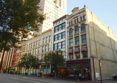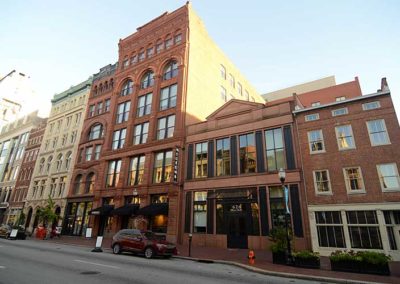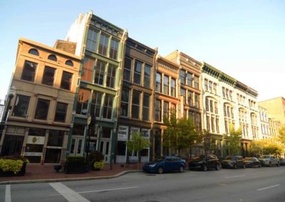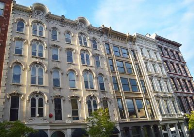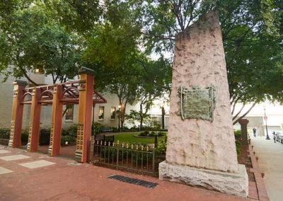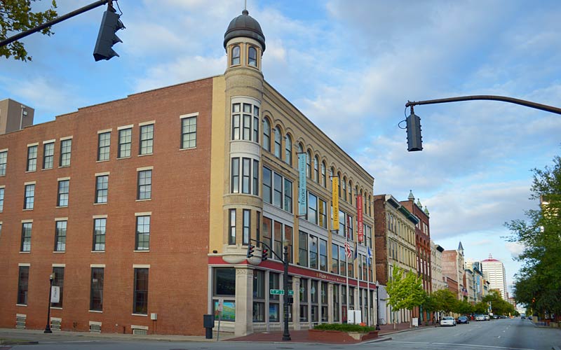
West Main Street

West Main Street

West Main Street

West Main Street

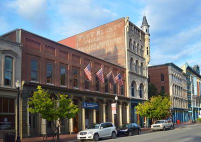
Fort Nelson, built in 1781, was the second on-shore fort in what is now Louisville, in response to continuing attacks from Native Americans and the threat of British attacks during the Revolutionary War. The fort was constructed between today’s Main St. and the river, with a main gate near Seventh St.

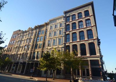
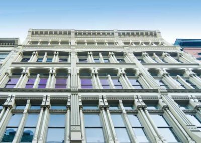
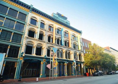
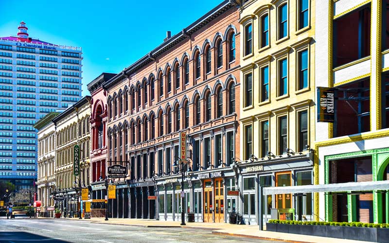
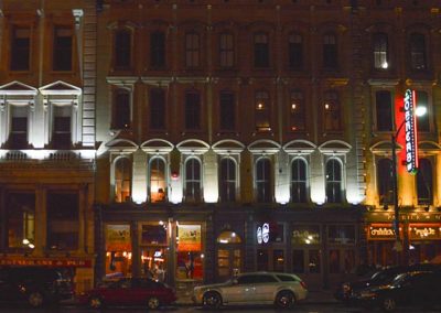
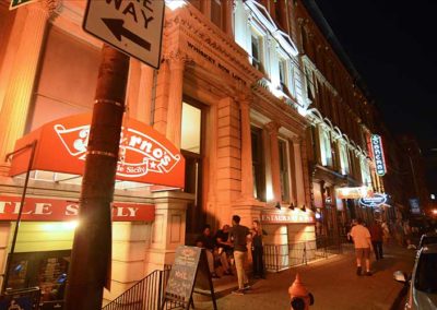
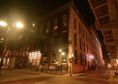
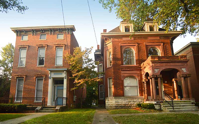
Starting in the 1850s, many taller buildings with decorative cast-iron façades were built, making it the largest collection of cast iron façades in the U.S., rivaled only by New York’s SoHo neighborhood and Portland, Oregon.

The development of the area was aided by its proximity to the river and the Falls of the Ohio. Steamboat traffic stopped to unload passengers and cargo. Warehouses for manufacturing and storing goods, including tobacco and whiskey, where built in the area.

With the growth of railroads, and a decline in river traffic, commercial activities moved south along 4th St. and came to center around Broadway.

The 1970s brought the beginning of revitalization of Main St. with the new Galt House Hotel and Riverfront Plaza.

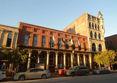
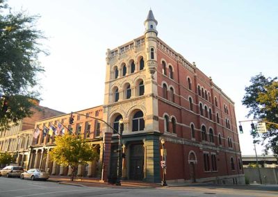
The St. Charles Hotel, opened in 1869, still stands today at the S.E. corner of Main & 7th. it is one of the oldest buildings on W. Main. St. Actors Theatre in the 300 block of W. Main is another one.

The West Main District, one of the five districts downtown, includes the 800-600 blocks of W. Main and the southern side of the 500 block, and includes Museum Row, ten tourist attractions within four walkable blocks.

The Main Street Visitors Center is located at 627 West Main Street.
Hours are seasonal: Monday through Friday, 11 am to 3 pm, weather permitting.

Main Street Association
Louisville Downtown Partnership
Louisville Historic Preservation & Urban Design

advertisment

GALLERY

Farnsley-Moremen

Farnsley-Moremen

Farnsley-Moremen

Farnsley-Moremen

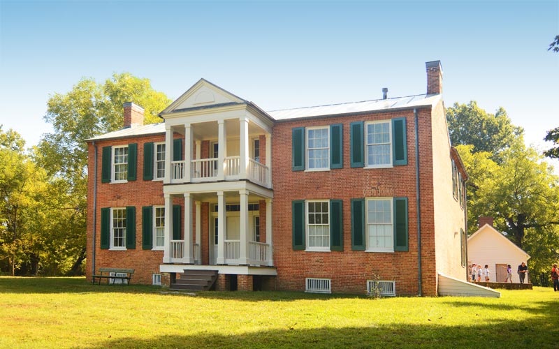
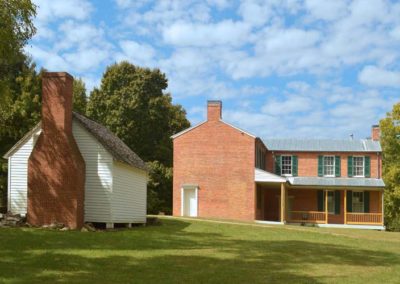
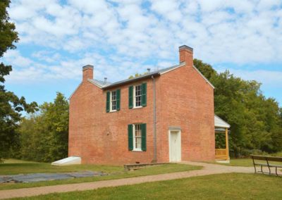
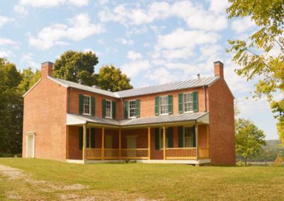
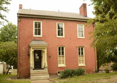
A centerpiece of a 300-acre historic site, called Riverside, the Farnsley-Moremen Landing house, circa 1837, stands as a testament to the important role agriculture played along the river in the development of our country.

Two upper-middle-class farming families, the Farnsleys, and later, the Moremens, brought the Riverside property to life by cultivating the fields and trading on the river. In the 19th century, the Ohio River served as one of America’s superhighways and the families who lived at Riverside took advantage of their location.
From around 1820 until 1890, an active riverboat landing on this property allowed people traveling by river to stop to trade goods, to take on boilerwood for fuel, or to rest. In addition, a ferry operated out of Riverside carrying people and goods back and forth between Indiana and Kentucky.

The Farnsleys built the two-story brick “I” house, with a Greek Revival portico, by 1837 and prospered at the Ohio River farm, 13 miles downriver from Louisville.

The Moremens purchased the land in 1862 and acquired additional surrounding properties bringing the size of the farm to 1,500 acres, the largest farm in Jefferson County, at the time. Moremen family descendants owned the property until 1988 when they sold the house and remaining acreage to Jefferson County.

Grounds are open sunrise to sunset seven days a week, year-round.
Visitors Center Open Tuesday – Saturday from 9 am to 5 pm.

Visitors are offered guided tours of the house and grounds.
Tuesday – Saturday, 10:00 am to 4:30 pm, year-round.
Sundays, 1 pm to 4:30 pm (March – November). Closed on Sundays – December through February.
Tours begin in the Visitors Center at half past the hour. The last tour is at 3:30 pm.

$6/Adults; $5.00/Seniors (60+); $3/Children (ages 6-12); Children 5 and under are free. Family Rate: $15.00 (2 adults with up to 3 children under age 18).

Riverside, the Farnsley-Moremen Landing

advertisment

GALLERY

Whiskey Row

Whiskey Row

Whiskey Row

Whiskey Row
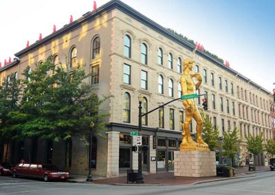
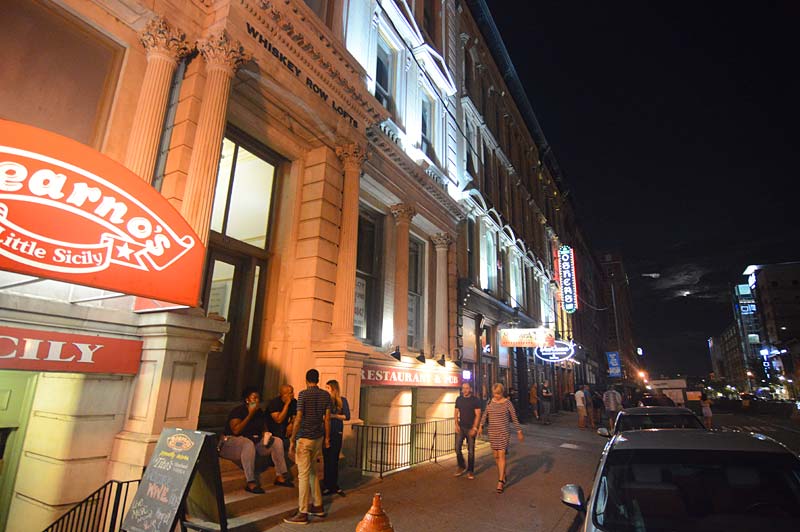
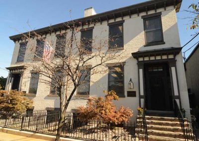
A one block-long entertainment district in the 100 block of W. Main St., and Washington St to the north. Once used as offices and warehouses for the bourbon and tobacco industries. The collection of Revivalist and Chicago School-style buildings, many with cast-iron storefronts, were built between 1852 and 1905.

The buildings were almost demolished by developers in 2011, but an agreement between the city, developers, and preservationists saved most of them.

On July 6, 2015, a fire partially destroyed three of the Whiskey Row buildings extending from 111–115 W. Main Street. Developers are continuing to developing the district’s properties.

Various restaurants, bars, an urban distillery, shops, and several new hotels are among the attractions. The proximity to KFC Yum! Center make it a vibrant area during events at the arena.

Louisville Downtown Partnership
Main Street Association
Walking Tour Brochure
Urban Bourbon Trail
Bourbon District
Louisville Ale Trail

advertisment

GALLERY

Butchertown

Butchertown

Butchertown

Butchertown

By the late 1820s the area began taking on an urban character along the newly completed Louisville and Lexington turnpike, which today is Frankfort and Story Aves.

In the 1850s Beargrass Creek was rerouted away from downtown and through the area towards the Ohio River.

Butchering animals was banned from the city core early on, and German immigrants, many who were butchers, populated the area, dumping animal waste into the creek.

The Bourbon Stockyards, established in 1834 as a hotel for livestock producers, was the oldest continuously operating stockyard in the U.S., until it closed in 1999. In 1864 a new facility near the railroad was built at Main and Johnson Sts. which dominated the Kentucky cattle market for over a century, by the mid-1900s the market had declined as transportation changed from railroads to trucking.

The streets in the area were named after politicians in the Whig and Federalists parties and their supporters.

Butchertown was a thriving residential and industrial area for over a hundred years, though the great Ohio River flood of 1937 destroyed many of the homes, and many more homes were demolished for the construction of the Ohio River flood wall, the interstate highways, and the expansion of industrial use on the former residential areas.

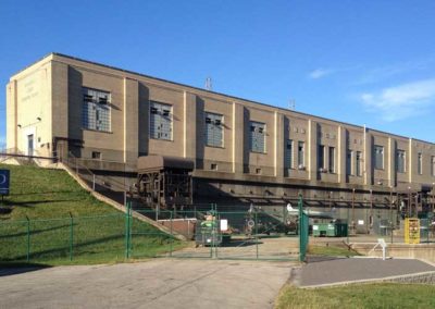
The Beargrass Creek flood pumping station, built in the 1950s at Brownsboro Rd. prevents the Ohio River from backing up into the creek during periods of high water in the Ohio River.

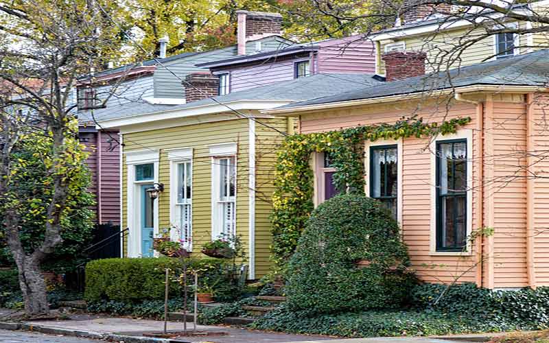
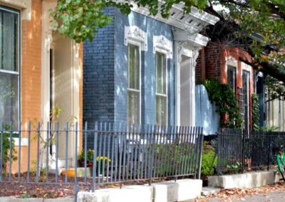
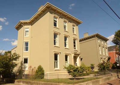
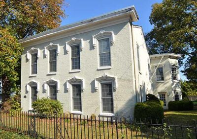
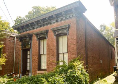
The remaining residential architecture in the neighborhood is diverse, most built with the city’s simple vernacular often with Eastlake details, also known as Victorian brick-a-brack, a handful of high-styled homes are randomly mixed in with modest shotguns, all on small lots. The diversity makes Butchertown unique among Louisville’s historic districts.

Just east of downtown, bounded by the I-64 to the north, Beargrass Creek and Mellwood Ave. to the east, Main St. to the south, and I-65 to the west.

Louisville Historic Preservation & Urban Design

advertisment

GALLERY

Russell

Russell

Russell

Russell

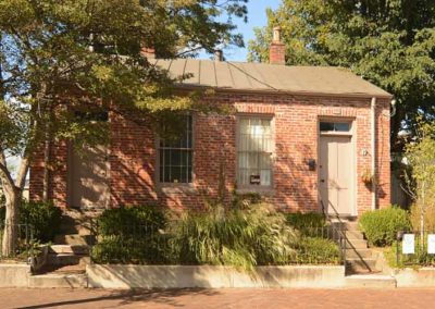
Once a blend of wealthy, working-class and poor people. By the 1830s, free blacks began buying property west of 9th St. Affluent white families built elegant mansions on Walnut, Chestnut, and Jefferson Sts. in what was once the city’s most fashionable neighborhood.

By the 1890s white families began moving towards the east end. African Americans began moving west of 21st St. after World War I. By the 1930s the neighborhood was predominantly black.

By the 1940s Russell had become “Louisville’s Harlem” as African American theaters, restaurants, and night clubs lined area streets. Following World War II many middle class blacks left for newly integrated neighborhoods in the south and east ends.

Walnut Street, now Muhammad Ali Blvd., was a mecca for black entrepreneurs and big-name entertainers who performed at the popular nightspots Top Hat Club, Charlie Moore’s, The Idle Hour and Joe’s Palm Room.

Urban renewal efforts in the 1960s had the area’s business districts razed and many public housing complexes built.

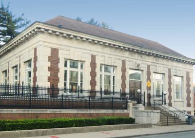
The Western Branch of the Louisville Free Public Library, at 10th St. and Chestnut, America’s first public library open to African-Americans, opened in 1908.

Immediately west of downtown and named for a local African American educator Harvey Clarence Russell Sr. who moved to the area in 1926. Boundaries are W. Market St. on the north, 9th St. on the east, W. Broadway on the south and I-264 on the west.

Courier-Journal article link

advertisment

GALLERY