Hayfield

Hayfield

Hayfield

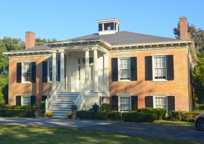
Renaissance Revival style

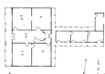
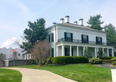
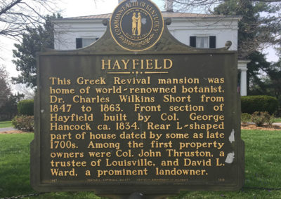
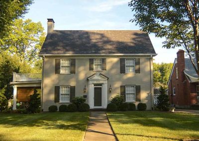
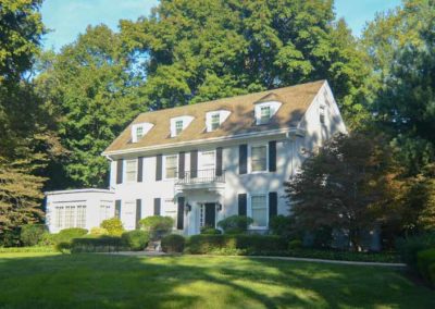
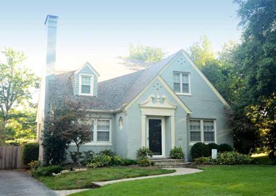
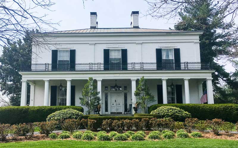
Hayfield, 1809 Tyler Lane, is between Bardstown Rd. and Newburg Rd., near the Watterson Expressway, completely surrounded by a late 1960s subdivision. The front section of Hayfield was built as a country home circa 1834 by Colonel George Hancock. Hancock was a Virginian by birth who came to Kentucky in 1819 and married a niece of George Rogers Clark. Hayfield is one of the finest examples of Greek Revival architecture in Louisville. The rear L-shaped part of house has been dated to the late 1700s. This mansion was also once home of Dr. Charles Wilkins Short from 1847 to 1863, a world-renown botanist, and a founder and dean of the Louisville Medical Institute, forerunner of the University of Louisville School of Medicine. Other early property owners were Col. John Thruston, a trustee of Louisville, David L. Ward, a prominent landowner, George Danforth, who operated a large cattle farm, and Robert Tyler, a business tycoon and civic leader. The slave quarters, a stone springhouse, and a stone wall were destroyed during suburban development in the 1960s. Despite suburban development, Hayfield retains all the grace and character that make it one Louisville’s finest early homes. Added to National Register of Historic Places in 1980.

advertisment

GALLERY

Selma Hall

Selma Hall

Selma Hall

Selma Hall

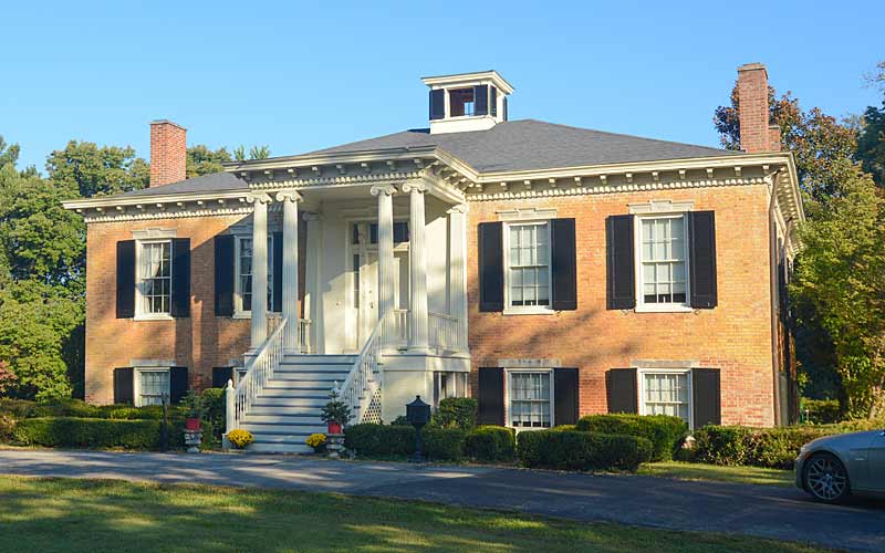
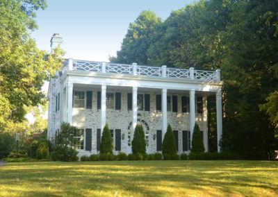
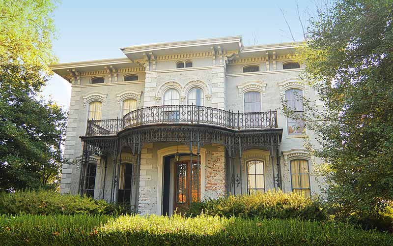
Built in 1837 by a prominent citizen and merchant, Selema Hall is a restored plantation home with details befitting its antebellum roots. Combining Greek revival and Federal styles, the design may have been influenced by other ‘Jeffersonian’ period houses such as Farmington which was built 30 years earlier and is significantly smaller in plan and scale.

The main floor of the house is a half-level above grade, with the lower level containing bedrooms and other support spaces. The front portico shelters a porch and outside entrance to the basement.

Originally on 6,000 acres of farmland, the estate was purchased in the early 1920s and the subdivision of Riedling was created.

On the National Register of Historic Places.

advertisment

GALLERY

Audubon Park

Audubon Park

Audubon Park

Audubon Park
The area evolved from 1000 acres granted to Colonel William Preston in 1773 by King George III as payment for services rendered during the French and Indian War, which at the time was still a part of the Commonwealth of Virginia. Preston’s heirs used the land as farmland until the late 1800’s.

In 1906, 750 acres of the land was sold, and 150 acres was leased for development of the Audubon Park Country Club & Golf Course. Though not located within Audubon Park’s boundaries, the development of the golf course influenced the development of Audubon Park. In 1917, the federal government purchased 420 acres for Camp Zachary Taylor towards the S.E., leaving Audubon Park with 230 acres.

Five parks were developed as part of the original landscape plan. In homage to the naming of the city after naturalist and bird artist John James Audubon, all but two of the city’s twenty streets were given the name of birds.

The development of Audubon Park was considered a move toward “democratic architecture” which espoused socially conscious development, promoting health and welfare, along with a more natural environment, through careful planning and deed restriction’s to ensure a uniform appearance in setbacks and green spaces.

Audubon Park was promoted for its amenities: modern public utilities, along with fresh air and green space. The area’s higher elevation was another selling point to residents of flood-prone Louisville. Homes with more simple, less pretentious plans unlike Victorian-era styles were promoted.

The Interurban commuter rail system added the Okolona route in 1905, which ran from 4th and Jefferson Sts. downtown, through Audubon Park, and on out Preston Hwy. A stop was added to the line at Chickadee and Dove Roads.

The popularity of the automobile in the 1920’s led to the end of the Interurban in 1933, and the Interurban station became a single family dwelling and is located at 3218 Chickadee Rd. The last of the track was removed when sewers were installed in 1975.

The Audubon Park Garden Club, established in 1929, had a major role in the conservation of the parks and green spaces, promoting tree planting, and creating a natural environment for birds.

The City of Audubon Park was established in 1941.

Early building styles included bungalow and Craftsman homes, followed in the 1920-30’s by Tudor Revival and Colonial Revival. After WWII, Cape Cod and Colonial styles became popular.

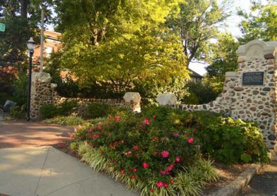
Three massive stone ‘signature entrances’ gateways emphasized the enclave. Two of the original entrances still exist, one at Preston Hwy at Audubon Pky, and one at Oriole at Hess Ln. The third at Poplar Level Rd. was demolished during street widening in the 1960s.

Added to the National Register of Historic Places in 1996.

Boundaries are Hess Ln. to the north, Eagle Pass to the east, Cardinal Dr. on the south, and Preston St. to the west.

www.audubonparkky.org
advertisment

GALLERY

Bellevoir

Bellevoir

Bellevoir

Bellevoir

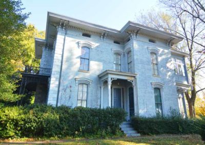
This two-and-a-half story brick Italianate-style mansion was built in 1867 by Hamilton Ormsby on his estate overlooking the railroad tracks leading into Lyndon.

In 1912, it became the Parental Home and School for children, which later merged with the Louisville Industrial School of Reform, that had been the Louisville House of Refuge, and became known as the Louisville and Jefferson County Children’s Home.

When it moved to the old Ormsby family farm, the home became Ormsby Village, serving dependent and delinquent children. The site originally had a separate home and school, Ridgewood, for African-American children.

The home put into practice some of the most advanced ideas in juvenile care to be found anywhere in the United States. It advocated the separation of juvenile facilities and treatment from those of adults, a rural location for facilities instead of an urban one, and a rejection of work exploitation in favor of education and recreation.

Segregation ended in the early 1960s, and both homes were merged into the Ormsby Village Treatment Center in 1968, serving only delinquent children. It closed in 1979.

The buildings were used by Jefferson County government for offices during the 1980s, until the property was developed as an office park. The institutional buildings were razed and the Ormsby family home, Bellevoir, was preserved.

Added to the National Register of Historic Places in 1980.

advertisment

GALLERY

Crescent Hill Reservoir

Crescent Hill Reservoir

Crescent Hill Reservoir

Crescent Hill Reservoir

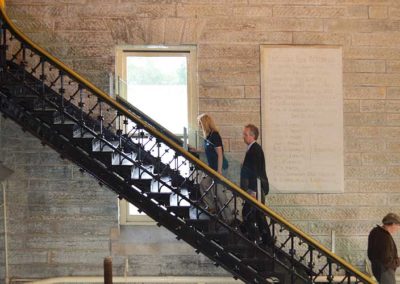
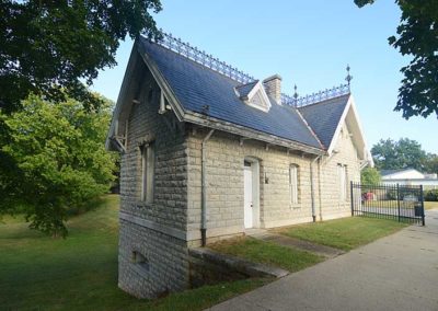
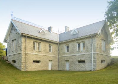
In 1860 the first water customers got river water minus most of the mud that had settled out. The original reservoir was on the hilltop on Zorn Ave. where the Veteran’s Medical Center is today. Crescent Hill was still farmland with private estates at the time.

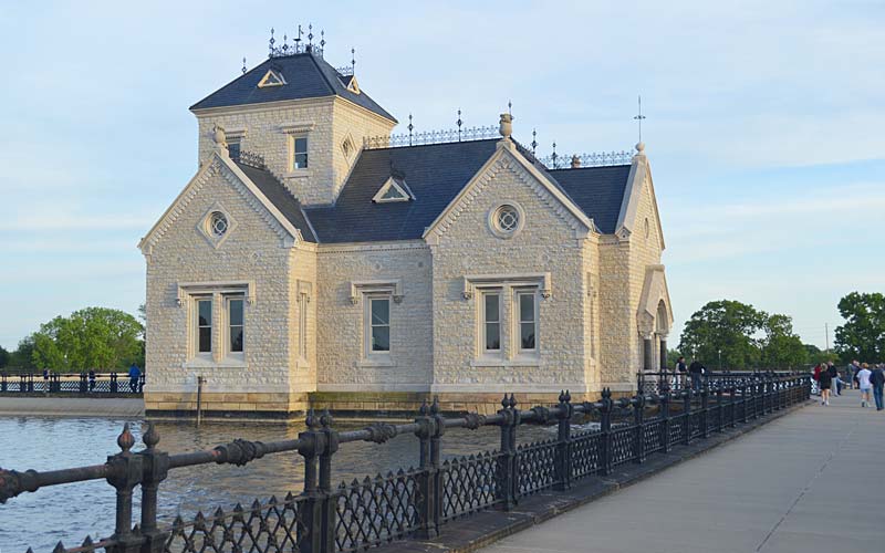
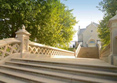
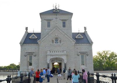
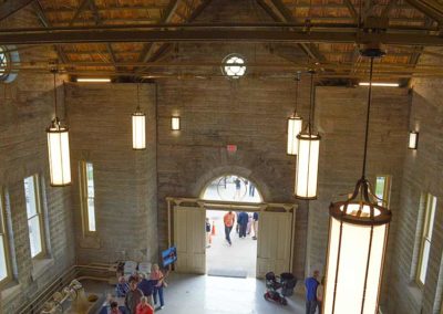
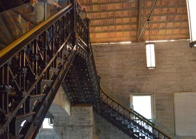
The Gothic style Gatehouse building was completed in 1879. The Crescent Hill Filtration Plant, across Frankfort Ave, opened in 1909, and was a leader in sand and gravel filtration in the U.S.

A 30-inch diameter water main runs underneath the median on Zorn Ave from the Water Tower and Pumping Station on the Ohio river to the reservoir. The Gatehouse contained valves that controlled the flow of water in and out of the reservoir.

In the early years, visitors came by train, and horse and buggy, and entered through two main gates, located at what are now Brownsboro Rd. and Frankfort Ave., to visit the park like grounds which had a lake and visitor’s shelter. The shelter still stands, it’s the L-shaped building that sits across from the Meagher Natatorium, it was completed in 1885, and included water closets, bathrooms and a common area.

The reservoir is still in use today, though the water flow is controlled at the treatment plant and not the gatehouse. The reservoir has a 110-million gallon capacity, less than one day’s supply for the city.

The water company buildings received significant damage from the 1974 F-4 tornado that crossed the property. A full-scale restoration of the building was completed in 2015.

The reservoir is a popular area for walkers and runners. Located at the intersection of Reservoir & 3018 Frankfort Aves.

www.louisvillewater.com/newsroom/crescent-hill-reservoir-and-gatehouse

advertisment

GALLERY

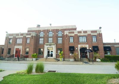
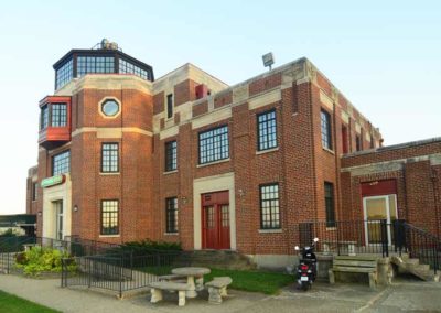
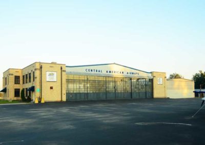
Bowman Field

Bowman Field

Bowman Field

Bowman Field

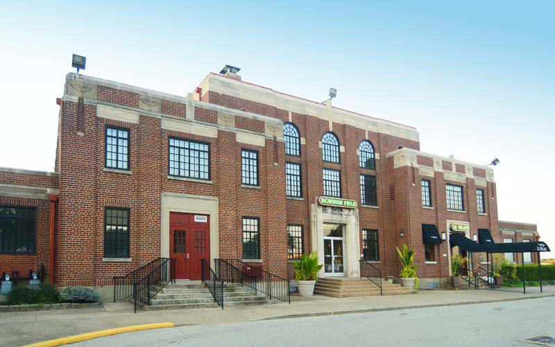
Charles Lindbergh landed the Spirit of St. Louis at the airport in 1927. During the 1920s and 1930s, Eastern Air Lines, Trans World Airlines and Continental Airlines were among the commercial airlines that served there until 1947 when Standiford Field opened. During World War II, Bowman Field was the nation’s busiest airport. The oldest continually operating commercial airfield in North America.

www.flylouisville.com/bowman-field

advertisment

GALLERY