Tyler Park

Tyler Park

Tyler Park

Tyler Park

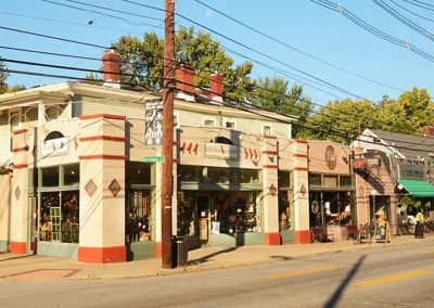
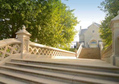
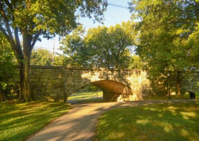
One of the city’s many Olmsted parks and the surrounding early streetcar suburb was named after the city’s mayor in the 1890s. The defining feature of the neighborhood is the stone bridge, circa 1904, which runs through the middle of the park to span a low valley where two small streams converged at the archway on the way to the south fork of Beargrass Creek at Castlewood Ave.

General John Breckinridge Castleman donated land along Castlewood Ave. that became part of the lower park and a separate tract now called the Castlewood Open Space, a short distance away.

The park and surrounding subdivisions evolved slowly, the first subdivision was laid out in 1873 on the flatter terrain between Baxter, Bardstown Rds. and Edenside Ave., but because of its relatively remote location from downtown, development did not pick up until the 1880s. The extension of a streetcar line down Bardstown Road to Bonnycastle Ave. and the establishment of nearby Cherokee Park created more demand for housing in the area.

Further west, newer sections between St. Louis and Calvary cemeteries were developed from 1907 until the 1930s with relatively strict deed restrictions on the lots, including deep setbacks,  exteriors only of brick, stucco or stone, utilities and wires located in alleys, and the prohibition of wood fences.

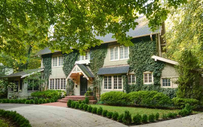
Today, the area around Cross Rd. and Hill Rd. features some of the most eclectic and attractive residential architecture in the city.

Bounded by Rufer Ave. on the north, Bardstown Rd. on the east, Eastern Pkwy. and Calvary Cemetery on the south, and Beargrass Creek and Barret Ave. on the west.
www.tylerpark.org

advertisment

GALLERY

Mockingbird Valley

Mockingbird Valley

Mockingbird Valley

Mockingbird Valley

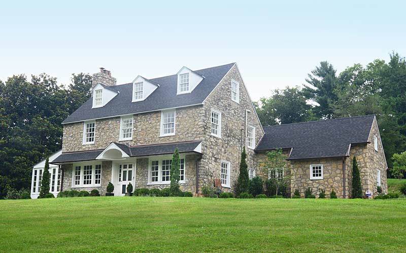
The historic, rural, and wealthy, enclave in the suburban east end is highlighted by landscape preservation and protection of the dramatic topography; rolling hills, high bluffs, & valley streams. Unique characterists are natural stone outcroppings, towering hardwood tree canopies, and walls and bridges made of native materials.

After the first European settlers arrived in the late 1700s, American Indians were removed, and farmers attracted by the fertile land built the area’s first homes. Later, successful businessmen built seasonal homes as early as 1905, when the interurban railroad was created along the Ohio River, larger tracts of land with larger homes were built.

Subdivisions in the immediate neighborhood were ahead of their time in the early 1900s with deed restrictions and regulations limiting things such as building materials, setbacks and sidewalks.

The Olmsted Brothers firm had a hand in the design of the Indian Hills neighborhood to the east, which also features deep setbacks, curvilinear streets and elements of surprise.

Many of the homes; man-made walls; bridges; and columns in the neighborhood are made of locally available materials including brick and stone.

The area has more private roads than any other neighborhood in the city.

Rock Hill (c. 1840) is the oldest surviving residence, built on the bluff above the river.

The Mockingbird Valley Historic District became listed on the National Register of Historic Places in 2007.

www.mockingbirdvalley.org
www.rollingfieldsky.org

advertisment

GALLERY

Portland Museum

Portland Museum

Portland Museum

Portland Museum

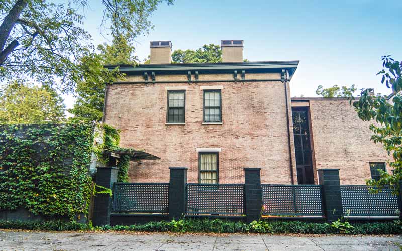
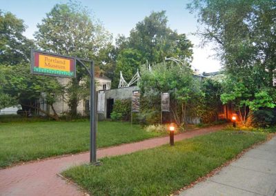
The on-going restoration of Beech Grove, an 1852 Italianate antebellum residence and gardens, once a ‘country seat’ on the old road between Portland and Louisville, serves to tell the story of William and Mary Skene whose family lived here for eight decades.

Portland Museum was founded in 1978 by area school teachers, it grew from a single classroom to its location today at Beech Grove.

In a modern addition, the Portland Museum uses various exhibits to tell the story of Portland, a neighborhood rich with history and folk life.

A letterpress studio here is equipped with Chandler & Price presses, foundry type, and bookbinding equipment. As funding permits, children and adults learn and practice book making arts.

The Portland Museum’s Squire Earick House (c. 1819), an American treasure, may be the oldest house in Portland, and when its restoration is complete will tell important stories about life on the river’s edge, flatboats, steamboats, and the Underground Railroad.

Wednesday – Friday: 12:00pm – 5:00pm
Saturday: 12:00pm – 4:00pm
Closed Sunday – Tuesday
Admission: Free

Portland Museum
2308 Portland Avenue
www,portlandky.org

advertisment

GALLERY

Deer Park

Deer Park

Deer Park

Deer Park

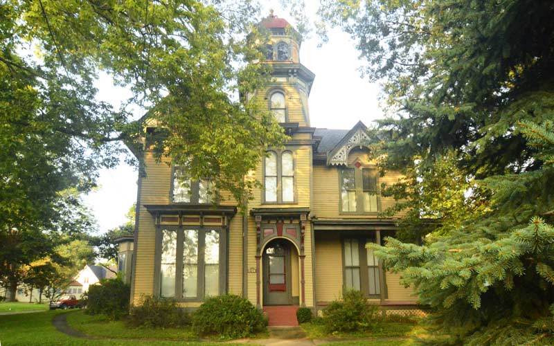
Aneighborhood landmark is the Bullock-Clifton House, a former farmhouse at the corner of Richmond and Rosedale, built in the ‘steamboat gothic’ style in 1834.

Like many places in the U.S., most of the streets were named after the early landowners who turned into developers in the early 1900s. A section of the neighborhood is one of the city’s more densely populated areas and is a National Historic Register District.

Deer Park includes two pedestrian courts whose long rows of houses, with no conventional street, are accessed by alleys and sidewalks running through the small lots. Ivanhoe Ct. was built in 1914, and the slightly smaller Maplewood Pl. were both built during the streetcar suburb era.

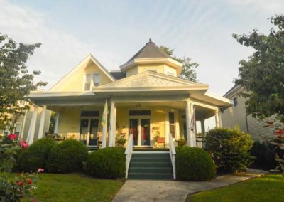
Due to the lack of geographical obstacles such as steep hills or creeks, the neighborhood developed quickly and uniformly. Shotgun houses and modest 2 story Victorians make up the majority of the stock in the oldest sections, while modest craftsmen-style houses dominate further out, along with a few small ranch style homes.

The neighborhood also has one of the last of the pre-World War II subdivisions in the area with larger houses built in various historical revival styles.

Some of the somewhat narrow east/west streets are now one-way, which is an oddity for a traditional neighborhood somewhat far from downtown.

www.deerparklouisville.com

advertisment

GALLERY

Crescent Hill Reservoir

Crescent Hill Reservoir

Crescent Hill Reservoir

Crescent Hill Reservoir

In 1860 the first water customers got river water minus most of the mud that had settled out. The original reservoir was on the hilltop on Zorn Ave. where the Veteran’s Medical Center is today. Crescent Hill was still farmland with private estates at the time.

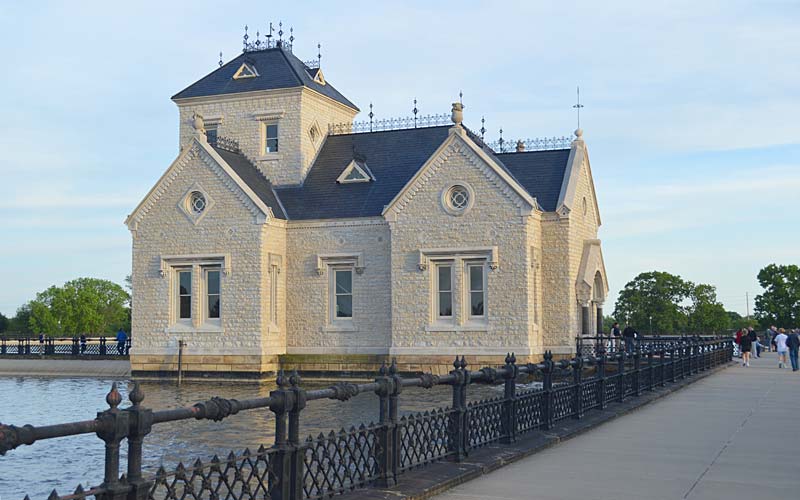
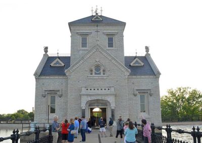
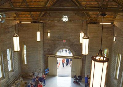
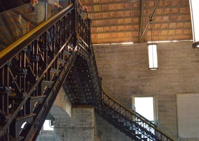
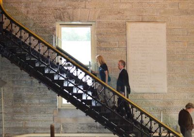
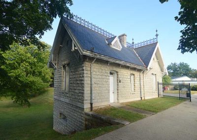
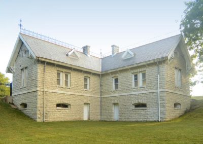
The Gothic style Gatehouse building was completed in 1879. The Crescent Hill Filtration Plant, across Frankfort Ave, opened in 1909, and was a leader in sand and gravel filtration in the U.S.

A 30-inch diameter water main runs underneath the median on Zorn Ave from the Water Tower and Pumping Station on the Ohio river to the reservoir. The Gatehouse contained valves that controlled the flow of water in and out of the reservoir.

In the early years, visitors came by train, and horse and buggy, and entered through two main gates, located at what are now Brownsboro Rd. and Frankfort Ave., to visit the park like grounds which had a lake and visitor’s shelter. The shelter still stands, it’s the L-shaped building that sits across from the Meagher Natatorium, it was completed in 1885, and included water closets, bathrooms and a common area.

The reservoir is still in use today, though the water flow is controlled at the treatment plant and not the gatehouse. The reservoir has a 110-million gallon capacity, less than one day’s supply for the city.

The water company buildings received significant damage from the 1974 F-4 tornado that crossed the property. A full-scale restoration of the building was completed in 2015.

The reservoir is a popular area for walkers and runners. Located at the intersection of Reservoir & 3018 Frankfort Aves.

www.louisvillewater.com/newsroom/crescent-hill-reservoir-and-gatehouse

advertisment

GALLERY