Anchorage

Anchorage

Anchorage

Anchorage Place

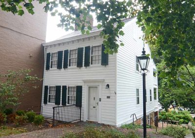
The area was first known as Hite’s Mill, and then Hobb’s Station, in honor of a president of the Louisville and Lexington Railroad. The town was renamed Anchorage for the estate of a retired steamboat captain. A steamboat anchor mounted inside a driving wheel from a steam locomotive is displayed in the center of town near where the L&N Railroad station once stood.

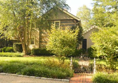
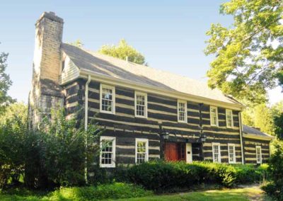
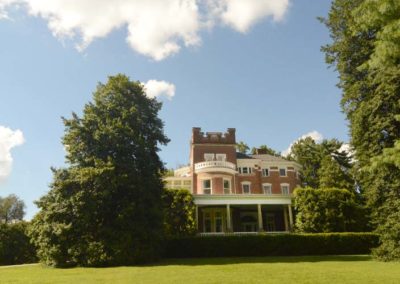
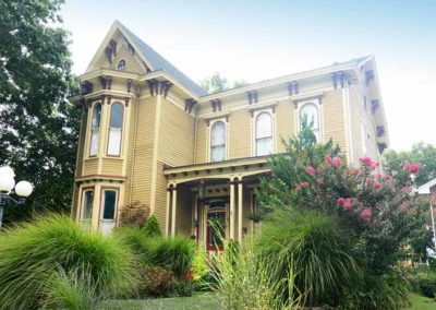
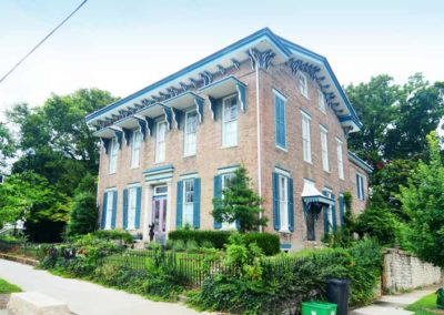
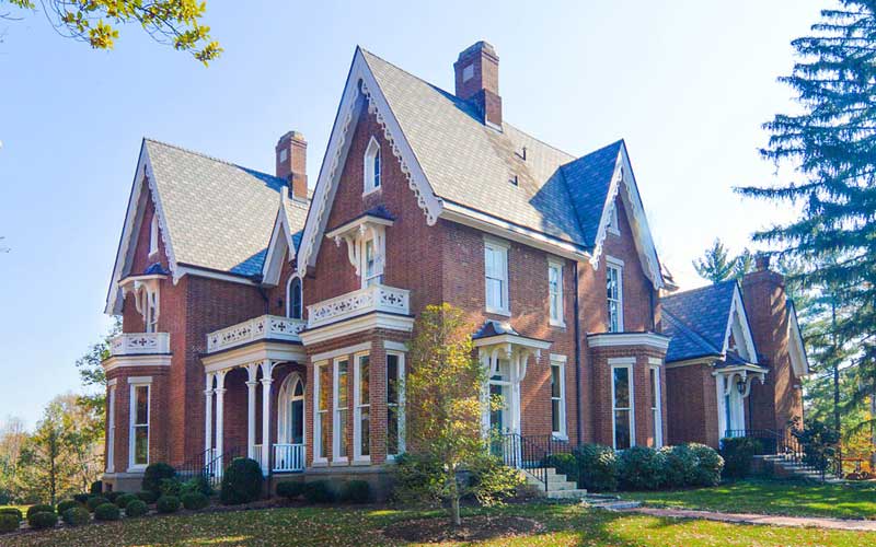
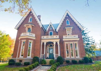
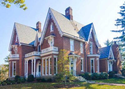
Originally a community of ten to twenty acre country estates developed beginning in the 1860s on the important Louisville and Frankfort Railroad line between Louisville, Frankfort and points east. A number of country estates were established around the Anchorage station during the last quarter of the nineteenth century. Many are of frame construction and date from the 1870s through 1904.

With train service available, including the Louisville, Anchorage, and Pewee Valley Interurban Railroad starting in 1901, the community grew as summer residences for upper class businessmen who commuted into the city each day.

A prominent citizen commissioned the Frederick Law Olmsted firm to design a plan for the town in 1914, it incorporated stone bridges, triangular intersections, and a park like setting.

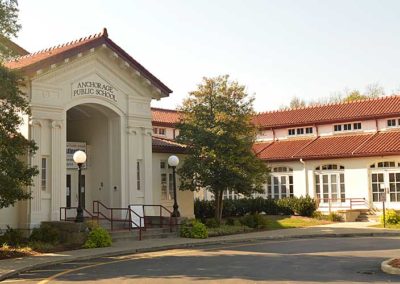
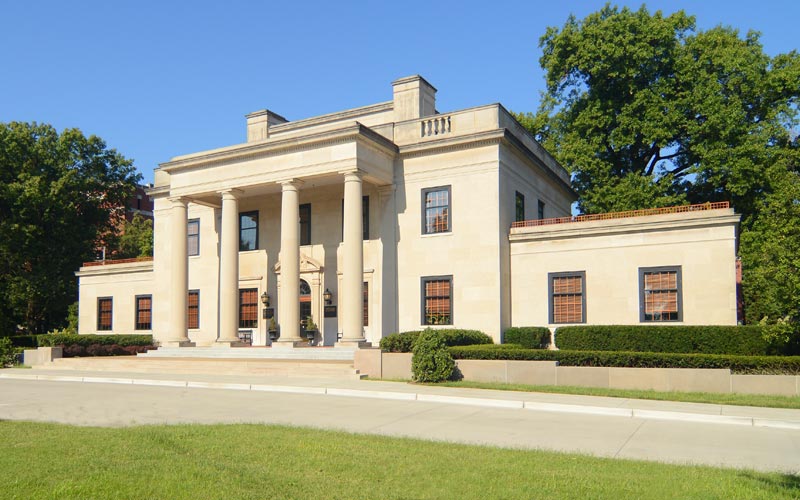
The Citizens National Life Insurance Co. building was built in 1911 and generated enough tax base to allow the community to create the Anchorage Graded and High School. In 1916, the offices of the Southern Pacific Railroad moved into the building and it became the home office for an out of state corporation controlling 13,000 miles of track, and not a foot was in Kentucky. When corporate tax laws in the State were changed, the railway offices moved away.

The number of houses in the community nearly doubled between 1977 and 1997. To preserve the rural character of the town, an Anchorage Historic District was created, and included on the National Register of Historic Places in 1982.
www.cityofanchorage.org

advertisment

GALLERY

Culbertson Mansion

Culbertson Mansion

Culbertson Mansion

Culbertson Mansion

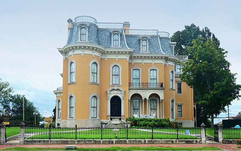
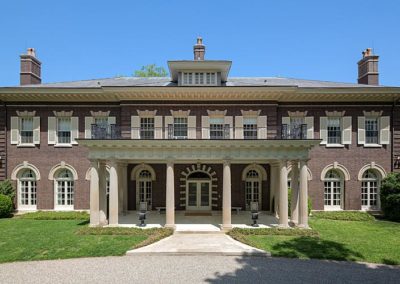
One of Indiana’s leading citizens & philanthropists built this Second Empire mansion at 916 E. Main St. in New Albany, Indiana in 1869.
The lot originally cost $5000, and the house cost $120,000 to build. After Culbertson’s death, he willed the home to his third wife, who auctioned off the house and contents in 1899 for $7,100.

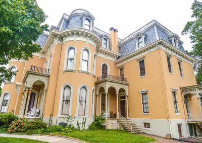
The three-story, Second-Empire mansion encompasses more than 20,000 square feet and contains 25 rooms. The facade, east elevation and west elevation all feature semi-circular bays, allowing plenty of light into the rooms.

In 1964 the mansion was in danger of being torn down, to be replaced by a gas station. Instead, a local historic group called Historic New Albany purchased the mansion for $24,000. It was listed on the National Register of Historic Places in 1974 and became a part of the Indiana State Museum and Historic Sites in 1976.

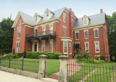
904 E. Main St. was completed in 1887 as a home for Culbertson’s son.

704 E. Main St. was completed by Culbertson as the ‘Old Ladies Home’ to house indigent widows.

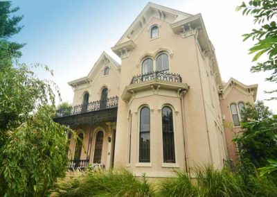
The Samuel Culbertson Mansion in Old Louisville was built as a home for Culbertson’s son in 1897. It operates as a bed & breakfast in today.

www.indianamuseum.org

advertisment

GALLERY

Country Estates of River Road

Country Estates of River Road

Country Estates of River Road

Country Estates of River Road

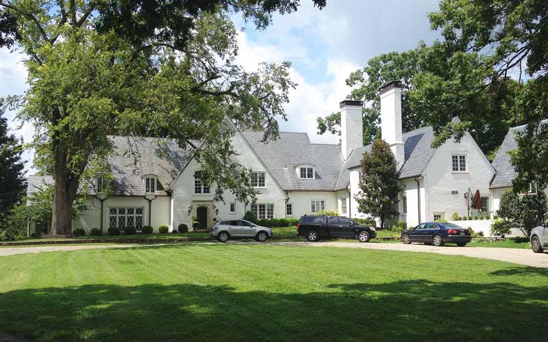
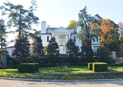
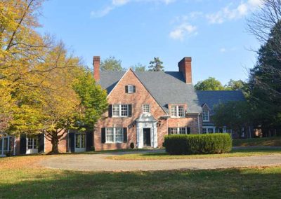
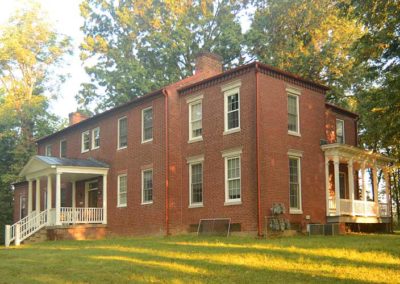
The Historic District consists of 21 large estates, or ‘country places’, designed between 1875 and 1938, and mainly from 1905 to 1916, stretching in a line along the Ohio River bottom lands and the steeply-rising river bluffs behind them. The properties are contiguous for three miles along River Road between Longview Ln. & Wolf Pen Branch Rd.

Architectural styles include Federal, Greek Revival, Colonial Revival, Tudor Revival, Craftsman, and Eclectic. Each estate has a name or title, some of those names are Boxhill, Rockledge, Glen Entry, Winkworth, Bushy Park-Melcombe, Lincliff, Allenwood, Drumanard, Ashbourne, Robinswood, Cobble Court, The Avish, & Nitta Yuma.

Prominent historic entrance gates along River Rd. and Wolf Pen Branch Rd. mark the access to six of the estates and to the Glenview neighborhood. Other estates are accessed from the narrow lanes leading back from the river including Longview Ln., Glenview Ave., and Avish Lane.

These significant works of landscape architecture are second in scope only to the Hudson River valley in New York.

Located along ‘Scenic Byway’ River Rd. and Wolf Pen Branch Rd. from Longview Ln. to Brownsboro Rd.

National Register

advertisment

GALLERY

Schnitzelburg

Schnitzelburg

Schnitzelburg

Schnitzelburg

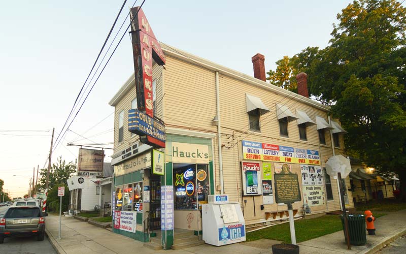
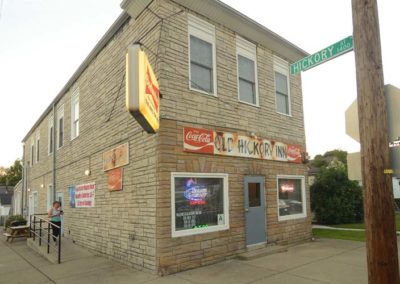
Schnitzelburg is a special part of the larger area of Louisville known as Germantown. While all of Germantown includes the area roughly bound by Breckinridge St., Shelby St., Eastern Pkwy., and Beargrass Creek, Schnitzelburg is the southwest (Shelby and Eastern Pkwy.) corner of the larger area. Traditionally, Schnitzelburg was defined by the loop of the old Portland-Shelby bus, and before that by a mule drawn car that made the same loop. The loop began at Shelby and Goss, and went out Shelby to Burnett, Burnett to Texas, Texas to Goss and back to Shelby.

The area has a rich German-American heritage. When the original German settlers in Louisville were joined by a great influx of immigrants from Germany in the 1850-60s, the already established neighborhoods of Butchertown and Phoenix Hill had run out of space, so many newcomers and the younger generations moved ‘Out Shelby’ into the subdivisions of Colonel Arthur Campbell’s land, what is now Germantown. Schnitzelburg grew rapidly after St. Elizabeth Parish was founded in 1905.

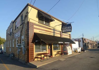
Originally Schnitzelburg was rural, with large backyard gardens, brickyards, and dairy farms. The area today is full of shotgun cottages, bungalows with front porch swings, and many small businesses, restaurants & pubs. Landmarks include Manual Stadium, St. Elizabeth Church, Emerson Park, & the old Louisville Textile Mill.

Schnitzelburg is bounded by Shelby St., Clarks Ln., & Goss Avenue (Poplar Level Rd.).

www.schnitzelburg.org

advertisment

GALLERY

Shively

Shively

Shively

Shively

Started with a mill and tavern near Mill Creek on the stagecoach route known as the Louisville and Nashville Turnpike which connected Louisville to the Salt River to the south. The stagecoach stop began in 1831. The Elizabethtown and Paducah Railroad arrived in the 1870s.

Before the Civil War, the area was popular with German immigrants who built St. Helen’s Catholic Church in 1897. The community was originally known as St. Helen’s. The streetcar line was extended to the area in 1904.

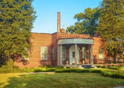
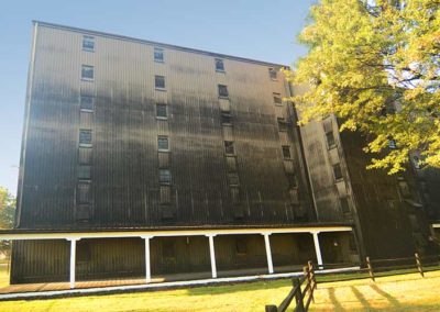
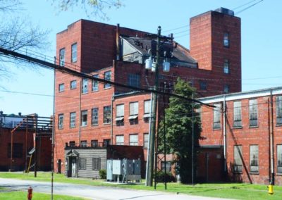
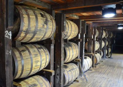
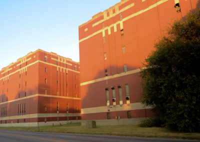
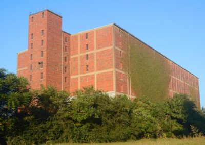
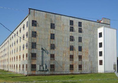
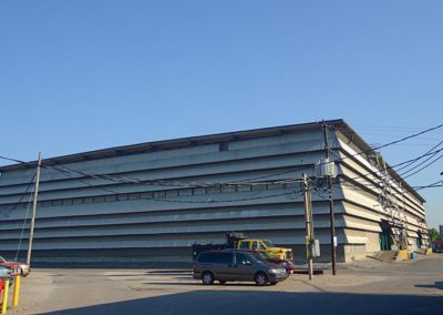
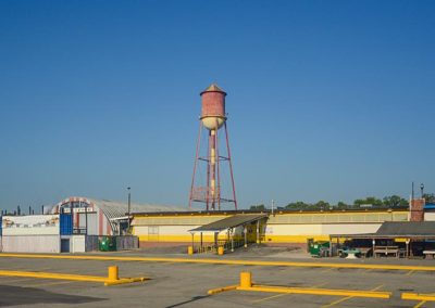
Eight whiskey distilleries where in operation in the area after the end of Prohibition. Louisville tried to annex and tax the distilleries during the Great Depression, but Shively, which incorporated as a city in 1938, annexed the district instead. The influx of revenue left the small city well-funded, and it became the state’s fastest growing city during the 1950s as white flight and suburbanization reached Louisville. Several of those distilleries still operate in the area today and the age of modern distillery construction can still be seen.

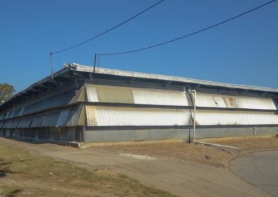
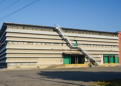
Tobacco warehousing and sales were a huge industry along Seventh St. before the tobacco companies took control and changed the business. Most of those structures are still standing today and have been repurposed.

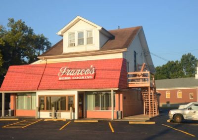
Adult-entertainment businesses remain from the World War II era when a large Army base was located along Seventh St. Crime and vice throughout the decades have left the community with the nickname of Lively Shively.

Boundaries are roughly Millers and Bernheim Lanes to the north (Algonquin neighborhood), Seventh St. to the east, I-264 (St. Dennis neighborhood) to the west, and Rockford Ln. (Pleasure Ridge Park) to the south.

City of Shively

advertisment

GALLERY