Complete Local Landmarks List

Complete Local Landmarks List

Complete Local Landmarks List

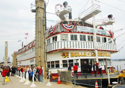
Belle of Louisville

Acomplete list of Metro Louisville Individual Landmarks. Many of these are also National Historic Landmarks.

American Standard Building
S. Seventh St. at Jordan Ave.

Bauer’s / Azalea (since demolished)
3608-3612 Brownsboro Rd.

Belknap Playhouse
Third and Avery St.

Belknap School
1800 Sils Ave.

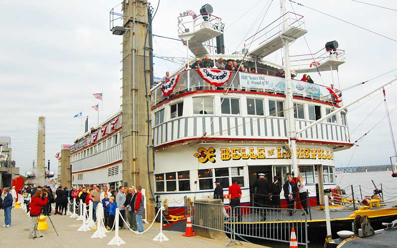
Belle of Louisville
Third St. and River Rd.

Bellevoir-Ormsby Village
Hurstbourne Green

Brennan House
631 S. Fifth St.

Buechel Depot
2020 Buechel Ave.

Cathedral of the Assumption Complex
433-43 S. Fifth St.

Chestnut St. YMCA/Knights of Pythias
928-32 W. Chestnut St.

Christ Church Cathedral
421 W. Second St.

Church of Our Merciful Savior
473 S. 11 St.

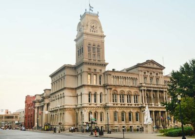
City Hall
601 W. Jefferson St.

City Hall Annex
611 W. Jefferson St.

Cloister/Ursuline Academy & Convent
800 E. Chestnut St.

Clover Hill/Youngland
2618 Dixie Hwy.

Colonial Gardens
818 W. Kenwood Dr.

Crescent Hill Branch Library
2762 Frankfort Ave.

Dean-Bishop House
2114-2116 Edgehill Rd.

Eastern Branch Library
801 S. Hancock St.

Eight-Mile House
8111 Shelbyville Rd.

Farmington
3033 Bardstown Rd.

Field House
2909 Field Ave.

Fire Station #2
617 W. Jefferson St.

Fisher House
15103 Old Taylorsville Rd.

Former Wayside Property
800-812 E. Market St.
215 S. Shelby St.

Funk Springhouse
2101 S. Hurstbourne Pkwy.

German Insurance Bank Building
207 W. Market St.

Grotto at St. Joseph’s Infirmary
Presidents Boulevard & Pirtle

Hanna House
1306 Evergreen Rd.

Hobbs Memorial Chapel and Cemetery
Evergreen Rd.
Anchorage

Jefferson County Armory/Louisville Gardens
525 W. Muhammad Ali Blvd.

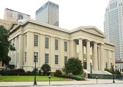
Jefferson County Courthouse
530 W. Jefferson St.

Jefferson County Courthouse Annex
517 Court Pl.

Jefferson County Fiscal Court Building
531 Court Pl.

Jefferson County Jail
514 W. W. Liberty St.

Little Loomhouse
328 Kenwood Hill Rd.

Locust Grove
561 Blankenbaker Ln.

Long Run Church and Cemetery
Long Run Rd.

Trust Company Building
208 S. Fifth St.

War Memorial Auditorium
970 S. Fourth St.

Main Branch Library
301 York St.

Male High School
911 S. Brook St.

Mary D. Hill School/Central Colored School
542 W. Kentucky St.

Monsarrat/Fifth Ward School
743 S. 5th St.

Municipal College/Simmons University
1018 S. 7th St.

Nunnlea
1940 Hurstbourne Pkwy.

Omer-Pound House
6609 Billtown Rd.

Parkland Branch Library
2743 Virginia Ave.

Pennsylvania Run Church and Cemetery
8405 Pennsylvania Run Rd.

Peter C. Doerhoefer House
4422 W. Broadway

40211
Peterson Ave. Hill
301 Peterson Ave.

Peterson-Dumesnil House
301 Peterson Ave.

Portland Branch Library
3305 Northwestern Pkwy.

Riverside, The Farnsley-Moremen Landing
7410 Moorman Rd.

Roosevelt Elementary School
222 N. 17th St.

Seelbach-Parrish House
926 S. Sixth St.

Shelby Park Branch Library
600 E. Oak St.

Soldiers Retreat
9300 Seaton Springs Rd.

St. Louis Bertrand Complex
1104 S. Sixth St.

St. Patrick’s Church
1301 W. Market St.

St. Paul’s Evangelical Church
217-19 E. Broadway

Taylor-Herr House
726 Waterford Rd.

Tonini Complex
638-646 S. Shelby St.

Twig and Leaf Restaurant
2122 Bardstown Rd.

Tyler Park Bridge
1400 Baxter Ave.

U of L School of Medicine
550-4 S. First St. at Chestnut

U.S. Marine Hospital
2215 Portland Ave.

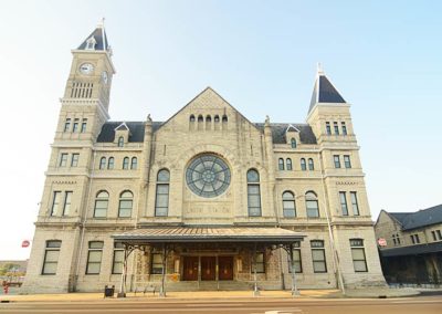
Union Station
700 S. Tenth St.

Western Branch Library
604 S. Tenth St.

West Main Street
105 W. Main St.
107-109 W. Main St.
111 W. Main St.
113 W. Main St.
115 W. Main St.
117 W. Main St.
119 W. Main St.
121 W. Main St.

Westwood
Westwood Farms Dr.

Wilhoyte House
8610 Westover Dr.
Prospect

Louisville Metro Individual Landmarks

advertisment

GALLERY

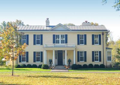
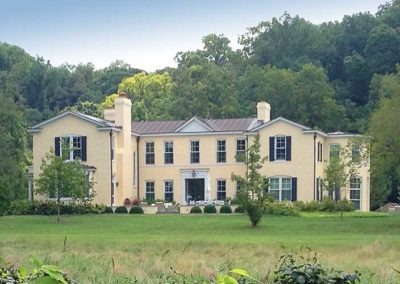
Drumanard Estate Historic District

Drumanard Estate Historic District

Drumanard Estate Historic District

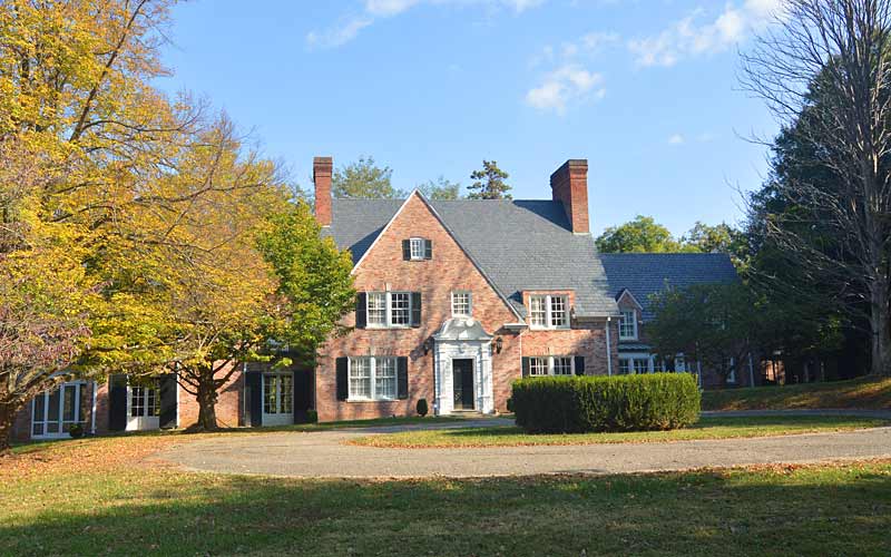
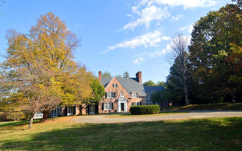
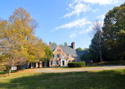
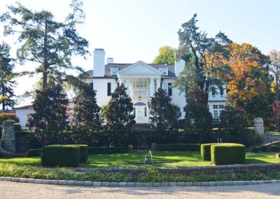
Drumanard Estate

In the approach path from I-265 to the east end bridge this 47-acre wooded estate is federally designated and protected under the U.S. Department of Transportation Act.

The main house is listed on the National Register as 20th-century Tudor Revival-style architecture, and was built in 1929.

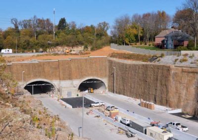
The state bought the Harrods Creek site for $8.3 million in 2012. Hundreds of millions of dollars were spent to bore twin tunnels underneath the estate to preserve it. The state of Kentucky, who now own it, is looking for a buyer.

Because the estate, listed in 1983 on the National Register of Historic Places, is part of the Country Estates District, the entire district could have lost some of its integrity if the bridge approach route had run through the property.

Drumanard Estate preservationists claim the property features a historic landscape planned by the nationally-known firm of Olmsted Associates.

The state fought against the federal historic designation for the house that prevented it from being demolished and wanted an overland route taken across the property instead.

Some folks still think the National Register status of the estate got its status as part of a conspiracy by a local group that didn’t want their own property values diminished.

Their findings showed the Olmsted firm’s 1904 layout for Drumanard was never implemented, and was never intended to be implemented on all 55 acres.

The theorists also claimed “state and local historic preservation officials manipulated the process in a deceitful and unethical manner”. Individuals representing the Kentucky Heritage Council, the State Historic Preservation Office, and the Jefferson County Office of Historic Preservation and Archives, “used unprofessional tactics on the owner of the Drumanard from 1988 to 1992 in order to intimidate the owners in placing this property on the National Register solely for the purpose of blocking progress of the East End Bridge”.

They claimed the Drumanard “boundary increase” of the entire 55 acres is not a historic property and should not have been placed on the National Register of Historic Places.

More than one person has claimed “The whole thing is stupid to the extreme”.

6401 Wolf Pen Branch Rd.; also known as the Watson House, the Strater House, and the Fitzhugh House.

advertisment

GALLERY

Harrods Creek / Prospect

Harrods Creek / Prospect

Harrods Creek / Prospect

Prospect

Harrods Creek – A diverse settlement at this Ohio River creek inlet before 1775, became well known to flatboat travelers as a logical overnight stop for those wanting to avoid ‘undesirables and the disease-infested swamp’ down-river in Louisville.

Cargo unloaded at a wharf was sent on the Louisville-Westport Pike, today’s River Rd, or up the hillsides to Middletown and Jeffersontown. Thick stone walls and a fireplace inside today’s Captian’s Quarters restaurant are all that remains of the once popular Harrods Tavern from that era.

Situated between two creeks, the fertile farmland and water-powered mills in the area produced grains for the agricultural market. By the early 1800s river traffic just passed on by, the ferry to Utica, Indiana had become popular.

The farmland was dotted with estates, such as Ashbourne, built in the early 1800s. A frontier firm, that later became Transylvania University in Lexington, laid out an early city plan upriver, but it never materialized.

In 1877, the Louisville, Harrods Creek and Westport Railway reached the area but was never completed to Westport, the line became part of the Louisville & Nashville rail network in 1881.

Louisville’s prominent and wealthy built estates on the hilltops, including Nitta Yuma (American Indian for High Ground) on Wolf Pen Branch Rd. in the 1890s.

The interurban railroad of the early 1900s fostered a new suburb that mirrored two other suburbs in the county at the time, Anchorage and Glenview.

The area had an African-American enclave centered on an area known as ‘The Neck’ at the Harrods Creek bridge.

Prospect – Native America Indians were removed and the Europeans created a town after the railroad came through in the late-1800s, the interurban railroad brought more growth to the area, which remained a rural outpost with a mix of residents, blacks descended from slaves, wealthy landowners, and poor whites who worked on the farms.

The Prospect Store, north on U.S. 42. across from Rose Island Rd., opened around 1911, and was considered the quintessential country store and the center of town on the road to Cincinnati. The store was later moved to the other side of the highway and converted into apartments.

The ornate brick farmhouse built in the mid-1800s by James Trigg, at Covered Bridge Rd. and U.S.42, hosted the 1940s entertainer and big-band musician Benny Goodman at a square dance and dinner party following his performance with The Louisville Orchestra. Another guest, author John Steinbeck, wrote “Ode to the Kentucky Derby” in the home on a typewriter borrowed from his hosts, which appeared the next day in The Courier-Journal.

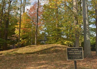
Across the street from the Trigg residence was Sutherland Farms, developed as a pricy subdivision, has an Indian burial mound dating from 100 B.C. to 200 A.D.

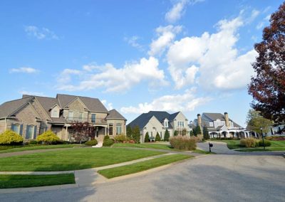
Prospect became an enclave of high-price subdivisions after the city was incorporated in 1974.

City of Prospect

advertisment

GALLERY

Main Street

Main Street

Main Street

Main Street

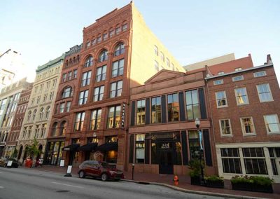
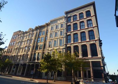
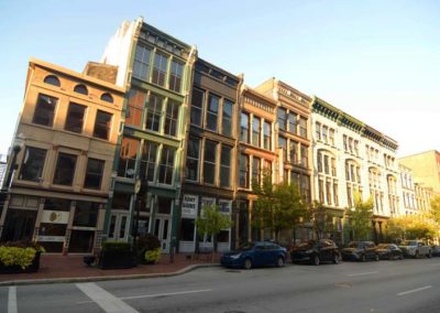
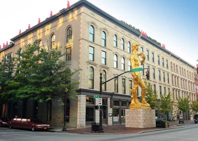
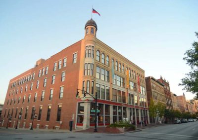
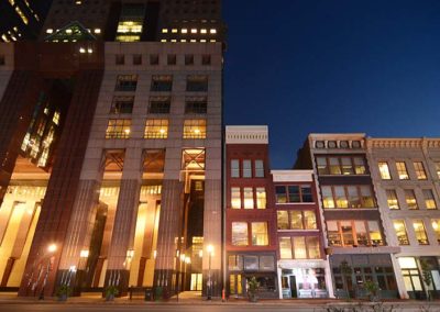
West Main Street offers a walking tour opportunity featuring some of the best of Louisville’s architectural heritage.

Starting at 1st and Main Sts. and traveling west, Whiskey Row is a block of mid-1800s whiskey distillers’ warehouses from an era when there were over 3,000 distillers in the U.S.

At 2nd St., the George Rogers Clark Memorial Bridge (c. 1929) was the first bridge to carry automobile traffic across the Ohio River in Louisville is one of only two pedestrian bridges in the area.

The 300 W. Main block features Actors Theater (c. 1837), the columned building is one of the oldest surviving buildings in the city and one of the finest examples of small-scale Greek revival architecture in the U.S.

The 400 block features two International style buildings, the 40-story National City Tower (c. 1972) designed by Harrison & Abromowtz of New York and completed in 1972. On the north side of Main St., the American Life Building (c. 1973), 3 Riverfront Plaza at the Belvedere was designed by Ludwig Mies Van der Rohe, and now has ‘painted’ Cor-Ten steel.

The post-modern Humana Building (c. 1984) designed by Michael Graves at 5th & Main is the city’s best example of infill and is one of our most famous buildings.

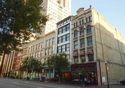
West of 6th St. to 9th St. are the last of the historically intact areas of commercial architecture in downtown and the second-largest concentration of cast-iron buildings in the nation, second only to the SoHo District in New York City.

The former St. Charles Hotel 634 W. Main (c. 1832) is the oldest building on Main. The Hart Block Building at 730 W. Main is the best example of a cast-iron facade in Louisville. The Fort Nelson building at 801 W. Main is one of the more unique historic buildings on Main.

The Main Street Visitors Center at 627 W. Main St. and is operated by Louisville Tourism. Hours are seasonal. Monday through Friday, 11 am to 3 pm, weather permitting. Closed holidays.

Louisville Visitors Center
Louisville Downtown Partnership
Main Street Association

advertisment

GALLERY

George Rogers Clark Homesite

George Rogers Clark Homesite

George Rogers Clark Homesite

George Rogers Clark Homesite
Located at the lower end of a natural 24-foot exposed limestone drop along the 2-mile long stretch of the Falls of The Ohio, it was originally a stopping point for people traveling on the Ohio River. Once known as ‘Clark’s Point’, the site is at a high point on a curve in the river, with a view of the falls and the river in both directions.

George Rogers Clark built a cabin here in 1803 as a ‘retirement home’ in order to live independently from his sister at Locust Grove.

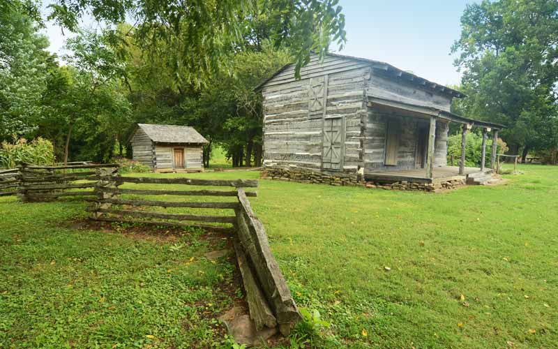
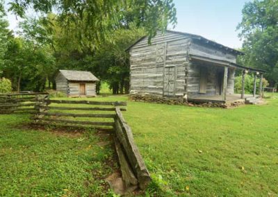
This log cabin is a representation of a cabin that George Rogers Clark may have lived in. The original Clark cabin at this location was destroyed in 1854. This cabin was originally in Osgood, in Ripley County, Indiana, and was moved to and rebuilt at this site in 2001.

The small cabin in the rear is a replica of the McGee’s cabin. The McGees were African-American indentured servants of George Rogers Clark. The McGee’s lived in a settlement called Guinea Bottoms, located close to the creek on the property, one of the first freed African-American communities in the Northwest Territory.

The 7-acre tract is part of the Falls Of The Ohio State Park and part of a 1404 acre National Wildlife Conservation Area run by the Indiana Dept. of Natural Resources and the Falls of the Ohio State Park and is on the National Register of Historic Places.

George Rogers Clark Park is accessible 24 hours a day. The cabin is open from Memorial Day weekend through October on Saturdays and Sundays from 10 am to 4 pm. 1102 W. Harrison Ave., Clarksville, IN.

DESTROYED BY FIRE, MAY, 2021

Falls of the Ohio

advertisment

GALLERY