Churchill Downs

Churchill Downs

Churchill Downs

Churchill Downs

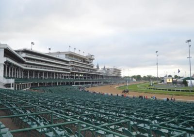
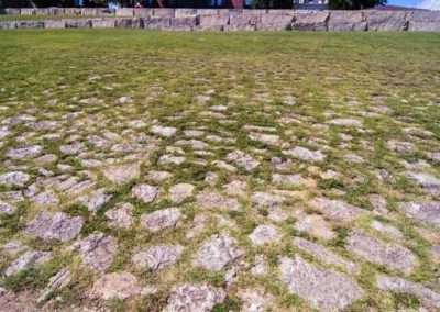
A147-acre farm that Meriwether Lewis Clark Jr. purchased for the Louisville Jockey Club and Driving Park Assoc. from the Churchill family to replace the old Oakland Race Course that had been established in 1832 on a 55-acre plot at the present day 7th St. and Magnolia Ave.

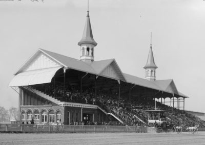
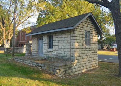
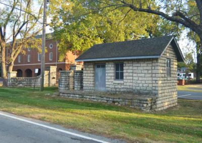
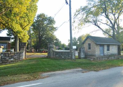
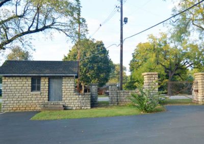
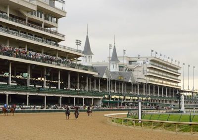
The original track entrance lodge, grandstand, clubhouse, and stables on the S.W. turn that were used for the first running of the Kentucky Derby in 1875 are all gone today.

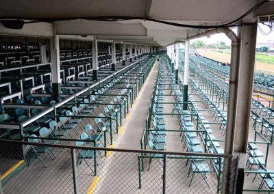
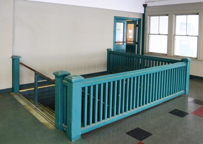
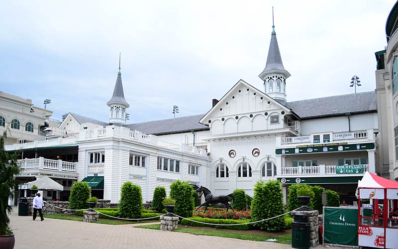
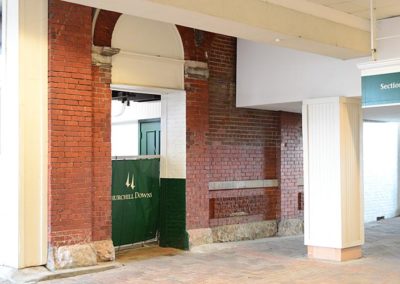
The Louisville Jockey Club was renamed Churchill Downs in 1937 and the racetrack has undergone a myriad of changes over the years. By 1896 all of the original structures had been replaced. A brick and metal girder grandstand was built on the west side of the track that included the famous twin spires. Some of that grandstand still exists. The classical clubhouse built in 1902 stood until the major remodeling in 2004 created most of what we see today.

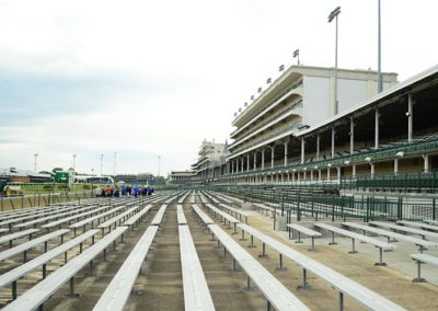
In the 1940s the grandstands were extended around the first curve, and in the 1960s VIP skyboxes were built where the old clubhouse had stood, giving the facade the appearance of a giant ship. The museum was added in 1985.

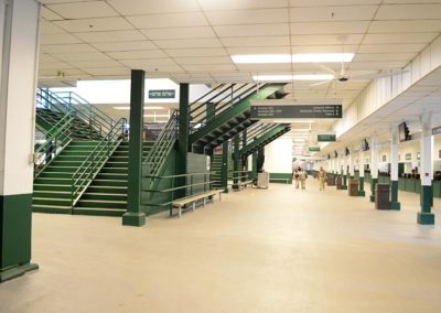
The major remodeling project of the early 2000s expanded the track’s capacity for spectators, which can now handle 165,000 fans for the Kentucky Derby.

The place rather than the buildings give Churchill Downs its National Historic Landmark status. Fans come to witness the story, the running of horses, and winning of bets on a race.
www.churchilldowns.com

advertisment

GALLERY

Whitehall

Whitehall

Whitehall

Whitehall

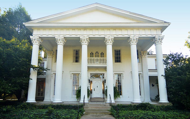
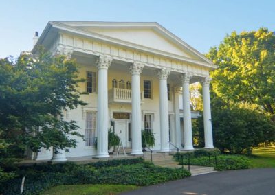
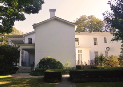
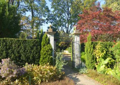
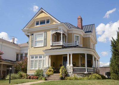
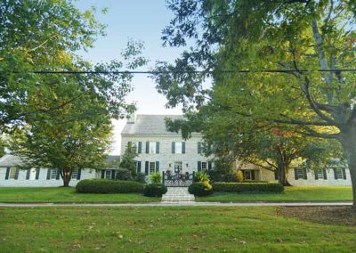
This garden estate, circa 1855, began as a modest two-story Italianate house, a style popularized in Louisville during the mid-19th century. Originally on twenty acres, and part of Spring Station on Beals Branch, a tributary to Beargrass Creek that runs through the property.

The original home was eight rooms, four over four, with a steep narrow staircase in a center hall.

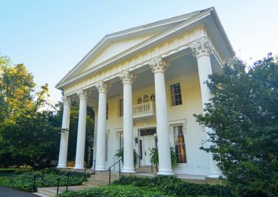
The house sold in 1860, and again in 1909, which is when major renovations were made to convert the building into the Southern-style Greek Revival mansion we know today. Wings were added to three sides, along with the iconic portico and columns on the façade.

Major changes to the interior were made, including removal of walls and the addition of structural columns. Fireplaces were removed and the ceiling heights were changed. The staircase and center hall were also added at this time.

The last family to live in the house bought it in 1924, their son took ownership in 1948 and lived there until 1992 and bequeathed the property to the Historic Homes Foundation.

Open for tours
Monday–Friday, 10–2
3110 Lexington Rd.

www.historicwhitehall.org

advertisment

GALLERY

Downtown Jeffersonville

Downtown Jeffersonville

Downtown Jeffersonville

Spring Street Jeffersonville

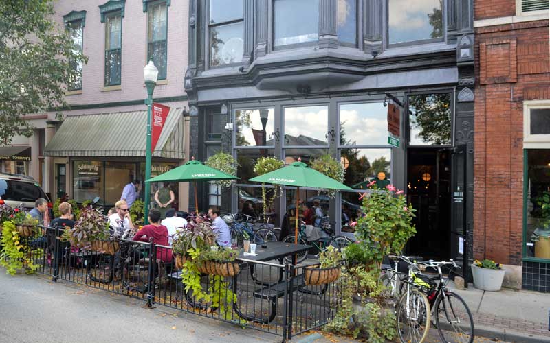
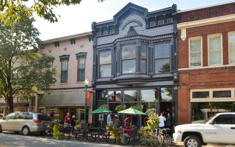
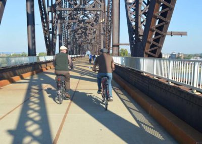
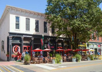
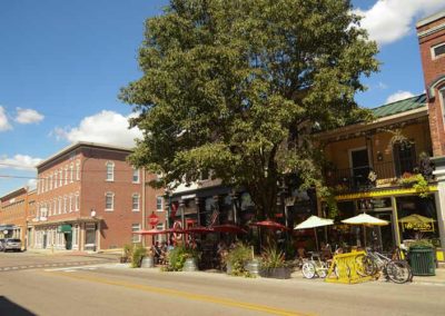
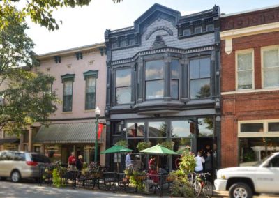
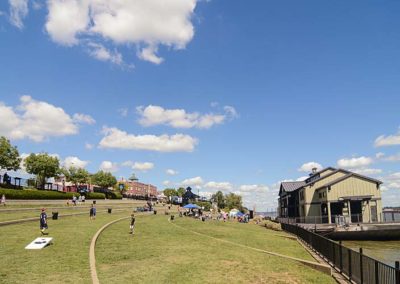
Spring St., Jeffersonville, Indiana, is just across the Big Four pedestrian bridge, between the Ohio River and W. Court Ave. A four block long historic commercial district lined with boutique retail stores and restaurants. A linear waterfront park along the river extends the entertainment district several more blocks, creating a very walkable riverfront experience. RiverStage is an outdoor public entertainment area along a terraced lawn on the city’s historic riverfront in the Jeffersonville Arts And Cultural District.
www.cityofjeff.net
www.jeffmainstreet.org
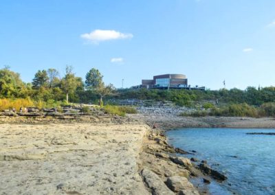
Falls of the Ohio State Park

advertisment

GALLERY

Hurstbourne

Hurstbourne

Hurstbourne

Lyndon Hall

First surveyed by John Floyd in 1774 and settled by Maj. William Linn, who erected Linn’s Station along the Beargrass Creek in 1779. Stations were small fortifications built for the protection of settlers from attacks by Indians and British soldiers.

The station would have been located near what is now Hurstbourne Pkwy and Shelbyville Rd. on Weicher Creek that begins near there and joins the Sinking Fork, that begins near Anchorage, to form the Middle Fork of Beargrass Creek. It was along a part of the road between the Falls of the Ohio and Fort Harrod.

Linn’s heirs abandoned the site in the 1790s. In 1789, Col. Richard Clough Anderson Sr. purchased 500 acres of land in the area and established the estate he named Soldier’s Retreat. His house suffered damage in the 1811 earthquake, and was struck by lightning and demolished in the 1840s. In the 1970s the ruins of the Anderson house were discovered and it was excavated, moved and rebuilt in 1983.

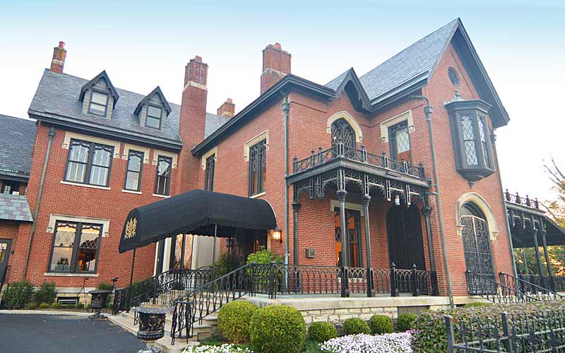
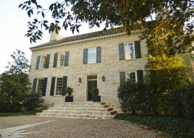
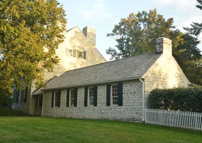
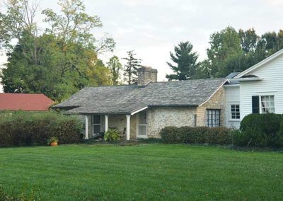
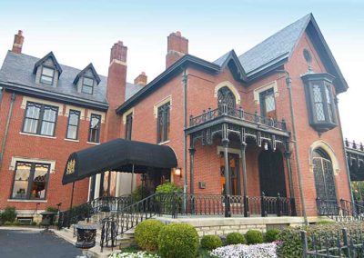
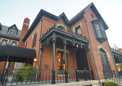
By 1818 the center section of Lyndon Hall had been built, it is now part of the Hurstbourne Country Club’s clubhouse. In 1915 the property was renamed Hurstbourne, and in 1928 the house underwent the major enlargement and remodeling that we see today.
Hurstbourne Parkway was created in 1935 when an old lane was widened. By 1965 commercial and residential development of the area had begun and it was incorporated as a city in 1982. By 1990 almost all of the land had been developed.

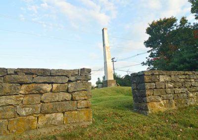
The streams, creek beds, and other natural features, as well as the site of Lynn’s Station, its springhouse, the Anderson house and graveyard, and several old stone out-buildings in the area have been preserved.

The Hurstbourne Foundation
www.hurstbourne.org

advertisment

GALLERY

Water Tower & Pumping Station

Water Tower & Pumping Station

Water Tower & Pumping Station

Water Tower

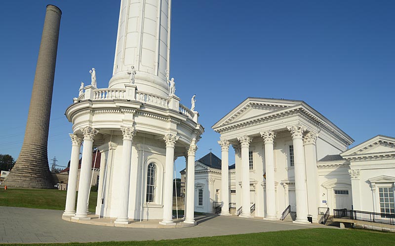
First planned in the 1860s, the Water Tower is the oldest and most ornamental structure of its kind in the country. It merged “architectural beauty with industrial efficiency”.

Unknown to residents at the time, the lack of a safe water supply presented a significant health risk to the city. Louisville got the nickname “graveyard of the west” in the 1830-40s due to the polluted local water coming from tainted private wells, giving Louisville residents cholera and typhoid at epidemic levels.

After several devastating fires in the 1850s, Louisville voters approved the investment and the water company became a government-owned corporation.

The Greek temple themed tower was able to produce 12 million gallons of water a day that flowed through the city’s 26 miles of pipes. After the water project’s completion in 1866, Louisville was free of cholera.

A tornado in 1890 destroyed the tower, the original wood paneled tower was replaced with cast iron. Two of the original ten statues surrounding the tower were also destroyed. A new pumping station and reservoir opened in Crescent Hill after that, and the original water tower ceased pumping operations in 1909.

The water tower is a standpipe. When water is pumped to the top of the tower a gravity flow is created to fill a connected reservoir at an equal elevation without additional pumping.

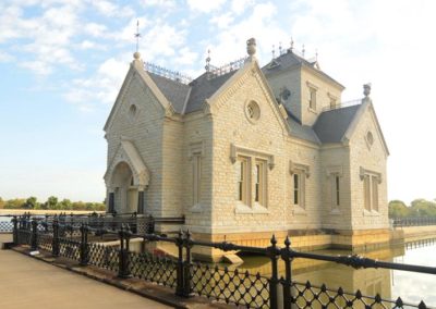
The Louisville WaterWorks Museum opened in 2014. A portion of the facility is a museum that tells the story of Louisville’s water history.

Wed. – Fri. 1-5
Sat. – Sun. 10-3

$5, seniors $4, youths $3

3005 River Rd.

Louisville Water Tower Park

advertisment

GALLERY