Highlands-Douglass

One of many neighborhoods that emerged in the early 20th century from rolling farmland and scattered family estates as growth moved outward from downtown as the trolley line was extended out Bardstown Rd. to Taylorsville Rd.
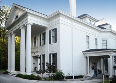
One of the earliest estates in the area was Woodbourne, a 200 acre estate assembled during the 1830s, part of that property was donated to create Cherokee Park The original estate home still stands near the intersection of Bardstown Rd. and Woodford Place.
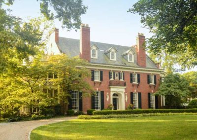
The more level terrain western portion of the neighborhood developed quicker than the eastern portion and the original subdivision was carved into several smaller subdivisions prior to World War I and again in the 1920s. The housing styles in each subdivision reflects the socio-economic status of the original residents. Large historical revival homes (Colonial, Tudor, etc.) in the western portion suggest an affluent upper-middle class population, while the bungalows of the southern portion, near the intersection with Taylorsville Rd., indicate a more middle class population.
The western section of the neighborhood featured a street pattern which represented a departure from the original grid style subdivisions. In addition to showing a greater respect for the natural topography of the land, there was a growing trend towards subdivision design which included large lots, encouraged natural topography, and preferred street patterns which discouraged through traffic in residential neighborhoods. This proved to be more profitable in the long run as well as more appealing to affluent home buyers.
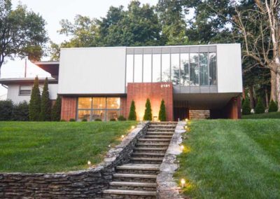
The prevalence of more contemporary style homes and ranch houses along with the occasional historical revival home along Carolina Avenue, Moyle Hill Rd., Millvale Rd., and Valletta Ln. are an indication of the numerous subdivisions and re-subdivisions that took place.
The neighborhood is generally bounded by Speed Ave. on the north, Cherokee/Seneca Park on the east, Eastview Ave. on the south, and Bardstown Rd. on the west.


